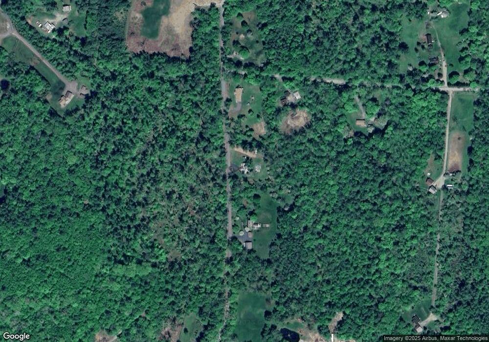
141 Mcadam Rd Westmoreland, NH 03467
Estimated Value: $292,585 - $445,000
2
Beds
1
Bath
1,749
Sq Ft
$214/Sq Ft
Est. Value
About This Home
This home is located at 141 Mcadam Rd, Westmoreland, NH 03467 and is currently estimated at $374,396, approximately $214 per square foot. 141 Mcadam Rd is a home located in Cheshire County with nearby schools including Mayland Early College High School and Keene High School.
Create a Home Valuation Report for This Property
The Home Valuation Report is an in-depth analysis detailing your home's value as well as a comparison with similar homes in the area
Home Values in the Area
Average Home Value in this Area
Tax History Compared to Growth
Tax History
| Year | Tax Paid | Tax Assessment Tax Assessment Total Assessment is a certain percentage of the fair market value that is determined by local assessors to be the total taxable value of land and additions on the property. | Land | Improvement |
|---|---|---|---|---|
| 2024 | $4,160 | $180,400 | $71,500 | $108,900 |
| 2023 | $3,841 | $180,400 | $71,500 | $108,900 |
| 2022 | $3,707 | $180,400 | $71,500 | $108,900 |
| 2021 | $3,680 | $180,400 | $71,500 | $108,900 |
| 2020 | $3,871 | $152,400 | $56,100 | $96,300 |
| 2019 | $4,092 | $152,400 | $56,100 | $96,300 |
| 2018 | $3,883 | $152,400 | $56,100 | $96,300 |
| 2017 | $3,810 | $152,400 | $56,100 | $96,300 |
| 2016 | $3,784 | $152,400 | $56,100 | $96,300 |
| 2015 | $3,559 | $163,200 | $59,400 | $103,800 |
| 2014 | $3,554 | $163,200 | $59,400 | $103,800 |
| 2012 | $3,448 | $163,200 | $59,400 | $103,800 |
Source: Public Records
Map
Nearby Homes
- 43 Westmoreland Rd
- 36 Canal St
- 563 N Shore Rd
- 85 Foley Rd
- 48 Church St
- 000 S Village Rd Unit 13
- 601 River Rd S
- 123 Poocham Rd
- 821 Route 9
- 14 Hurricane Rd
- 1123 River Rd
- 0 Stow Dr Unit 4929741
- 00 S Pine Banks Rd
- 136 Cross Rd
- 119 Main St
- 13 Kimball Hill
- 30 Farr Rd
- Lot 20 -20.3 Farr Rd
- 00 Orchard Rd Unit 1
- 62 Westminster Rd