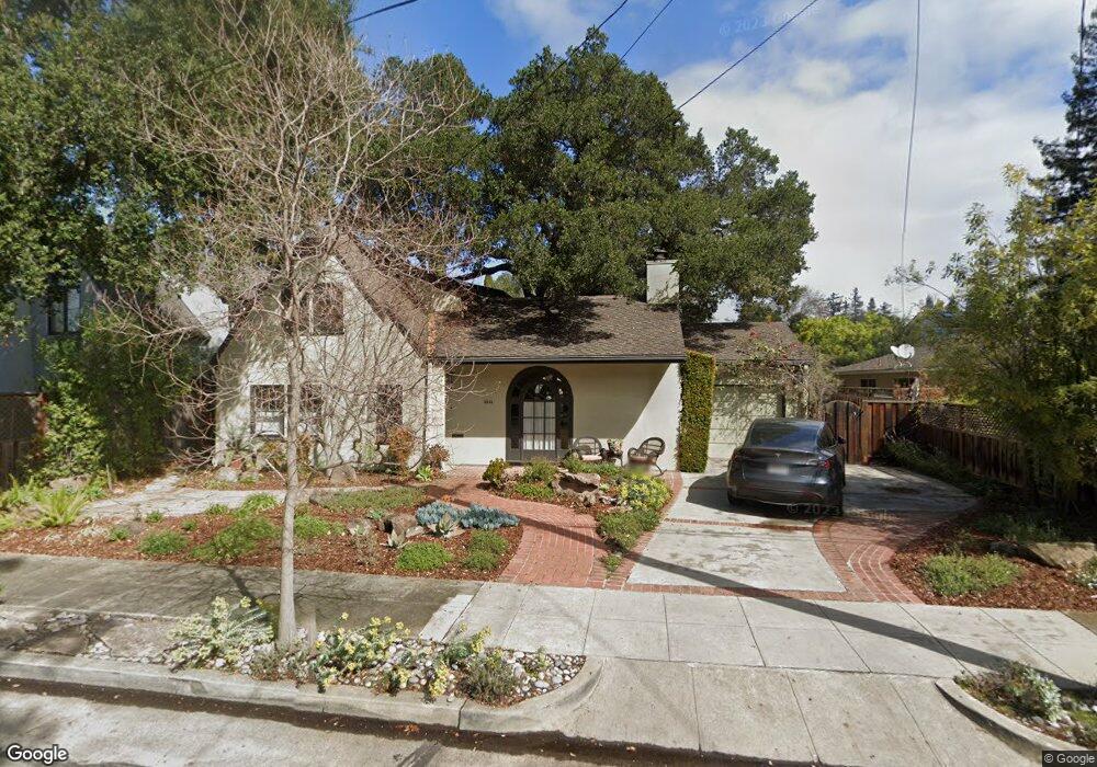
1411 Tasso St Palo Alto, CA 94301
University South NeighborhoodEstimated Value: $4,971,000 - $6,073,000
5
Beds
4
Baths
1,392
Sq Ft
$3,922/Sq Ft
Est. Value
About This Home
This home is located at 1411 Tasso St, Palo Alto, CA 94301 and is currently estimated at $5,460,065, approximately $3,922 per square foot. 1411 Tasso St is a home located in Santa Clara County with nearby schools including Walter Hays Elementary, Frank S. Greene Jr. Middle, and Palo Alto High School.
Ownership History
Date
Name
Owned For
Owner Type
Purchase Details
Closed on
Nov 19, 2014
Sold by
Callan Colm and Callan Julie T
Bought by
Julie & Colm Callan Trust and Tinklenberg Callan Julie
Current Estimated Value
Purchase Details
Closed on
Jun 18, 2004
Sold by
Bernasconi Enrico and Bernasconi Jane Vanrysselberghe
Bought by
Callan Colm and Callan Julie T
Home Financials for this Owner
Home Financials are based on the most recent Mortgage that was taken out on this home.
Original Mortgage
$1,433,250
Outstanding Balance
$658,014
Interest Rate
5.1%
Mortgage Type
Purchase Money Mortgage
Estimated Equity
$4,802,051
Purchase Details
Closed on
Apr 2, 1998
Sold by
Enrico Bernasconi and Enrico Jane V
Bought by
Bernasconi Enrico and Bernasconi Jane Vanrysselberghe
Create a Home Valuation Report for This Property
The Home Valuation Report is an in-depth analysis detailing your home's value as well as a comparison with similar homes in the area
Home Values in the Area
Average Home Value in this Area
Purchase History
| Date | Buyer | Sale Price | Title Company |
|---|---|---|---|
| Julie & Colm Callan Trust | -- | None Available | |
| Callan Colm | $1,911,000 | Old Republic Title Company | |
| Bernasconi Enrico | -- | -- |
Source: Public Records
Mortgage History
| Date | Status | Borrower | Loan Amount |
|---|---|---|---|
| Open | Callan Colm | $1,433,250 |
Source: Public Records
Tax History Compared to Growth
Tax History
| Year | Tax Paid | Tax Assessment Tax Assessment Total Assessment is a certain percentage of the fair market value that is determined by local assessors to be the total taxable value of land and additions on the property. | Land | Improvement |
|---|---|---|---|---|
| 2025 | $31,604 | $2,663,758 | $2,090,868 | $572,890 |
| 2024 | $31,604 | $2,611,528 | $2,049,871 | $561,657 |
| 2023 | $31,138 | $2,560,323 | $2,009,678 | $550,645 |
| 2022 | $30,777 | $2,510,122 | $1,970,273 | $539,849 |
| 2021 | $30,170 | $2,460,905 | $1,931,641 | $529,264 |
| 2020 | $29,546 | $2,435,673 | $1,911,835 | $523,838 |
| 2019 | $29,219 | $2,387,916 | $1,874,349 | $513,567 |
| 2018 | $28,414 | $2,341,096 | $1,837,598 | $503,498 |
| 2017 | $27,915 | $2,295,193 | $1,801,567 | $493,626 |
| 2016 | $27,183 | $2,250,191 | $1,766,243 | $483,948 |
| 2015 | $26,917 | $2,216,392 | $1,739,713 | $476,679 |
| 2014 | $26,377 | $2,172,977 | $1,705,635 | $467,342 |
Source: Public Records
Map
Nearby Homes
- 1218 Middlefield Rd
- 535 Kingsley Ave
- 1119 Hopkins Ave
- 671 Kingsley Ave
- 1730 Webster St
- 627 Tennyson Ave
- 1711 Guinda St
- 231 Churchill Ave
- 560 Addison Ave
- 444 Tennyson Ave
- 1027 Waverley St
- 1033 Guinda St
- 326 Addison Ave
- 1331 Alma St
- 148 Kingsley Ave
- 637 Channing Ave
- 1555 Alma St
- 961 Channing Ave
- 125 Lowell Ave
- 184 Tennyson Ave
- 552 Kellogg Ave
- 1421 Tasso St
- 1420 Webster St
- 1400 Webster St
- 1435 Tasso St
- 1432 Webster St
- 1410 Tasso St
- 1416 Tasso St
- 530 Kellogg Ave
- 1440 Tasso St
- 555 Kellogg Ave
- 1445 Tasso St
- 525 Embarcadero Rd
- 575 Kellogg Ave
- 1350 Tasso St
- 1341 Tasso St
- 505 Embarcadero Rd
- 1492 Webster St
- 1415 Cowper St
- 1401 Cowper St