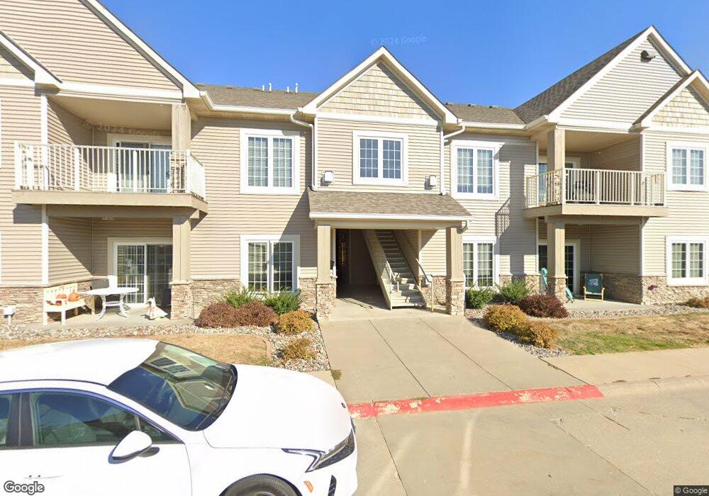
14115 Airline Ave Unit 1 Urbandale, IA 50323
Estimated Value: $193,000 - $954,000
2
Beds
3
Baths
1,194
Sq Ft
$495/Sq Ft
Est. Value
About This Home
This home is located at 14115 Airline Ave Unit 1, Urbandale, IA 50323 and is currently estimated at $590,600, approximately $494 per square foot. 14115 Airline Ave Unit 1 is a home located in Polk County with nearby schools including Webster Elementary School, Urbandale Middle School, and Urbandale High School.
Ownership History
Date
Name
Owned For
Owner Type
Purchase Details
Closed on
Mar 19, 2012
Sold by
Crystal Creek Builders Llc
Bought by
Cbm Llc
Current Estimated Value
Home Financials for this Owner
Home Financials are based on the most recent Mortgage that was taken out on this home.
Original Mortgage
$77,147
Outstanding Balance
$53,020
Interest Rate
3.88%
Mortgage Type
Future Advance Clause Open End Mortgage
Estimated Equity
$537,580
Create a Home Valuation Report for This Property
The Home Valuation Report is an in-depth analysis detailing your home's value as well as a comparison with similar homes in the area
Home Values in the Area
Average Home Value in this Area
Purchase History
| Date | Buyer | Sale Price | Title Company |
|---|---|---|---|
| Cbm Llc | $518,500 | None Available |
Source: Public Records
Mortgage History
| Date | Status | Borrower | Loan Amount |
|---|---|---|---|
| Open | Cbm Llc | $77,147 |
Source: Public Records
Tax History Compared to Growth
Tax History
| Year | Tax Paid | Tax Assessment Tax Assessment Total Assessment is a certain percentage of the fair market value that is determined by local assessors to be the total taxable value of land and additions on the property. | Land | Improvement |
|---|---|---|---|---|
| 2025 | $2,312 | $150,600 | $35,400 | $115,200 |
| 2024 | $2,312 | $127,700 | $30,000 | $97,700 |
| 2023 | $2,174 | $127,700 | $30,000 | $97,700 |
| 2022 | $2,148 | $101,300 | $23,800 | $77,500 |
| 2021 | $2,076 | $101,300 | $23,800 | $77,500 |
| 2020 | $2,040 | $92,900 | $21,800 | $71,100 |
| 2019 | $1,938 | $92,900 | $21,800 | $71,100 |
| 2018 | $1,870 | $83,000 | $19,500 | $63,500 |
| 2017 | $1,838 | $83,000 | $19,500 | $63,500 |
| 2016 | $1,794 | $80,000 | $18,800 | $61,200 |
| 2015 | $1,794 | $80,000 | $18,800 | $61,200 |
| 2014 | $1,812 | $80,000 | $18,800 | $61,200 |
Source: Public Records
Map
Nearby Homes
- 4111 140th St
- 4124 139th St
- 14136 Wilden Dr
- 14134 Wilden Dr
- 4622 173rd St
- 4616 173rd St
- 4647 173rd St
- 14327 Aurora Ave
- 4016 127th St
- 12926 Timberline Dr
- 12723 Sunflower Dr
- 12912 Hammontree Dr
- 4523 143rd St
- 12510 Prairie Dr
- 12527 Airline Ave
- 4309 129th St
- 4315 129th St
- 12515 Airline Ave
- 4514 145th St
- 4766 148th St
- 14115 Airline Ave Unit 8
- 14115 Airline Ave Unit 7
- 14115 Airline Ave Unit 6
- 14115 Airline Ave Unit 5
- 14115 Airline Ave Unit 4
- 14115 Airline Ave Unit 3
- 14115 Airline Ave
- 14108 Ridgemont Dr
- 14105 Airline Ave Unit 8
- 14105 Airline Ave Unit 7
- 14105 Airline Ave Unit 6
- 14105 Airline Ave Unit 5
- 14105 Airline Ave Unit 4
- 14105 Airline Ave Unit 3
- 14105 Airline Ave Unit 2
- 14105 Airline Ave Unit 1
- 14104 Ridgemont Dr
- 14106 Ridgemont Dr
- 14036 Ridgemont Dr
- 3915 141st St Unit 8