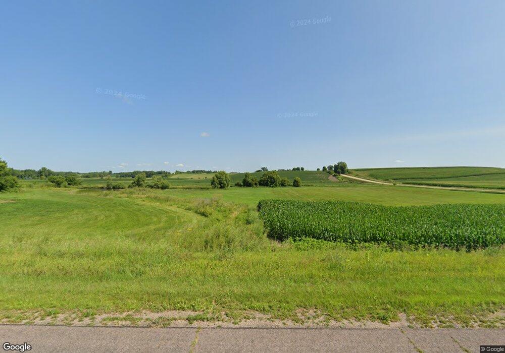
14118 320th St Montgomery, MN 56069
Estimated Value: $454,000 - $606,000
4
Beds
2
Baths
1,451
Sq Ft
$386/Sq Ft
Est. Value
About This Home
This home is located at 14118 320th St, Montgomery, MN 56069 and is currently estimated at $560,385, approximately $386 per square foot. 14118 320th St is a home located in Le Sueur County with nearby schools including Tri-City United Montgomery PreK-8, Tri-City United Lonsdale PreK-6 Elementary School, and Tri-City United High School.
Ownership History
Date
Name
Owned For
Owner Type
Purchase Details
Closed on
Dec 20, 2012
Sold by
Cameron Bruce L and Cameron Penny M
Bought by
Wondra Reid and Giesen Veronica
Current Estimated Value
Home Financials for this Owner
Home Financials are based on the most recent Mortgage that was taken out on this home.
Original Mortgage
$202,000
Outstanding Balance
$139,358
Interest Rate
3.28%
Estimated Equity
$421,027
Create a Home Valuation Report for This Property
The Home Valuation Report is an in-depth analysis detailing your home's value as well as a comparison with similar homes in the area
Home Values in the Area
Average Home Value in this Area
Purchase History
| Date | Buyer | Sale Price | Title Company |
|---|---|---|---|
| Wondra Reid | -- | North American Title Company | |
| Wondra Reid | $252,500 | -- |
Source: Public Records
Mortgage History
| Date | Status | Borrower | Loan Amount |
|---|---|---|---|
| Open | Wondra Reid | $202,000 | |
| Closed | Wondra Reid | $202,000 |
Source: Public Records
Tax History Compared to Growth
Tax History
| Year | Tax Paid | Tax Assessment Tax Assessment Total Assessment is a certain percentage of the fair market value that is determined by local assessors to be the total taxable value of land and additions on the property. | Land | Improvement |
|---|---|---|---|---|
| 2025 | $4,548 | $498,600 | $181,700 | $316,900 |
| 2024 | $4,614 | $490,500 | $181,700 | $308,800 |
| 2023 | $4,590 | $489,700 | $181,700 | $308,000 |
| 2022 | $4,418 | $461,300 | $177,700 | $283,600 |
| 2021 | $4,260 | $388,700 | $158,700 | $230,000 |
| 2020 | $3,954 | $370,300 | $153,700 | $216,600 |
| 2019 | $3,680 | $333,500 | $141,536 | $191,964 |
| 2018 | $3,665 | $309,800 | $135,778 | $174,022 |
| 2017 | $3,333 | $289,700 | $126,264 | $163,436 |
| 2016 | $3,408 | $287,800 | $126,173 | $161,627 |
| 2015 | $3,393 | $289,800 | $126,265 | $163,535 |
| 2014 | $3,089 | $262,400 | $117,372 | $145,028 |
| 2013 | $3,076 | $260,200 | $131,609 | $128,591 |
Source: Public Records
Map
Nearby Homes
- XXX State Highway 99
- 37852 161st Ave
- XXX State Highway 13
- 39321 141st Ave
- 13419 State Highway 21
- 411 Oak Ave SE
- 400 Elm Ave SE
- XXXXX 141st Ave
- 305 Elm Ave SE
- 209 Oak Ave SW
- 508 Oak Ave SW
- 307 Elm Ave SW
- 619 Fir Ave NE
- 202 6th St NE
- 600 Boulevard Ave NE
- 218 6th St NE
- 220 6th St NE
- 410 Spruce Ave NW
- 610 Spruce Ave NW
- 512 3rd St NE
- 37514 151st Ave
- 37351 151st Ave
- 37334 151st Ave
- 37612 151st Ave
- 14665 370th St
- 14xxx 370th St W
- 14819 370th St
- 14935 380th St
- 38060 151st Ave NE
- 14348 380th St
- 14710 370th St
- 38113 145th Ave
- TBD L2b5 Greenleaf Estates St E
- TBD Sugar Maple Ln
- TBD L6b2 Greenleaf Estates
- TBD Greenleaf Dr
- 14316 372nd Ln
- XXX Lesueur Ave
- XXXXX 181st Ave
- XXXX 336th St
