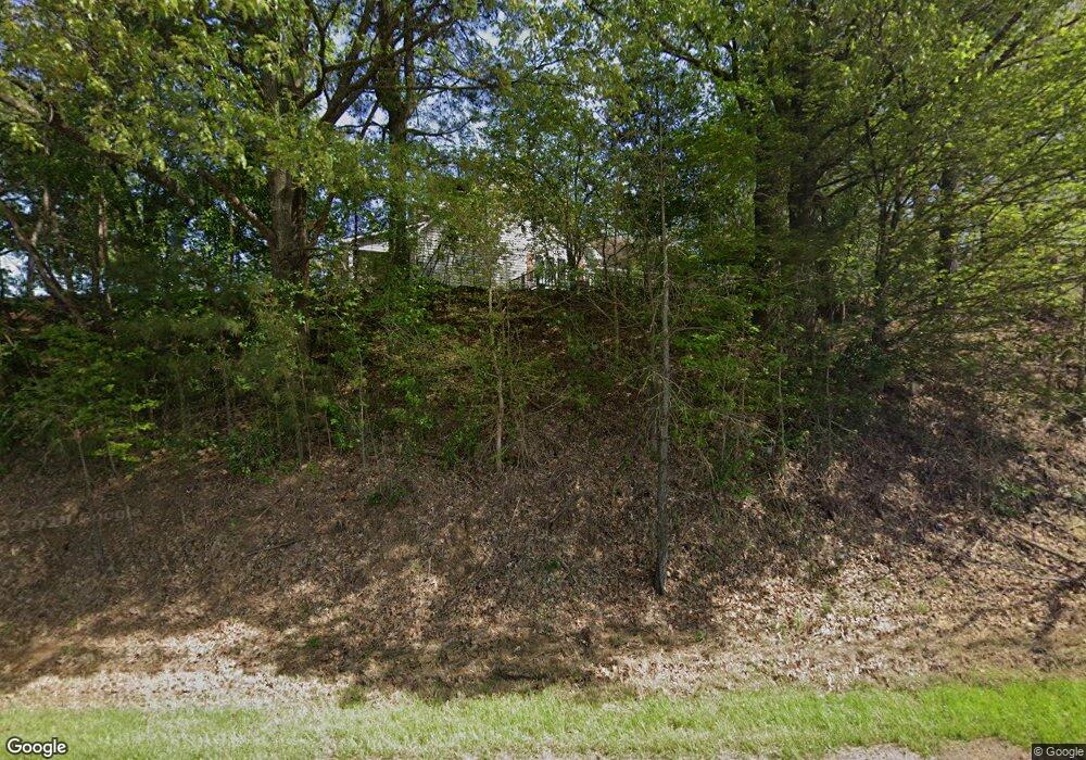
1412 N Highway 51 S Union City, TN 38261
Estimated Value: $245,385 - $301,000
3
Beds
3
Baths
2,112
Sq Ft
$125/Sq Ft
Est. Value
About This Home
This home is located at 1412 N Highway 51 S, Union City, TN 38261 and is currently estimated at $263,846, approximately $124 per square foot. 1412 N Highway 51 S is a home located in Obion County.
Ownership History
Date
Name
Owned For
Owner Type
Purchase Details
Closed on
Jul 11, 2016
Sold by
First Citizens National Ba
Bought by
Ogden Phillip D and Ogden Ginger R
Current Estimated Value
Home Financials for this Owner
Home Financials are based on the most recent Mortgage that was taken out on this home.
Original Mortgage
$110,000
Outstanding Balance
$87,870
Interest Rate
3.6%
Mortgage Type
New Conventional
Estimated Equity
$175,976
Purchase Details
Closed on
Jan 21, 2016
Sold by
Castellaw Jody
Bought by
First Citizens National Bank
Purchase Details
Closed on
Jun 18, 1999
Sold by
Jo Caudle Betty
Bought by
Jody Castellaw
Purchase Details
Closed on
May 11, 1990
Bought by
Caudle Robert
Purchase Details
Closed on
Jul 28, 1987
Bought by
Caudle Robert
Purchase Details
Closed on
Jan 1, 1987
Create a Home Valuation Report for This Property
The Home Valuation Report is an in-depth analysis detailing your home's value as well as a comparison with similar homes in the area
Home Values in the Area
Average Home Value in this Area
Purchase History
| Date | Buyer | Sale Price | Title Company |
|---|---|---|---|
| Ogden Phillip D | $122,500 | -- | |
| First Citizens National Bank | $91,827 | -- | |
| Jody Castellaw | $160,000 | -- | |
| Caudle Robert | $3,000 | -- | |
| Caudle Robert | -- | -- | |
| -- | $3,000 | -- |
Source: Public Records
Mortgage History
| Date | Status | Borrower | Loan Amount |
|---|---|---|---|
| Open | Ogden Phillip D | $110,000 |
Source: Public Records
Tax History Compared to Growth
Tax History
| Year | Tax Paid | Tax Assessment Tax Assessment Total Assessment is a certain percentage of the fair market value that is determined by local assessors to be the total taxable value of land and additions on the property. | Land | Improvement |
|---|---|---|---|---|
| 2024 | $813 | $58,925 | $2,700 | $56,225 |
| 2023 | $813 | $58,925 | $2,700 | $56,225 |
| 2022 | $618 | $32,525 | $2,700 | $29,825 |
| 2021 | $618 | $32,525 | $2,700 | $29,825 |
| 2020 | $618 | $32,525 | $2,700 | $29,825 |
| 2019 | $618 | $32,525 | $2,700 | $29,825 |
| 2018 | $620 | $32,525 | $2,700 | $29,825 |
| 2017 | $690 | $34,425 | $2,700 | $31,725 |
| 2016 | $690 | $34,425 | $2,700 | $31,725 |
| 2015 | $690 | $34,425 | $2,700 | $31,725 |
| 2014 | $690 | $34,425 | $2,700 | $31,725 |
Source: Public Records
Map
Nearby Homes
- 1719 Martin Dr
- 0 Add Osburn Rd
- 1428 Meadow Dr
- 612 Wynridge Dr
- 1587 Troy Hickman Rd
- Lot 11 Wynridge
- Lot 10 Wynridge
- 2610-2608 Nettle St
- 1403 Lynn Place
- 488 Allyson Dr
- 608 Homestead Dr
- 614 Homestead Dr
- 622 Homestead Dr
- 713 Homestead Dr
- 533 Homestead Dr
- 525 Homestead Dr
- 523 Homestead Dr
- 619 Homestead Dr
- 129 Virginia Dr
- 138 Virginia Dr
- 1388 N Highway 51 S
- 1371 N Highway 51 S
- 0 Highway 51 S Unit 43358
- 1534 N Highway 51 S
- 1544 Reese Alexander Rd
- 1271 Forrester Rd
- 00 Wade Wiley
- 1191 Reese Alexander Rd
- 1183 Reese Alexander Rd
- 1269 Forrester Rd
- 1203 Reese Alexander Rd
- 1215 Forrester Rd
- 00 Reese Alexander Rd
- 0 Reese Alexander Rd
- 1409 Quail Ridge Cove
- 1169 Reese Alexander Rd
- 1556 Quail Ridge Cove
- 1556 Quail Ridge Rd
- 1753 N Wade Wiley Rd
- 1267 Forrester Rd
