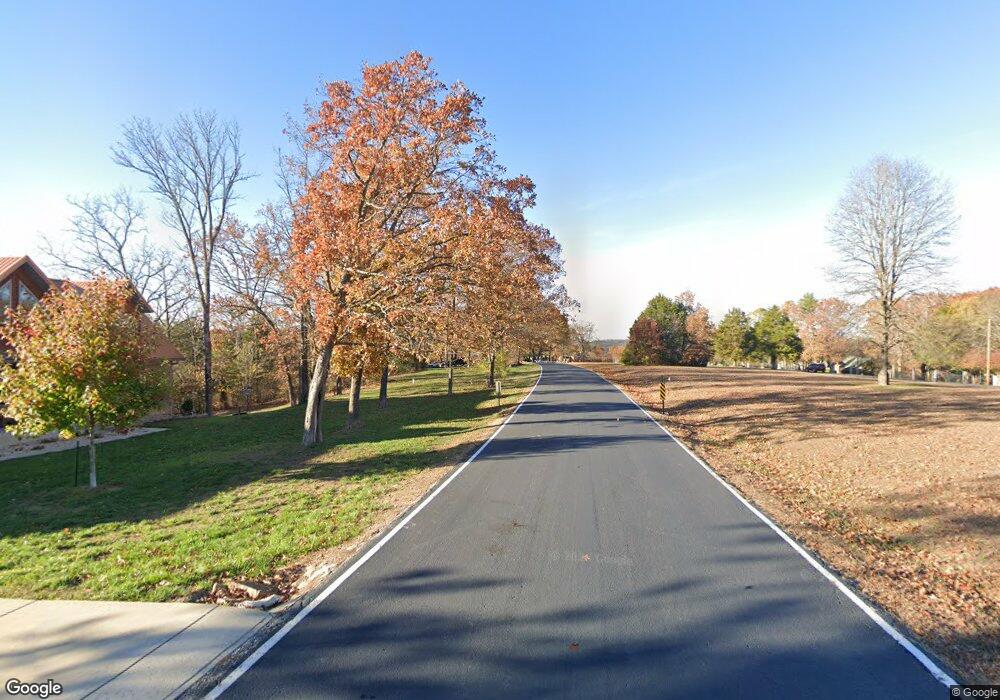
1412 Taylor St Shell Knob, MO 65747
Estimated Value: $254,000 - $442,000
2
Beds
2
Baths
1,892
Sq Ft
$170/Sq Ft
Est. Value
About This Home
This home is located at 1412 Taylor St, Shell Knob, MO 65747 and is currently estimated at $322,333, approximately $170 per square foot. 1412 Taylor St is a home with nearby schools including Shell Knob Elementary School.
Ownership History
Date
Name
Owned For
Owner Type
Purchase Details
Closed on
Sep 26, 2016
Sold by
Parker Terry S and Parker Melissa B
Bought by
Parker Troy Shawn and Parker Tonya M
Current Estimated Value
Home Financials for this Owner
Home Financials are based on the most recent Mortgage that was taken out on this home.
Original Mortgage
$135,000
Outstanding Balance
$107,833
Interest Rate
3.43%
Mortgage Type
New Conventional
Estimated Equity
$214,500
Purchase Details
Closed on
May 13, 2011
Sold by
Rutledge Thelma J
Bought by
Parker Terry S and Parker Melissa B
Home Financials for this Owner
Home Financials are based on the most recent Mortgage that was taken out on this home.
Original Mortgage
$83,200
Interest Rate
3.75%
Mortgage Type
Adjustable Rate Mortgage/ARM
Create a Home Valuation Report for This Property
The Home Valuation Report is an in-depth analysis detailing your home's value as well as a comparison with similar homes in the area
Purchase History
| Date | Buyer | Sale Price | Title Company |
|---|---|---|---|
| Parker Troy Shawn | -- | None Available | |
| Parker Terry S | $104,000 | Bcat |
Source: Public Records
Mortgage History
| Date | Status | Borrower | Loan Amount |
|---|---|---|---|
| Open | Parker Troy Shawn | $135,000 | |
| Closed | Parker Terry S | $83,200 |
Source: Public Records
Tax History
| Year | Tax Paid | Tax Assessment Tax Assessment Total Assessment is a certain percentage of the fair market value that is determined by local assessors to be the total taxable value of land and additions on the property. | Land | Improvement |
|---|---|---|---|---|
| 2025 | $954 | $21,223 | $3,857 | $17,366 |
| 2024 | $10 | $19,646 | $3,857 | $15,789 |
| 2023 | $960 | $19,646 | $3,857 | $15,789 |
| 2022 | $960 | $19,646 | $3,857 | $15,789 |
| 2020 | $793 | $15,637 | $1,843 | $13,794 |
| 2018 | $781 | $15,637 | $1,843 | $13,794 |
| 2017 | $672 | $15,333 | $1,843 | $13,490 |
| 2016 | $649 | $14,402 | $1,672 | $12,730 |
| 2015 | -- | $14,402 | $1,672 | $12,730 |
| 2014 | -- | $14,288 | $1,672 | $12,616 |
| 2012 | -- | $0 | $0 | $0 |
Source: Public Records
Map
Nearby Homes
- 21380 Access Rd
- .25M/L Farm Road 2210
- 26386 State Highway Yy
- Lot 11 Mountain View Pkwy
- 20615 Table Rock Ridge Rd
- 26032 State Highway 39
- 26094 State Highway 39
- 21992 Knob Hill Ln
- 22008 Ice House Ln
- 21277 Needles Eye Rd
- 28110 State Highway 39
- 21461 Needles Eye Rd
- 24886 State Highway 39
- 6 Lots Needles Eye Rd
- Tbd Needles Eye Rd
- Lot142 143 Needles Eye Rd
- 21791 Mill Creek Dr
- .17M/L Farm Road 2208
- 21942 Mill Creek Cir
- 22009 Mill Creek Way
- 21312 Thunder Cliff
- 21344 Thunder Cliff
- 25838 Carthage Ln
- 21324 Thunder Cliff
- 112 White Oak
- 0 Thunder Cliff
- Lots 39&40 Thunder Cliff
- Lot 12 Thurnder Cliff
- 26009 Ohio Ln
- 25930 Ohio Ln
- 25878 Carthage Ln
- 1735 Cedar Dr
- 25993 Centerwood Ln
- 21257 Narrows Ln
- 26005 Bridgeview Dr
- Hcr 3 Yy & Centerwood Dr
- YY Yy
- 25799 State Highway Yy
- 0 Lakeside Dr Unit LOT 178 60195191
- Tbd Lakeside Dr
