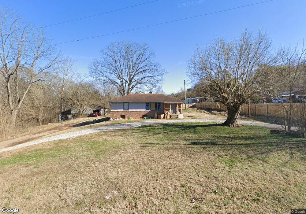
1414 Adams Rd Strawberry Plains, TN 37871
Estimated Value: $180,000 - $246,000
--
Bed
1
Bath
1,008
Sq Ft
$202/Sq Ft
Est. Value
About This Home
This home is located at 1414 Adams Rd, Strawberry Plains, TN 37871 and is currently estimated at $203,234, approximately $201 per square foot. 1414 Adams Rd is a home located in Jefferson County.
Ownership History
Date
Name
Owned For
Owner Type
Purchase Details
Closed on
Jul 24, 2013
Sold by
Mccloud Guy C
Bought by
Morgan Lori Mccloud
Current Estimated Value
Purchase Details
Closed on
Mar 9, 2007
Sold by
Vanderbilt Mtg Finance Inc
Bought by
Gwen Phelps
Home Financials for this Owner
Home Financials are based on the most recent Mortgage that was taken out on this home.
Original Mortgage
$85,163
Interest Rate
6.22%
Purchase Details
Closed on
Feb 1, 2005
Bought by
Mccloud Guy C and Mccloud Sandra W
Purchase Details
Closed on
Apr 4, 2003
Sold by
Mccloud Roy R and Mccloud Lois I
Bought by
Parker Edward H and Parker Nancy B
Purchase Details
Closed on
Jul 5, 1978
Bought by
Mccloud Lois and Mccloud Roy R
Purchase Details
Closed on
Aug 9, 1966
Create a Home Valuation Report for This Property
The Home Valuation Report is an in-depth analysis detailing your home's value as well as a comparison with similar homes in the area
Home Values in the Area
Average Home Value in this Area
Purchase History
| Date | Buyer | Sale Price | Title Company |
|---|---|---|---|
| Morgan Lori Mccloud | -- | -- | |
| Gwen Phelps | $86,500 | -- | |
| Mccloud Guy C | -- | -- | |
| Parker Edward H | $50,000 | -- | |
| Mccloud Lois | -- | -- | |
| -- | -- | -- |
Source: Public Records
Mortgage History
| Date | Status | Borrower | Loan Amount |
|---|---|---|---|
| Previous Owner | Not Available | $85,163 |
Source: Public Records
Tax History Compared to Growth
Tax History
| Year | Tax Paid | Tax Assessment Tax Assessment Total Assessment is a certain percentage of the fair market value that is determined by local assessors to be the total taxable value of land and additions on the property. | Land | Improvement |
|---|---|---|---|---|
| 2025 | $601 | $38,250 | $12,650 | $25,600 |
| 2023 | $601 | $26,125 | $0 | $0 |
| 2022 | $572 | $26,125 | $11,625 | $14,500 |
| 2021 | $572 | $26,125 | $11,625 | $14,500 |
| 2020 | $572 | $26,125 | $11,625 | $14,500 |
| 2019 | $572 | $26,125 | $11,625 | $14,500 |
| 2018 | $578 | $24,600 | $11,625 | $12,975 |
| 2017 | $578 | $24,600 | $11,625 | $12,975 |
| 2016 | $578 | $24,600 | $11,625 | $12,975 |
| 2015 | $578 | $24,600 | $11,625 | $12,975 |
| 2014 | $580 | $24,675 | $11,625 | $13,050 |
Source: Public Records
Map
Nearby Homes
- 22 Laura Boling Loop Rd
- 20 Laura Boling Loop Rd
- 10 Laura Boling Loop Rd
- 2 Laura Boling Loop Rd
- Lot 9 Laura Boling Loop Rd
- 13 Laura Boling Loop Rd
- 21 Laura Boling Loop Rd
- 375 Old Dandridge Pike
- 5220 Gann Ln
- 2928 Bluegrass Ln
- 4853 Shady Rd
- 4819 Hillard Ln
- 17-22 & 55 Elm St
- lots 13-16 Elm St
- 130 Westford Dr
- 4723 Chesney Meadows Dr
- Lots 14-15 W View Dr
- 3136 W Old A J Hwy W
- Lots 14&15 W View Dr
- 2810 Daybreak Way