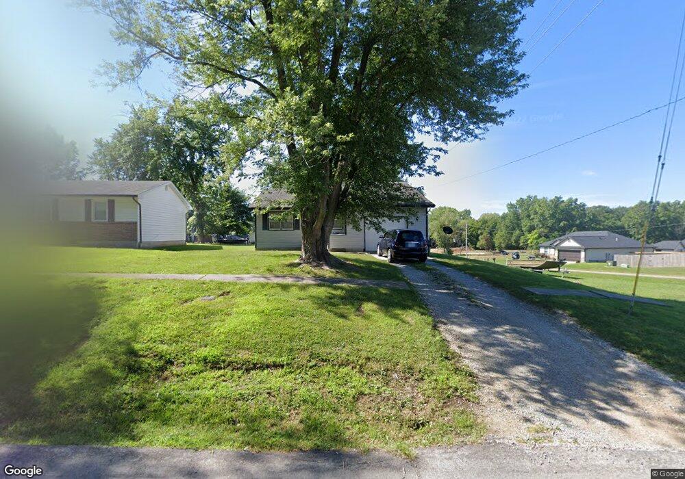
1414 Quinn St Moberly, MO 65270
Estimated Value: $116,591 - $162,000
1
Bed
1
Bath
1,080
Sq Ft
$129/Sq Ft
Est. Value
About This Home
This home is located at 1414 Quinn St, Moberly, MO 65270 and is currently estimated at $139,648, approximately $129 per square foot. 1414 Quinn St is a home located in Randolph County with nearby schools including Moberly Senior High School, St. Pius X. Catholic School, and Maranatha Seventh-day Adventist School.
Ownership History
Date
Name
Owned For
Owner Type
Purchase Details
Closed on
Sep 18, 2017
Sold by
City Of Moberly
Bought by
Lake Connie and Lake Mike
Current Estimated Value
Purchase Details
Closed on
Jun 14, 2017
Sold by
Bailey Patsy K
Bought by
Lake Connie and Lake Mike
Home Financials for this Owner
Home Financials are based on the most recent Mortgage that was taken out on this home.
Original Mortgage
$37,000
Interest Rate
4.02%
Mortgage Type
Stand Alone First
Create a Home Valuation Report for This Property
The Home Valuation Report is an in-depth analysis detailing your home's value as well as a comparison with similar homes in the area
Home Values in the Area
Average Home Value in this Area
Purchase History
| Date | Buyer | Sale Price | Title Company |
|---|---|---|---|
| Lake Connie | -- | None Available | |
| Lake Connie | -- | None Available |
Source: Public Records
Mortgage History
| Date | Status | Borrower | Loan Amount |
|---|---|---|---|
| Previous Owner | Lake Connie | $37,000 |
Source: Public Records
Tax History Compared to Growth
Tax History
| Year | Tax Paid | Tax Assessment Tax Assessment Total Assessment is a certain percentage of the fair market value that is determined by local assessors to be the total taxable value of land and additions on the property. | Land | Improvement |
|---|---|---|---|---|
| 2025 | $1,098 | $16,230 | $2,440 | $13,790 |
| 2024 | $1,098 | $15,080 | $2,128 | $12,952 |
| 2023 | $1,115 | $15,080 | $2,128 | $12,952 |
| 2022 | $1,041 | $14,460 | $2,128 | $12,332 |
| 2021 | $1,041 | $14,460 | $2,128 | $12,332 |
| 2020 | $1,041 | $14,460 | $2,128 | $12,332 |
| 2019 | $1,038 | $14,460 | $2,128 | $12,332 |
| 2018 | $1,022 | $14,270 | $2,129 | $12,141 |
| 2017 | $955 | $13,370 | $0 | $0 |
| 2016 | $909 | $12,790 | $0 | $0 |
| 2014 | -- | $11,630 | $0 | $0 |
| 2013 | -- | $11,630 | $0 | $0 |
| 2012 | -- | $11,560 | $0 | $0 |
Source: Public Records
Map
Nearby Homes
- 1414 Buchanan St
- 1415 Scott St
- 0 Buchanan St
- 1524 Myra St
- 1541 Myra St
- 1224 &1226 Henry St
- 1 Stone Ave
- 1201 Bond St
- 1123 Concannon St
- 1029 Concannon St
- 1206 W Highway 24
- 620 Burkholder St
- 800 Franklin St
- 816 W Reed St
- 808 W Reed St
- 959 U S 24
- 1126 Fisk Ave
- 710 W Rollins St
- 641 Park Ave
- 236 Bedford St
- 1410 Quinn St
- 1404 Quinn St
- lots 7-11 Quinn St
- 1411 Buchanan St
- 1409 Buchanan St
- 1500 Ellis Place
- 1407 Buchanan St
- 1512 Ellis Place
- 1400 Quinn St
- 1009 Holman Rd
- 1401 Buchanan St
- 1405 Quinn St
- 1504 Ellis Place
- 1501 Ellis Place
- 1412 Buchanan St
- 1329 Buchanan St
- 1508 Ellis Place
- 1408 Buchanan St
- 1505 Ellis Place
- 1330 Quinn St