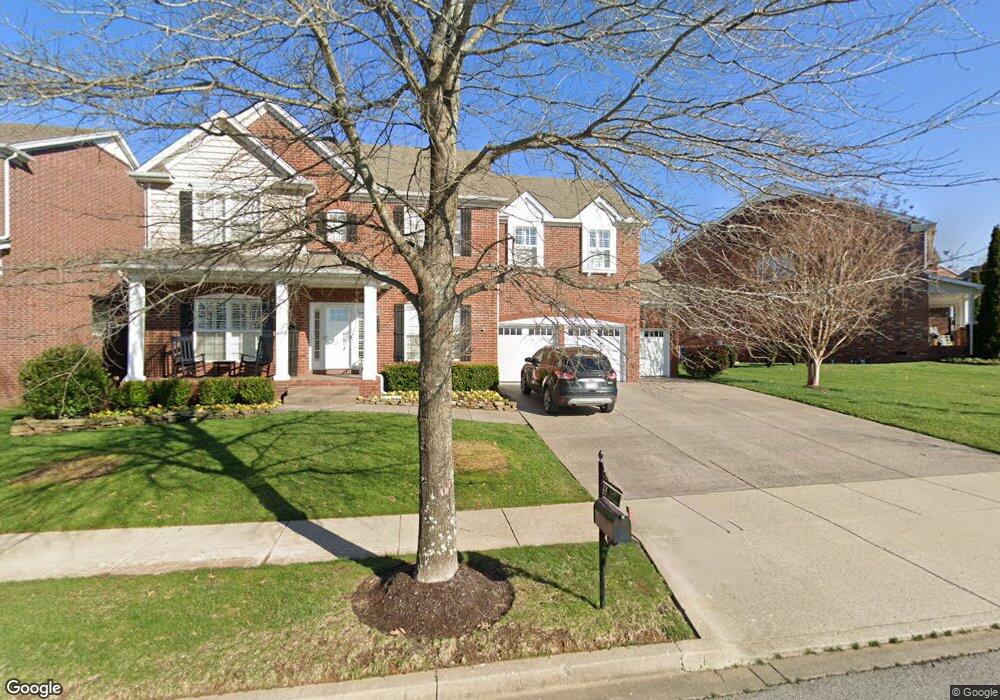
1417 Hanson Dr Franklin, TN 37067
Estimated Value: $873,152 - $972,000
--
Bed
--
Bath
3,485
Sq Ft
$261/Sq Ft
Est. Value
About This Home
This home is located at 1417 Hanson Dr, Franklin, TN 37067 and is currently estimated at $909,288, approximately $260 per square foot. 1417 Hanson Dr is a home located in Williamson County with nearby schools including Clovercroft Elementary School, Fred J. Page Middle School, and Centennial High School.
Ownership History
Date
Name
Owned For
Owner Type
Purchase Details
Closed on
Mar 7, 2008
Sold by
Adams Mathew Quinn and Adams Garlan Gregory
Bought by
Long Allen R and Long Charla R
Current Estimated Value
Home Financials for this Owner
Home Financials are based on the most recent Mortgage that was taken out on this home.
Original Mortgage
$95,250
Interest Rate
5.46%
Mortgage Type
Unknown
Purchase Details
Closed on
Aug 27, 2007
Sold by
The Jones Co Of Tennessee Llc
Bought by
Adams Mathew Quinn and Adams Garlan Gregory
Home Financials for this Owner
Home Financials are based on the most recent Mortgage that was taken out on this home.
Original Mortgage
$55,490
Interest Rate
6.7%
Mortgage Type
Stand Alone Second
Create a Home Valuation Report for This Property
The Home Valuation Report is an in-depth analysis detailing your home's value as well as a comparison with similar homes in the area
Home Values in the Area
Average Home Value in this Area
Purchase History
| Date | Buyer | Sale Price | Title Company |
|---|---|---|---|
| Long Allen R | $381,000 | None Available | |
| Adams Mathew Quinn | $369,940 | Southland Title & Escrow Co |
Source: Public Records
Mortgage History
| Date | Status | Borrower | Loan Amount |
|---|---|---|---|
| Closed | Long Allen R | $95,250 | |
| Open | Long Allen R | $285,750 | |
| Previous Owner | Adams Mathew Quinn | $55,490 | |
| Previous Owner | Adams Mathew Quinn | $295,950 |
Source: Public Records
Tax History Compared to Growth
Tax History
| Year | Tax Paid | Tax Assessment Tax Assessment Total Assessment is a certain percentage of the fair market value that is determined by local assessors to be the total taxable value of land and additions on the property. | Land | Improvement |
|---|---|---|---|---|
| 2024 | $3,044 | $141,200 | $25,000 | $116,200 |
| 2023 | $3,044 | $141,200 | $25,000 | $116,200 |
| 2022 | $3,044 | $141,200 | $25,000 | $116,200 |
| 2021 | $3,044 | $141,200 | $25,000 | $116,200 |
| 2020 | $2,809 | $108,975 | $21,250 | $87,725 |
| 2019 | $2,809 | $108,975 | $21,250 | $87,725 |
| 2018 | $2,733 | $108,975 | $21,250 | $87,725 |
| 2017 | $2,478 | $99,625 | $21,250 | $78,375 |
| 2016 | $0 | $99,625 | $21,250 | $78,375 |
| 2015 | -- | $84,050 | $18,750 | $65,300 |
| 2014 | -- | $84,050 | $18,750 | $65,300 |
Source: Public Records
Map
Nearby Homes
- 1407 Hanson Dr
- 6060 Lookaway Cir
- 6035 Lookaway Cir
- 1068 Amelia Park Dr
- 1055 Amelia Park Dr
- 1132 Amelia Park Dr
- 4165 Clovercroft Rd
- 1607 Sand Dollar Ct
- 1422 Marrimans Ct
- 1820 Lanceford Ct
- 4160 Clovercroft Rd
- 6001 Poplar Farms Dr
- 5049 Poplar Farms Dr
- 5043 Poplar Farms Dr
- 5037 Poplar Farms Dr
- 5031 Poplar Farms Dr
- 5025 Poplar Farms Dr
- 5013 Brightwood Ct
- 5019 Poplar Farms Dr
- 5001 Poplar Farms Dr