14185 Baker Rd Red Bluff, CA 96080
Estimated Value: $464,500
4
Beds
1
Bath
2,016
Sq Ft
$230/Sq Ft
Est. Value
About This Home
This home is located at 14185 Baker Rd, Red Bluff, CA 96080 and is currently priced at $464,500, approximately $230 per square foot. 14185 Baker Rd is a home located in Tehama County with nearby schools including Jackson Heights Elementary School, Vista Preparatory Academy, and Red Bluff High School.
Ownership History
Date
Name
Owned For
Owner Type
Purchase Details
Closed on
Feb 17, 2021
Sold by
Haugen Thomas Allen and Haugen Thomas A
Bought by
Haugen Thomas Allen
Current Estimated Value
Purchase Details
Closed on
Jan 6, 2003
Sold by
Haugen Thomas A and Haugen Janet A
Bought by
Haugen Thomas A
Purchase Details
Closed on
Jun 13, 2001
Sold by
Fitzgerald Martha Jo and Andrews Melvena Kaye
Bought by
Haugen Tom and Haugen Janet
Home Financials for this Owner
Home Financials are based on the most recent Mortgage that was taken out on this home.
Original Mortgage
$76,000
Outstanding Balance
$28,971
Interest Rate
7.15%
Create a Home Valuation Report for This Property
The Home Valuation Report is an in-depth analysis detailing your home's value as well as a comparison with similar homes in the area
Purchase History
| Date | Buyer | Sale Price | Title Company |
|---|---|---|---|
| Haugen Thomas Allen | -- | None Available | |
| Haugen Thomas A | -- | -- | |
| Haugen Tom | $145,000 | Fidelity National Title Co |
Source: Public Records
Mortgage History
| Date | Status | Borrower | Loan Amount |
|---|---|---|---|
| Open | Haugen Tom | $76,000 |
Source: Public Records
Tax History
| Year | Tax Paid | Tax Assessment Tax Assessment Total Assessment is a certain percentage of the fair market value that is determined by local assessors to be the total taxable value of land and additions on the property. | Land | Improvement |
|---|---|---|---|---|
| 2020 | $27 | $142,835 | $34,433 | $108,402 |
| 2019 | $34 | $140,035 | $33,758 | $106,277 |
| 2018 | $53 | $137,291 | $33,097 | $104,194 |
| 2017 | $26 | $123,326 | $32,449 | $90,877 |
| 2016 | $1,170 | $120,909 | $31,813 | $89,096 |
| 2015 | $1,151 | $119,094 | $31,336 | $87,758 |
| 2014 | $1,133 | $116,762 | $30,723 | $86,039 |
Source: Public Records
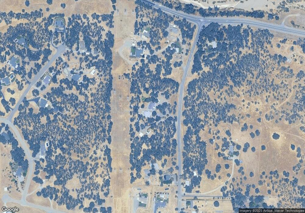
Map
Nearby Homes
- 14430 Molluc Dr
- 20662 Saddlebrook Dr
- 14465 Ryan Ln
- Lot D Aloe Place
- 13905 Mendenhall Rd
- 14765 Molluc Dr
- 14560 Warren Ave
- 4375 Via Ventura
- 14575 Kinney Ave
- 14815 Molluc Dr
- 21300 Meadowgate Dr
- 14605 Kinney Ave
- 0 Ludlow Ave Unit SN25045951
- 14395 Del Oro Ct
- 225 Sparrow Ct
- 00 Wilcox Rd
- 14435 Del Oro Ct
- 14807 Hilltop Dr
- 14805 Hilltop Dr Unit 14807 Hilltop Drive
- 14805 Hilltop Dr
- 14183 Baker Rd
- 20715 Dream Way
- 14119 Baker Rd
- 20735 Dream Way
- 14117 Baker Rd
- 14115 Baker Rd
- 20720 Dream Way
- 20740 Dream Way
- 14190 Woodrose Place
- 14100 Baker Rd
- 14224 Baker Rd
- 14210 Woodrose Place
- 20740 Manter Ct
- 14082 Baker Rd
- 14180 Woodrose Place
- 14170 Woodrose Place
- 0000 Manter Ct
- 14072 Baker Rd
- 20660 Manter Ct
- 14120 Deerwood Dr
Your Personal Tour Guide
Ask me questions while you tour the home.