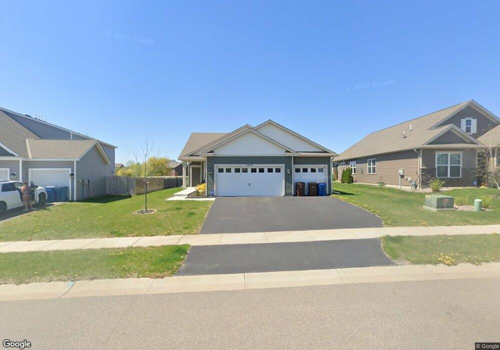
1419 Independence Curve Delano, MN 55328
Estimated Value: $402,472 - $434,000
3
Beds
2
Baths
1,527
Sq Ft
$274/Sq Ft
Est. Value
About This Home
This home is located at 1419 Independence Curve, Delano, MN 55328 and is currently estimated at $418,618, approximately $274 per square foot. 1419 Independence Curve is a home located in Wright County with nearby schools including Delano Elementary School, Delano Middle School, and Delano Senior High School.
Ownership History
Date
Name
Owned For
Owner Type
Purchase Details
Closed on
Aug 12, 2021
Sold by
D R Horton Inc
Bought by
White Ann Marie
Current Estimated Value
Home Financials for this Owner
Home Financials are based on the most recent Mortgage that was taken out on this home.
Original Mortgage
$346,144
Outstanding Balance
$314,752
Interest Rate
2.9%
Mortgage Type
FHA
Estimated Equity
$103,866
Purchase Details
Closed on
Dec 5, 2019
Sold by
Delano Land Development Llc
Bought by
D R Horton Inc
Create a Home Valuation Report for This Property
The Home Valuation Report is an in-depth analysis detailing your home's value as well as a comparison with similar homes in the area
Home Values in the Area
Average Home Value in this Area
Purchase History
| Date | Buyer | Sale Price | Title Company |
|---|---|---|---|
| White Ann Marie | $49,500 | Dhi Title Minnesota | |
| D R Horton Inc | $44,848 | Title Recording Services Inc | |
| White Ann Ann | $352,500 | -- |
Source: Public Records
Mortgage History
| Date | Status | Borrower | Loan Amount |
|---|---|---|---|
| Open | White Ann Marie | $346,144 | |
| Closed | White Ann Ann | $346,144 |
Source: Public Records
Tax History Compared to Growth
Tax History
| Year | Tax Paid | Tax Assessment Tax Assessment Total Assessment is a certain percentage of the fair market value that is determined by local assessors to be the total taxable value of land and additions on the property. | Land | Improvement |
|---|---|---|---|---|
| 2025 | $4,228 | $369,700 | $75,000 | $294,700 |
| 2024 | $4,224 | $361,500 | $79,000 | $282,500 |
| 2023 | $4,070 | $367,800 | $79,000 | $288,800 |
| 2022 | $612 | $327,900 | $78,500 | $249,400 |
| 2021 | $288 | $65,000 | $65,000 | $0 |
| 2020 | $96 | $65,000 | $65,000 | $0 |
Source: Public Records
Map
Nearby Homes
- 367 Garden Dr
- 426 Creek Ave
- 271 Greenway Dr
- 1018 2nd St SW
- 1006 2nd St SW
- 924 Yellowcrest St SW
- 775 Rosebud Ln
- 900 Greywood Blvd SW
- 747 Blackbird Cir
- 736 Blackbird Cir
- 761 Yellowcrest St SW
- 736 Yellowcrest St SW
- 711 Rosebud Ln
- 869 Greywood Blvd SW
- The Somerset Plan at Greywood
- The Crestview Plan at Greywood
- The Augusta Villa Plan at Greywood
- The Sedona Plan at Greywood
- The Washington Plan at Greywood
- The Waterford Plan at Greywood
- 1413 Independence Curve
- 1425 Independence Curve
- 1431 Independence Curve
- 1420 Independence Curve
- 1437 Independence Curve
- 1428 Independence Curve
- 1401 Independence Curve
- 1412 Independence Curve
- 413 Fox Meadow Ct
- 1404 Independence Curve
- 1436 Independence Curve
- 9254 County Road 16 SE
- 1443 Independence Curve
- 423 Fox Meadow Ct
- 1448 Independence Curve
- 422 Fox Meadow Ct
- 1449 Independence Curve
- 398 Liberty Ln
- 1399 Independence Curve
- 1460 Independence Curve