1419 Spike Cove Hernando, MS 38632
Estimated Value: $439,000 - $587,000
4
Beds
--
Bath
3,723
Sq Ft
$136/Sq Ft
Est. Value
About This Home
This home is located at 1419 Spike Cove, Hernando, MS 38632 and is currently estimated at $505,795, approximately $135 per square foot. 1419 Spike Cove is a home located in DeSoto County with nearby schools including Oak Grove Central Elementary School, Hernando Elementary School, and Hernando Hills Elementary.
Ownership History
Date
Name
Owned For
Owner Type
Purchase Details
Closed on
Apr 14, 2020
Sold by
Amminger Ann Mckenzie
Bought by
Mckenzie Ann
Current Estimated Value
Purchase Details
Closed on
Jan 27, 2020
Sold by
Amminger Peter Brian
Bought by
Amminger Ann Mckenzie
Purchase Details
Closed on
Sep 19, 2008
Sold by
Gavrock Angela Lunceford
Bought by
Mckenzie Ann K
Home Financials for this Owner
Home Financials are based on the most recent Mortgage that was taken out on this home.
Original Mortgage
$250,000
Interest Rate
6.49%
Mortgage Type
Purchase Money Mortgage
Create a Home Valuation Report for This Property
The Home Valuation Report is an in-depth analysis detailing your home's value as well as a comparison with similar homes in the area
Home Values in the Area
Average Home Value in this Area
Purchase History
| Date | Buyer | Sale Price | Title Company |
|---|---|---|---|
| Mckenzie Ann | -- | None Available | |
| Amminger Ann Mckenzie | -- | None Available | |
| Mckenzie Ann K | -- | None Available |
Source: Public Records
Mortgage History
| Date | Status | Borrower | Loan Amount |
|---|---|---|---|
| Closed | Mckenzie Ann K | $250,000 |
Source: Public Records
Tax History
| Year | Tax Paid | Tax Assessment Tax Assessment Total Assessment is a certain percentage of the fair market value that is determined by local assessors to be the total taxable value of land and additions on the property. | Land | Improvement |
|---|---|---|---|---|
| 2025 | $1,958 | $30,950 | $3,500 | $27,450 |
| 2024 | $2,345 | $30,950 | $3,500 | $27,450 |
| 2023 | $2,345 | $30,950 | $0 | $0 |
| 2022 | $2,345 | $30,950 | $3,500 | $27,450 |
| 2021 | $2,345 | $30,950 | $3,500 | $27,450 |
| 2020 | $2,345 | $30,950 | $0 | $0 |
| 2019 | $2,345 | $30,950 | $3,500 | $27,450 |
| 2017 | $2,259 | $56,370 | $29,935 | $26,435 |
| 2016 | $2,259 | $29,935 | $3,500 | $26,435 |
| 2015 | $3,014 | $56,370 | $29,935 | $26,435 |
| 2014 | $2,259 | $29,935 | $0 | $0 |
| 2013 | $3,231 | $29,935 | $0 | $0 |
Source: Public Records
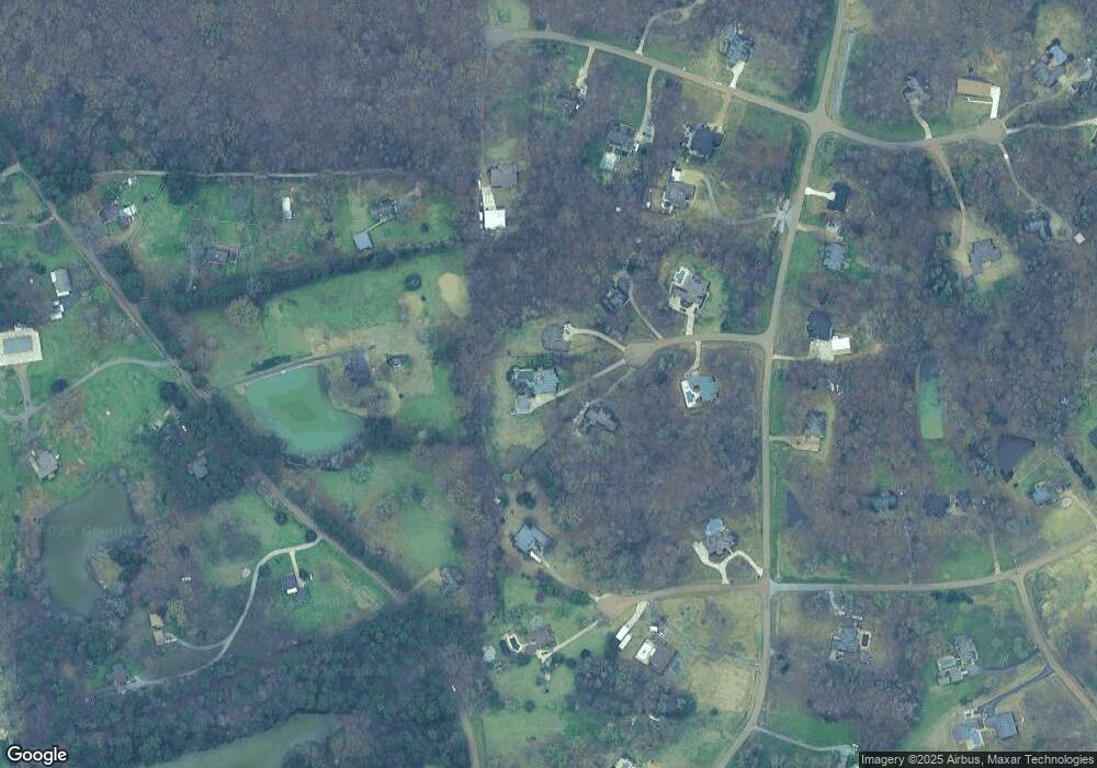
Map
Nearby Homes
- 1209 Flint Lock Cove
- 420 Buck Cove
- 193 Crockett Loop E
- 2288 Wanda Faye Dr
- 2 A & 2 C U S Highway 51
- 00 Hwy 51 N State White Oak St
- 0 Highway 51 N
- 5157 U S 51
- 5163 U S 51
- 5135 U S 51
- 5167 U S 51
- 5093 U S 51
- 1290 Robertson Rd
- 0 S Old Hwy 51 Unit 4105246
- 1107 Sabrina Dr
- 1207 Howell Way
- 521 Abey Ln
- 148 Forked Creek Pkwy
- 67 Shady Lane Cove E
- 112 Forked Creek Pkwy
- 1418 Spike Cove
- 1393 Spike Cove
- 1389 Spike Cove
- 1416 Boone Cove
- 1355 Spike Cove
- 124 Robertson Rd S
- 1354 Spike Cove
- 1481 Flint Lock Dr
- 75 White Tail Dr
- 240 Robertson Rd S
- 139 Whitetail Dr
- 1368 Boone Cove
- 10 Robertson Rd S
- 102 Whitetail Dr N
- 1405 Flint Lock Dr
- 1419 Boone Cove
- 142 Whitetail Dr
- 142 Whitetail Cove
- 94 Whitetail Dr
- 1443 Flint Lock Dr
Your Personal Tour Guide
Ask me questions while you tour the home.