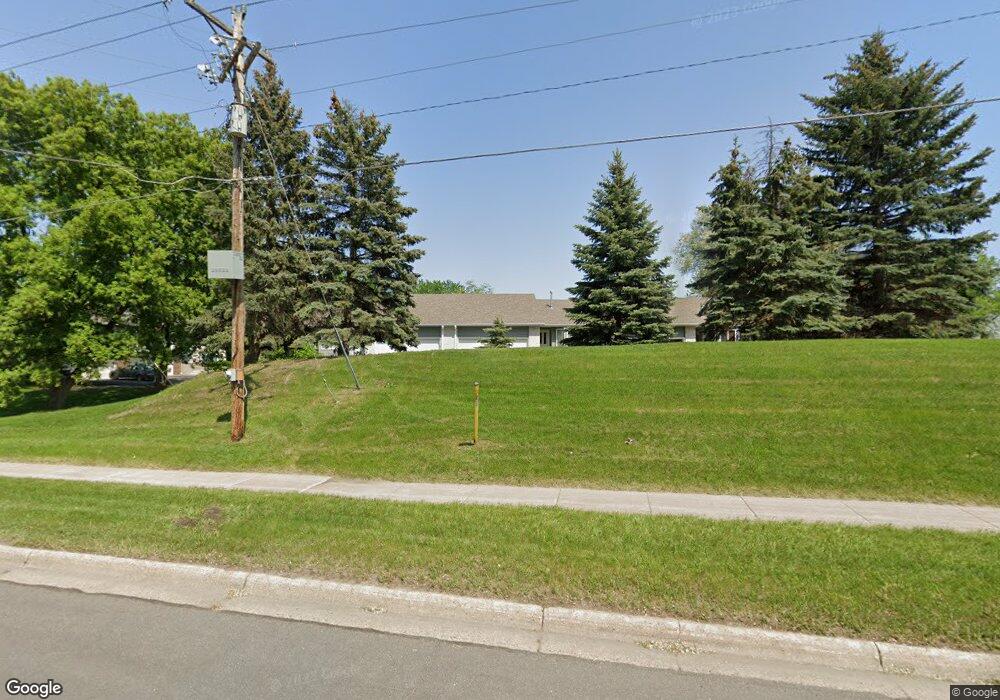
14191 Heywood Path Saint Paul, MN 55124
Alimagnet NeighborhoodEstimated Value: $300,000 - $336,000
3
Beds
2
Baths
1,207
Sq Ft
$262/Sq Ft
Est. Value
About This Home
This home is located at 14191 Heywood Path, Saint Paul, MN 55124 and is currently estimated at $316,619, approximately $262 per square foot. 14191 Heywood Path is a home located in Dakota County with nearby schools including Westview Elementary School, Valley Middle School, and Apple Valley Senior High School.
Ownership History
Date
Name
Owned For
Owner Type
Purchase Details
Closed on
Mar 28, 2016
Sold by
Nutter Patrick H
Bought by
Mackey Vicki and Mackey James
Current Estimated Value
Home Financials for this Owner
Home Financials are based on the most recent Mortgage that was taken out on this home.
Original Mortgage
$8,500
Outstanding Balance
$586
Interest Rate
3.68%
Mortgage Type
Stand Alone Second
Estimated Equity
$316,033
Create a Home Valuation Report for This Property
The Home Valuation Report is an in-depth analysis detailing your home's value as well as a comparison with similar homes in the area
Home Values in the Area
Average Home Value in this Area
Purchase History
| Date | Buyer | Sale Price | Title Company |
|---|---|---|---|
| Mackey Vicki | $190,000 | Title Recording Services |
Source: Public Records
Mortgage History
| Date | Status | Borrower | Loan Amount |
|---|---|---|---|
| Open | Mackey Vicki | $8,500 | |
| Open | Mackey Vicki | $186,558 |
Source: Public Records
Tax History Compared to Growth
Tax History
| Year | Tax Paid | Tax Assessment Tax Assessment Total Assessment is a certain percentage of the fair market value that is determined by local assessors to be the total taxable value of land and additions on the property. | Land | Improvement |
|---|---|---|---|---|
| 2024 | $3,386 | $308,800 | $43,600 | $265,200 |
| 2023 | $3,386 | $305,400 | $42,700 | $262,700 |
| 2022 | $2,868 | $290,800 | $42,600 | $248,200 |
| 2021 | $2,778 | $256,500 | $37,000 | $219,500 |
| 2020 | $2,886 | $244,200 | $35,200 | $209,000 |
| 2019 | $2,581 | $245,600 | $33,600 | $212,000 |
| 2018 | $2,525 | $231,800 | $31,100 | $200,700 |
| 2017 | $2,399 | $218,400 | $28,800 | $189,600 |
| 2016 | $2,329 | $199,400 | $27,400 | $172,000 |
| 2015 | $2,108 | $172,476 | $24,114 | $148,362 |
| 2014 | -- | $156,780 | $21,844 | $134,936 |
| 2013 | -- | $136,397 | $19,094 | $117,303 |
Source: Public Records
Map
Nearby Homes
- 14172 Heywood Path
- 14132 Heywood Path
- 13761 Hollybrook Cir
- 13751 Hollybrook Cir
- 13820 Holyoke Path
- 14208 Heritage Ln
- 13731 Hollybrook Cir
- 13727 Hollybrook Cir
- The Sophia Plan at Eagle Pointe - Townhomes
- The Amelia Plan at Eagle Pointe - Townhomes
- The Magnolia Plan at Eagle Pointe - Townhomes
- The Nolan Plan at Eagle Pointe - Townhomes
- 451 Reflection Rd
- 13613 Hollybrook Dr
- 8681 144th Street Ct
- 13609 Hollybrook Dr
- 13599 Hollybrook Dr
- 13591 Hollybrook Way
- 14080 Guthrie Ave
- 441 Walnut Ln
- 14189 Heywood Path
- 14193 Heywood Path
- 14103 Heywood Path
- 14105 Heywood Path
- 14101 Heywood Path
- 14047 Heywood Path
- 14045 Heywood Path
- 14184 Heywood Path
- 14043 Heywood Path
- 14041 Heywood Path
- 14180 Heywood Path
- 14188 Heywood Path
- 14104 Heywood Path
- 14108 Heywood Path
- 14100 Heywood Path
- 14176 Heywood Path
- 14112 Heywood Path
- 14094 Heywood Path
- 14090 Heywood Path
- 14192 Heywood Path