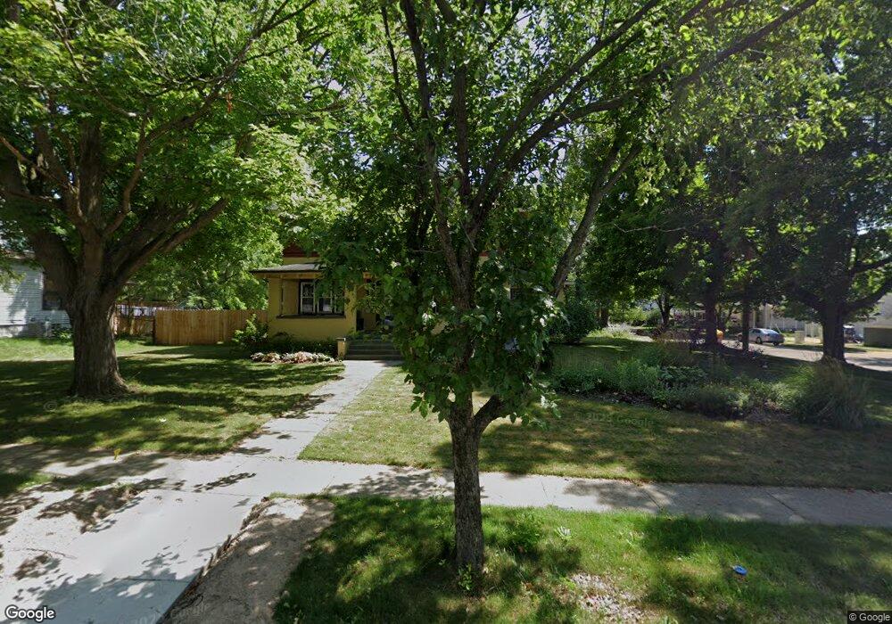
142 E Division St Rockford, MI 49341
Estimated Value: $448,000 - $462,000
4
Beds
2
Baths
2,126
Sq Ft
$214/Sq Ft
Est. Value
About This Home
This home is located at 142 E Division St, Rockford, MI 49341 and is currently estimated at $454,088, approximately $213 per square foot. 142 E Division St is a home located in Kent County with nearby schools including Meadow Ridge Elementary School, North Rockford Middle School, and Rockford High School Freshman Center.
Ownership History
Date
Name
Owned For
Owner Type
Purchase Details
Closed on
Nov 5, 2025
Sold by
Proulx Michael and Anderson Katherine
Bought by
Diebold Elisabeth and Diebold Adam
Current Estimated Value
Home Financials for this Owner
Home Financials are based on the most recent Mortgage that was taken out on this home.
Original Mortgage
$432,250
Outstanding Balance
$432,250
Interest Rate
6.34%
Mortgage Type
New Conventional
Estimated Equity
$21,838
Purchase Details
Closed on
Mar 24, 2025
Sold by
Schroder Rick D and Schroder Gayle H
Bought by
Proulx Michael and Anderson Katherine
Home Financials for this Owner
Home Financials are based on the most recent Mortgage that was taken out on this home.
Original Mortgage
$318,750
Interest Rate
6.87%
Mortgage Type
New Conventional
Purchase Details
Closed on
Aug 5, 2005
Sold by
Hosmer Garry and Hosmer Deb
Bought by
T O B Llc
Home Financials for this Owner
Home Financials are based on the most recent Mortgage that was taken out on this home.
Original Mortgage
$100,000
Interest Rate
5.69%
Mortgage Type
Purchase Money Mortgage
Purchase Details
Closed on
Jun 12, 1998
Sold by
Hill James M
Bought by
Schroder Rick D and Schroder Rick D
Create a Home Valuation Report for This Property
The Home Valuation Report is an in-depth analysis detailing your home's value as well as a comparison with similar homes in the area
Home Values in the Area
Average Home Value in this Area
Purchase History
| Date | Buyer | Sale Price | Title Company |
|---|---|---|---|
| Diebold Elisabeth | $455,000 | Sun Title | |
| Proulx Michael | $425,000 | Chicago Title | |
| T O B Llc | $115,000 | Transnation Title Ins Co | |
| Schroder Rick D | $160,000 | -- |
Source: Public Records
Mortgage History
| Date | Status | Borrower | Loan Amount |
|---|---|---|---|
| Open | Diebold Elisabeth | $432,250 | |
| Previous Owner | Proulx Michael | $318,750 | |
| Previous Owner | T O B Llc | $100,000 |
Source: Public Records
Tax History
| Year | Tax Paid | Tax Assessment Tax Assessment Total Assessment is a certain percentage of the fair market value that is determined by local assessors to be the total taxable value of land and additions on the property. | Land | Improvement |
|---|---|---|---|---|
| 2025 | $3,996 | $239,900 | $0 | $0 |
| 2024 | $40 | $207,400 | $0 | $0 |
| 2023 | $3,817 | $206,800 | $0 | $0 |
| 2022 | $4,417 | $165,300 | $0 | $0 |
| 2021 | $4,295 | $145,400 | $0 | $0 |
| 2020 | $3,498 | $134,100 | $0 | $0 |
| 2019 | $4,185 | $120,700 | $0 | $0 |
| 2018 | $4,193 | $110,200 | $0 | $0 |
| 2017 | $4,088 | $104,900 | $0 | $0 |
| 2016 | $3,784 | $97,100 | $0 | $0 |
| 2015 | -- | $97,100 | $0 | $0 |
| 2013 | -- | $90,700 | $0 | $0 |
Source: Public Records
Map
Nearby Homes
- 126 N Monroe St
- 144 Tamarack Ln NE Unit 1B
- 145 Rollingwood Dr
- 177 Prospect St
- 182 Hunters Ln NE Unit 56
- 206 Hunters Ln NE Unit 30
- 321 Adolph Ave
- 4916 Castle Hill Ct NE
- 69 Rogue River View Dr NE
- 78 Rockview Dr NE
- 237 Young Ct
- Unit 79 Rose Ridge Dr NE
- 675 Elstar Dr NE
- 663 Orchard Ct NE
- 3155 House St NE
- 3459 Wolven Ridge Dr
- 7384 Rezen Dr NE
- 4341 Kroes St NE
- 5700 Kies St NE
- 211 Rockford Park Dr NE Unit 1
- 150 E Division St NE
- 150 E Division St
- 118 S Monroe St
- 126 E Division St
- 156 E Division St
- 156 E Division St NE
- 139 E Division St
- 149 E Division St NE
- 162 E Division St NE
- 145 E Division St
- 120 E Division St
- 109 S Monroe St
- 132 S Monroe St
- 162 E Division St
- 66 S Monroe St NE
- 149 E Division St
- 119 S Monroe St
- 66 S Monroe St
- 114 E Division St
- 62 S Monroe St
Your Personal Tour Guide
Ask me questions while you tour the home.