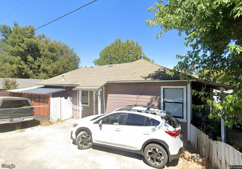
142 Franklin Ave Willits, CA 95490
Estimated Value: $279,122 - $314,000
Studio
--
Bath
--
Sq Ft
5,184
Sq Ft Lot
About This Home
This home is located at 142 Franklin Ave, Willits, CA 95490 and is currently estimated at $293,781. 142 Franklin Ave is a home located in Mendocino County with nearby schools including Blosser Lane Elementary School, Brookside Elementary School, and Baechtel Grove Middle School.
Ownership History
Date
Name
Owned For
Owner Type
Purchase Details
Closed on
Sep 15, 2010
Sold by
Hutton Bruce Browning and Hutton Dina Davis
Bought by
Haro Rigoberto and Sierra Leticia
Current Estimated Value
Home Financials for this Owner
Home Financials are based on the most recent Mortgage that was taken out on this home.
Original Mortgage
$95,000
Outstanding Balance
$62,444
Interest Rate
4.35%
Mortgage Type
Seller Take Back
Estimated Equity
$231,337
Purchase Details
Closed on
Apr 8, 2003
Sold by
Hutton Bruce Browning and Hutton Dina Davis
Bought by
Hutton Bruce Browning and Hutton Dina Davis
Create a Home Valuation Report for This Property
The Home Valuation Report is an in-depth analysis detailing your home's value as well as a comparison with similar homes in the area
Home Values in the Area
Average Home Value in this Area
Purchase History
| Date | Buyer | Sale Price | Title Company |
|---|---|---|---|
| Haro Rigoberto | $95,000 | First American Title Company | |
| Hutton Bruce Browning | -- | -- | |
| Hutton Bruce Browning | -- | -- |
Source: Public Records
Mortgage History
| Date | Status | Borrower | Loan Amount |
|---|---|---|---|
| Open | Haro Rigoberto | $95,000 |
Source: Public Records
Tax History
| Year | Tax Paid | Tax Assessment Tax Assessment Total Assessment is a certain percentage of the fair market value that is determined by local assessors to be the total taxable value of land and additions on the property. | Land | Improvement |
|---|---|---|---|---|
| 2025 | $2,791 | $155,563 | $64,052 | $91,511 |
| 2023 | $2,791 | $149,524 | $61,566 | $87,958 |
| 2022 | $2,583 | $146,593 | $60,359 | $86,234 |
| 2021 | $2,570 | $143,720 | $59,176 | $84,544 |
| 2020 | $2,528 | $142,250 | $58,572 | $83,678 |
| 2019 | $2,525 | $139,462 | $57,424 | $82,038 |
| 2018 | $2,352 | $136,728 | $56,298 | $80,430 |
| 2017 | $2,264 | $134,048 | $55,195 | $78,853 |
| 2016 | $2,200 | $131,420 | $54,113 | $77,307 |
| 2015 | $2,175 | $129,447 | $53,300 | $76,147 |
| 2014 | $2,156 | $126,911 | $52,256 | $74,655 |
Source: Public Records
Map
Nearby Homes
- 0 Poplar Ave Unit 324037613
- 1242 Poplar Ave
- 454 Della Ave
- 490 Della Ave
- 1051 S Main St
- 316 S Main St
- 308 Coast St
- 21441 Pineview Dr
- 0 Catherine Ln
- 84 School St
- 372 S Lenore Ave
- 1407 Brothers Ln
- 350 Creekside Dr
- 1581 S Main St
- 25331 Sherwood Rd
- 25201 Sherwood Rd
- 1750 S Main St Unit 37
- 1700 California 20
- 252 Margie Dr
- 1800 California 20
- 134 Franklin Ave
- 320 Franklin Ave
- 120 Franklin Ave
- 151 Franklin Ave
- 154 Franklin Ave
- 108 Franklin Ave
- 134 Fort Bragg Rd
- 36 Franklin Ave
- 179 Franklin Ave
- 192 Franklin Ave
- 143 Franklin Ave
- 148 Fort Bragg Rd
- 103 Franklin Ave Unit B
- 118 Fort Bragg Rd
- 106 Fort Bragg Rd
- 196 Franklin Ave
- 88 Franklin Ave
- 0 Fort Bragg Rd Unit 21919547
- 0 Fort Bragg Rd Unit 21919545
- 0 Fort Bragg Rd Unit 21202901
Your Personal Tour Guide
Ask me questions while you tour the home.