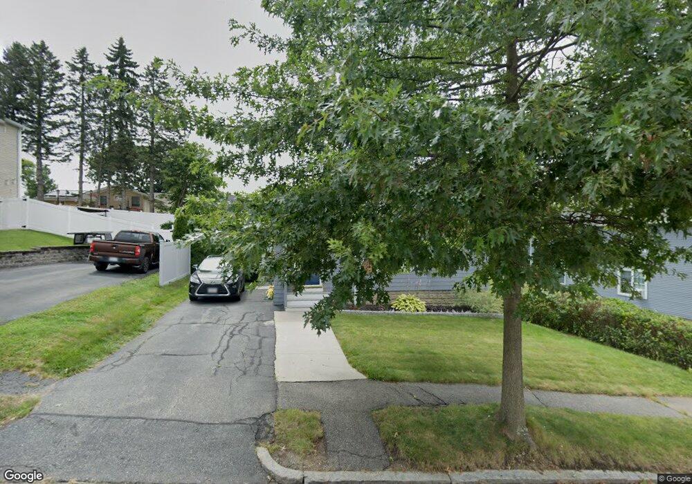
142 King Philip Rd Worcester, MA 01606
Greendale NeighborhoodEstimated Value: $373,213 - $439,000
2
Beds
2
Baths
1,260
Sq Ft
$331/Sq Ft
Est. Value
About This Home
This home is located at 142 King Philip Rd, Worcester, MA 01606 and is currently estimated at $416,553, approximately $330 per square foot. 142 King Philip Rd is a home located in Worcester County with nearby schools including Jacob Hiatt Magnet School, Chandler Magnet, and Thorndyke Road School.
Ownership History
Date
Name
Owned For
Owner Type
Purchase Details
Closed on
Nov 19, 2018
Sold by
Lynch Mark W
Bought by
Lynch Ft
Current Estimated Value
Purchase Details
Closed on
Jun 28, 2000
Sold by
Deblinger Robert D
Bought by
Lynch Mark W
Home Financials for this Owner
Home Financials are based on the most recent Mortgage that was taken out on this home.
Original Mortgage
$116,375
Interest Rate
8.59%
Mortgage Type
Purchase Money Mortgage
Purchase Details
Closed on
Aug 20, 1997
Sold by
Department Of Housing & Urban Dev
Bought by
Deblinger Robert D
Home Financials for this Owner
Home Financials are based on the most recent Mortgage that was taken out on this home.
Original Mortgage
$65,892
Interest Rate
7.42%
Mortgage Type
Purchase Money Mortgage
Purchase Details
Closed on
Jun 6, 1997
Sold by
Long Jill E and Roosevelt Bank
Bought by
Department Of Housing & Urban Dev
Purchase Details
Closed on
Apr 25, 1989
Sold by
Hirtle Lloyd
Bought by
Long Peter G
Home Financials for this Owner
Home Financials are based on the most recent Mortgage that was taken out on this home.
Original Mortgage
$105,097
Interest Rate
10.79%
Mortgage Type
Purchase Money Mortgage
Create a Home Valuation Report for This Property
The Home Valuation Report is an in-depth analysis detailing your home's value as well as a comparison with similar homes in the area
Home Values in the Area
Average Home Value in this Area
Purchase History
| Date | Buyer | Sale Price | Title Company |
|---|---|---|---|
| Lynch Ft | -- | -- | |
| Lynch Mark W | $122,500 | -- | |
| Deblinger Robert D | $68,000 | -- | |
| Department Of Housing & Urban Dev | $116,710 | -- | |
| Long Peter G | $105,000 | -- |
Source: Public Records
Mortgage History
| Date | Status | Borrower | Loan Amount |
|---|---|---|---|
| Previous Owner | Long Peter G | $116,375 | |
| Previous Owner | Long Peter G | $65,892 | |
| Previous Owner | Long Peter G | $105,097 |
Source: Public Records
Tax History
| Year | Tax Paid | Tax Assessment Tax Assessment Total Assessment is a certain percentage of the fair market value that is determined by local assessors to be the total taxable value of land and additions on the property. | Land | Improvement |
|---|---|---|---|---|
| 2025 | $4,023 | $305,000 | $95,300 | $209,700 |
| 2024 | $3,934 | $286,100 | $95,300 | $190,800 |
| 2023 | $3,783 | $263,800 | $82,900 | $180,900 |
| 2022 | $3,456 | $227,200 | $66,300 | $160,900 |
| 2021 | $3,339 | $205,100 | $53,100 | $152,000 |
| 2020 | $3,264 | $192,000 | $53,000 | $139,000 |
| 2019 | $3,082 | $171,200 | $47,700 | $123,500 |
| 2018 | $3,065 | $162,100 | $47,700 | $114,400 |
| 2017 | $2,962 | $154,100 | $47,700 | $106,400 |
| 2016 | $2,955 | $143,400 | $35,500 | $107,900 |
| 2015 | $2,878 | $143,400 | $35,500 | $107,900 |
| 2014 | $2,802 | $143,400 | $35,500 | $107,900 |
Source: Public Records
Map
Nearby Homes
- 183 King Philip Rd
- 39 Whitmarsh Ave
- 15 Ericsson St
- 323 Burncoat St
- 55 Clark St
- 331 Burncoat St
- 30 Fales St
- 66 Eunice Ave
- 58 Osceola Ave
- 30 Danielles Way
- 37 Kenwood Ave
- 3205 Halcyon Dr Unit 3205
- 44 Boardman St
- 45 Goldthwaite Rd
- 35 Arbutus Rd
- 13 Fatima Ln
- 30 Melrose St
- 37 Mohave Rd
- 41 Mohave Rd
- 9 Watt Rd
- 150 King Philip Rd
- 140 King Philip Rd
- 140 King Philip Rd Unit 2
- 85 Kalmar St
- 91 Kalmar St
- 77 Kalmar St
- 149 King Philip Rd
- 145 King Philip Rd
- 158 King Philip Rd
- 138 King Philip Rd
- 141 King Philip Rd
- 155 King Philip Rd
- 137 King Philip Rd
- 101 Kalmar St
- 3 Mellor Ave
- 3 Mellor Ave Unit 2
- 1 Mellor Ave
- 159 King Philip Rd
- 84 Kalmar St
- 162 King Philip Rd
Your Personal Tour Guide
Ask me questions while you tour the home.