Estimated Value: $731,000
1
Bed
1
Bath
500
Sq Ft
$1,462/Sq Ft
Est. Value
About This Home
This home is located at 142 Parson Point Rd, Acton, ME 04001 and is currently estimated at $731,000, approximately $1,462 per square foot. 142 Parson Point Rd is a home located in York County with nearby schools including Acton Elementary School.
Ownership History
Date
Name
Owned For
Owner Type
Purchase Details
Closed on
Jul 26, 2017
Sold by
Denley Susan E
Bought by
Goulet James F and Goulet Lisa J
Current Estimated Value
Create a Home Valuation Report for This Property
The Home Valuation Report is an in-depth analysis detailing your home's value as well as a comparison with similar homes in the area
Home Values in the Area
Average Home Value in this Area
Purchase History
| Date | Buyer | Sale Price | Title Company |
|---|---|---|---|
| Goulet James F | -- | -- | |
| Goulet James F | -- | -- | |
| Goulet James F | -- | -- |
Source: Public Records
Tax History
| Year | Tax Paid | Tax Assessment Tax Assessment Total Assessment is a certain percentage of the fair market value that is determined by local assessors to be the total taxable value of land and additions on the property. | Land | Improvement |
|---|---|---|---|---|
| 2025 | $3,928 | $544,733 | $499,500 | $45,233 |
| 2024 | $3,851 | $544,733 | $499,500 | $45,233 |
| 2023 | $3,514 | $544,733 | $499,500 | $45,233 |
| 2022 | $2,700 | $225,911 | $196,266 | $29,645 |
| 2021 | $2,700 | $225,911 | $196,266 | $29,645 |
| 2020 | $2,722 | $225,911 | $196,266 | $29,645 |
| 2019 | $2,722 | $225,911 | $196,266 | $29,645 |
| 2018 | $2,326 | $225,911 | $196,266 | $29,645 |
| 2017 | $2,688 | $225,911 | $196,266 | $29,645 |
| 2016 | $2,541 | $225,911 | $196,266 | $29,645 |
| 2015 | $2,609 | $225,911 | $196,266 | $29,645 |
| 2014 | $2,508 | $225,911 | $196,266 | $29,645 |
Source: Public Records
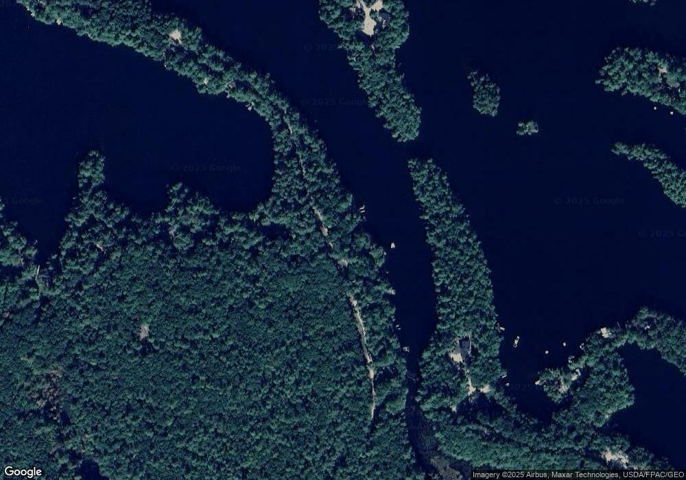
Map
Nearby Homes
- 271 Red Gate Ln
- 163 Buzzell Rd
- 1498 W Shore Dr
- Lot 11 Ridge Way
- Lot 13 Ridge Way
- 2620 Maine 109
- Lot 5 St Laurent Way
- 367 Shady Nook Rd
- 59 Main St
- 281 Gile Rd
- 00 Racoon Rd
- 16 Mann Rd
- M43 L6 Shady Nook Rd
- 233 Cedar Dr
- 182 Hopper Rd
- 57 Plantation Way
- 59 Treasure Island Rd
- 46 Plantation Way
- 45 Morrison Ln
- 189 Hopper Rd
- 264 Parson Point Rd
- 264 Parsons Point Rd
- 150 Parson's Point Rd
- 132 Parsons Point Rd
- 291 Parsons Point Rd
- 142 Point Rd
- 132 Point Rd
- 150 Parson Point Rd
- 150 Point Rd
- 44 Livingston Goodwin Rd
- 8&9 Red Gate Ln
- 92 Point Rd
- 194 Parsons Point Rd
- 8 & 9 Red Gate Lane Extension
- 60 Livingston-Goodwin Rd
- 68 Point Rd
- 225 Point Rd
- 233 Parsons Point Rd
- 230 Parson Point Rd
- 230 Point Rd
Your Personal Tour Guide
Ask me questions while you tour the home.