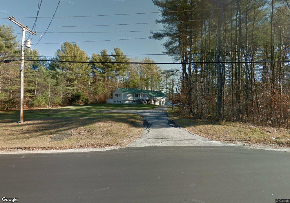
142 Route 16b Center Ossipee, NH 03814
Estimated Value: $412,000 - $552,000
3
Beds
2
Baths
2,088
Sq Ft
$235/Sq Ft
Est. Value
About This Home
This home is located at 142 Route 16b, Center Ossipee, NH 03814 and is currently estimated at $489,800, approximately $234 per square foot. 142 Route 16b is a home with nearby schools including Ossipee Central School, Kingswood Regional Middle School, and Kingswood Regional High School.
Ownership History
Date
Name
Owned For
Owner Type
Purchase Details
Closed on
Jun 16, 2006
Sold by
Davenport Jean Leanne
Bought by
Osullivan Charles H
Current Estimated Value
Home Financials for this Owner
Home Financials are based on the most recent Mortgage that was taken out on this home.
Original Mortgage
$122,734
Outstanding Balance
$72,359
Interest Rate
6.62%
Mortgage Type
Purchase Money Mortgage
Estimated Equity
$417,441
Create a Home Valuation Report for This Property
The Home Valuation Report is an in-depth analysis detailing your home's value as well as a comparison with similar homes in the area
Home Values in the Area
Average Home Value in this Area
Purchase History
| Date | Buyer | Sale Price | Title Company |
|---|---|---|---|
| Osullivan Charles H | $70,000 | -- |
Source: Public Records
Mortgage History
| Date | Status | Borrower | Loan Amount |
|---|---|---|---|
| Open | Osullivan Charles H | $122,734 |
Source: Public Records
Tax History Compared to Growth
Tax History
| Year | Tax Paid | Tax Assessment Tax Assessment Total Assessment is a certain percentage of the fair market value that is determined by local assessors to be the total taxable value of land and additions on the property. | Land | Improvement |
|---|---|---|---|---|
| 2024 | $4,722 | $407,100 | $137,700 | $269,400 |
| 2023 | $4,222 | $407,100 | $137,700 | $269,400 |
| 2022 | $3,516 | $191,300 | $29,700 | $161,600 |
| 2021 | $3,507 | $191,300 | $29,700 | $161,600 |
| 2020 | $3,262 | $191,300 | $29,700 | $161,600 |
| 2019 | $3,273 | $191,300 | $29,700 | $161,600 |
| 2018 | $3,299 | $158,600 | $23,600 | $135,000 |
| 2016 | $3,042 | $157,600 | $23,600 | $134,000 |
| 2015 | $2,889 | $157,600 | $23,600 | $134,000 |
| 2014 | $3,370 | $187,000 | $31,600 | $155,400 |
| 2013 | $3,252 | $187,000 | $31,600 | $155,400 |
Source: Public Records
Map
Nearby Homes
- 14 Folsom Rd
- 10 Dore St
- 16 Dore St
- 61 Nh Route 16b
- 56 Bluffs Blvd
- 7 Scotch Pine Ln
- 55 Pine River Rd
- 28 Beech River Cir
- 12 Circle Rd
- 88 Chickville Rd
- 13 Benson Rd
- 60 Blake Hill Rd
- 00 Thurley Rd Unit 29-4
- 00 Thurley Rd Unit 29-5
- 1185 Route 16
- 1800 Route 16
- 27 Sugar Loaf Dr
- 12 Sugar Loaf Dr
- 8 Sugar Loaf Dr
- 9 Sugar Loaf Dr
- 142 New Hampshire 16b
- 111 New Hampshire 16b
- 45 New Hampshire 16b
- 140 New Hampshire 16b
- 149 Nh Route 16b
- 140 Route 16b
- 147 Route 16b
- 149 Route 16b
- 147 New Hampshire 16b
- 136 Route 16b
- 145 Nh Route 16b
- 143 Route 16b
- 2 Staag Dr
- 2 Colgate Dr
- 130 Route 16b
- 5 Staag Dr
- 46 Folsom Rd
- 46 Folsom Rd
- 00 New Hampshire 16b
- 0 Route 16b Unit Map 80, Lot 4