142 The Channel Way Brewster, MA 02631
Estimated Value: $1,695,000 - $2,263,000
5
Beds
2
Baths
3,701
Sq Ft
$519/Sq Ft
Est. Value
About This Home
This home is located at 142 The Channel Way, Brewster, MA 02631 and is currently estimated at $1,922,129, approximately $519 per square foot. 142 The Channel Way is a home located in Barnstable County with nearby schools including Stony Brook Elementary School, Eddy Elementary School, and Nauset Regional Middle School.
Ownership History
Date
Name
Owned For
Owner Type
Purchase Details
Closed on
Nov 17, 2003
Sold by
Ambrose Frederic C and Ambrose Nancy
Bought by
Crowe Ian S and Crowe Yvonne Ruth
Current Estimated Value
Home Financials for this Owner
Home Financials are based on the most recent Mortgage that was taken out on this home.
Original Mortgage
$75,000
Outstanding Balance
$34,855
Interest Rate
6.15%
Estimated Equity
$1,887,274
Purchase Details
Closed on
Nov 13, 1992
Sold by
Koch Barbara N
Bought by
Greene Susan E
Create a Home Valuation Report for This Property
The Home Valuation Report is an in-depth analysis detailing your home's value as well as a comparison with similar homes in the area
Home Values in the Area
Average Home Value in this Area
Purchase History
| Date | Buyer | Sale Price | Title Company |
|---|---|---|---|
| Crowe Ian S | $975,000 | -- | |
| Greene Susan E | $180,000 | -- |
Source: Public Records
Mortgage History
| Date | Status | Borrower | Loan Amount |
|---|---|---|---|
| Open | Greene Susan E | $75,000 | |
| Previous Owner | Greene Susan E | $300,700 | |
| Previous Owner | Greene Susan E | $262,000 | |
| Previous Owner | Greene Susan E | $262,000 |
Source: Public Records
Tax History Compared to Growth
Tax History
| Year | Tax Paid | Tax Assessment Tax Assessment Total Assessment is a certain percentage of the fair market value that is determined by local assessors to be the total taxable value of land and additions on the property. | Land | Improvement |
|---|---|---|---|---|
| 2025 | $11,679 | $1,697,600 | $859,300 | $838,300 |
| 2024 | $10,912 | $1,602,400 | $810,700 | $791,700 |
| 2023 | $10,070 | $1,440,700 | $723,600 | $717,100 |
| 2022 | $9,444 | $1,203,100 | $602,900 | $600,200 |
| 2021 | $8,034 | $936,400 | $389,300 | $547,100 |
| 2020 | $7,840 | $909,500 | $389,300 | $520,200 |
| 2019 | $7,569 | $882,200 | $374,500 | $507,700 |
| 2018 | $7,126 | $862,700 | $374,500 | $488,200 |
| 2017 | $7,033 | $838,300 | $374,500 | $463,800 |
| 2016 | $6,932 | $822,300 | $367,200 | $455,100 |
| 2015 | $6,687 | $809,600 | $359,900 | $449,700 |
Source: Public Records
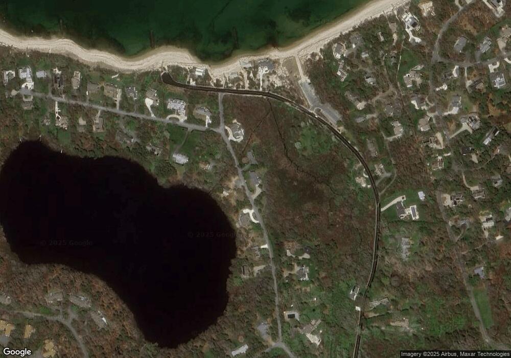
Map
Nearby Homes
- 18 Juniper Cir
- 11 Juniper Cir
- 1861 Main St
- 35 Bradford Rd
- 20 Skipjack Way
- 1580 Main St
- 232 Robbins Hill Rd
- 240 Robbins Hill Rd
- 167 Ambergris Cir
- 85 Yankee Dr
- 41 Great Oak Rd
- 104 Sachemus Trail Unit 104
- 42 Landing Ln Unit 42
- 1424 Main St
- 16 Woodview Dr Unit 16
- 602 Tubman Rd
- 126 Bittersweet Dr
- 53 Brier Ln
- 20 Spring Ln
- 145 The Channel Way
- 123 The Channel Way
- 154 The Channel Way
- 75 The Channel Way
- 0 The Channel Way
- 165 The Channel Way
- 96 The Channel Way
- 101 The Channel Way
- 170 The Channel Way
- 219 Breakwater Rd
- 93 The Channel Way
- 19 Governor Prence Rd
- 90 The Channel Way
- 12 Governor Prence Rd
- 187 Breakwater Rd
- 33 Governor Prence Rd
- 268 Breakwater Rd
- 200 Breakwater Rd
- 30 Governor Prence Rd
- 186 Breakwater Rd