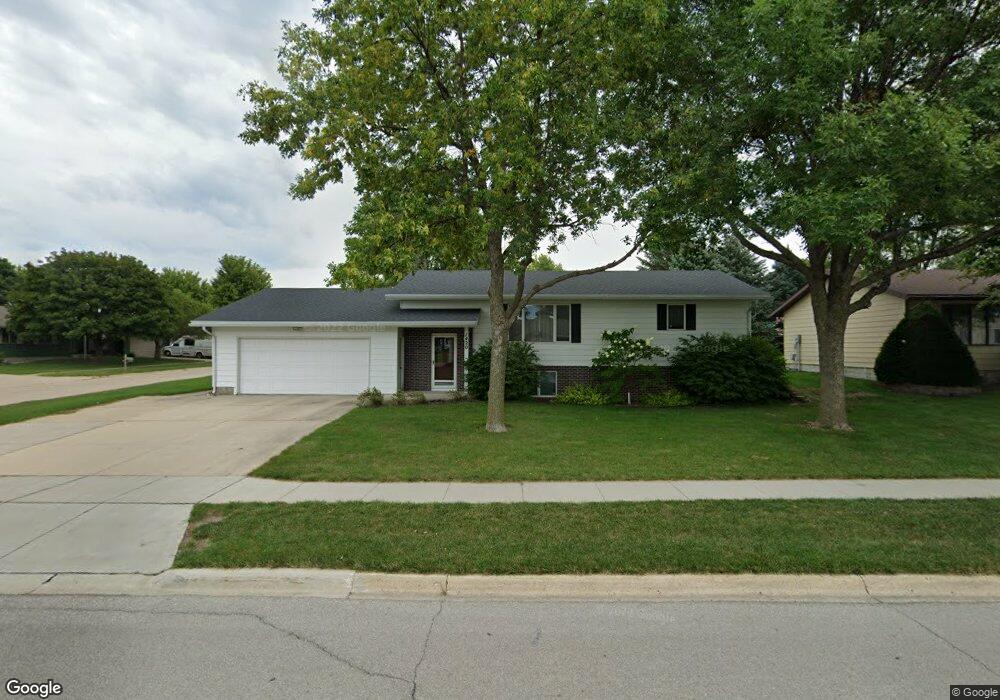
1420 High Ridge Rd Carroll, IA 51401
Estimated Value: $266,000 - $288,000
2
Beds
2
Baths
1,232
Sq Ft
$224/Sq Ft
Est. Value
About This Home
This home is located at 1420 High Ridge Rd, Carroll, IA 51401 and is currently estimated at $275,441, approximately $223 per square foot. 1420 High Ridge Rd is a home with nearby schools including Fairview Elementary School, Adams Elementary School, and Carroll Middle School.
Ownership History
Date
Name
Owned For
Owner Type
Purchase Details
Closed on
Sep 21, 2021
Sold by
Olberding Jemma Kay
Bought by
Olberding Larry D
Current Estimated Value
Purchase Details
Closed on
Mar 10, 2006
Sold by
Pluckhahn John F and Pluckhahn Jean
Bought by
Olberding Larry D and Olberding Jemma Kay
Create a Home Valuation Report for This Property
The Home Valuation Report is an in-depth analysis detailing your home's value as well as a comparison with similar homes in the area
Home Values in the Area
Average Home Value in this Area
Purchase History
| Date | Buyer | Sale Price | Title Company |
|---|---|---|---|
| Olberding Larry D | -- | None Available | |
| Olberding Larry D | $190,000 | None Available |
Source: Public Records
Tax History Compared to Growth
Tax History
| Year | Tax Paid | Tax Assessment Tax Assessment Total Assessment is a certain percentage of the fair market value that is determined by local assessors to be the total taxable value of land and additions on the property. | Land | Improvement |
|---|---|---|---|---|
| 2025 | $2,780 | $251,230 | $34,220 | $217,010 |
| 2024 | $2,780 | $226,650 | $34,220 | $192,430 |
| 2023 | $3,047 | $226,650 | $34,220 | $192,430 |
| 2022 | $2,890 | $208,340 | $29,940 | $178,400 |
| 2021 | $2,890 | $208,340 | $29,940 | $178,400 |
| 2020 | $2,960 | $208,340 | $29,940 | $178,400 |
| 2019 | $2,858 | $208,340 | $29,940 | $178,400 |
| 2018 | $2,690 | $208,340 | $29,940 | $178,400 |
| 2017 | $2,682 | $196,441 | $25,166 | $171,275 |
| 2016 | $2,504 | $183,590 | $0 | $0 |
| 2015 | $2,504 | $176,920 | $0 | $0 |
| 2014 | $2,380 | $176,920 | $0 | $0 |
Source: Public Records
Map
Nearby Homes
- 638 Capistrano Ave
- 1550 Edgewood Dr
- 1620 Edgewood Dr
- 621 Alta Vista Dr
- 746 Granada Rd
- 1137 High Ridge Rd
- 1068 Amy Ave
- 1102 Skyline Dr
- 1022 Skyline Dr
- 260 Bass St
- 1399 E 11th St
- 1401 E 11th St
- 265 Perch St
- 1037 Bella Vista Dr
- 222 Bass St
- 1407 E 10th St
- 1409 E 10th St
- 1206 Woodland Dr
- 903 Amy Cir
- 1505 E 10th St
- 1419 Amy Ave
- 824 Capistrano Ave
- 905 Capistrano Ave
- 1411 Amy Ave
- 1404 High Ridge Rd
- 1409 High Ridge Rd
- 915 Capistrano Ave
- 823 Capistrano Ave
- 816 Capistrano Ave
- 1405 Amy Ave
- 1326 High Ridge Rd
- 921 Capistrano Ave
- 817 Capistrano Ave
- 817 San Salvador Ave
- 1001 Capistrano Ave
- 1327 Amy Ave
- 810 Capistrano Ave
- 1420 Amy Ave
- 0 San Salvador Ave
- 1412 Amy Ave