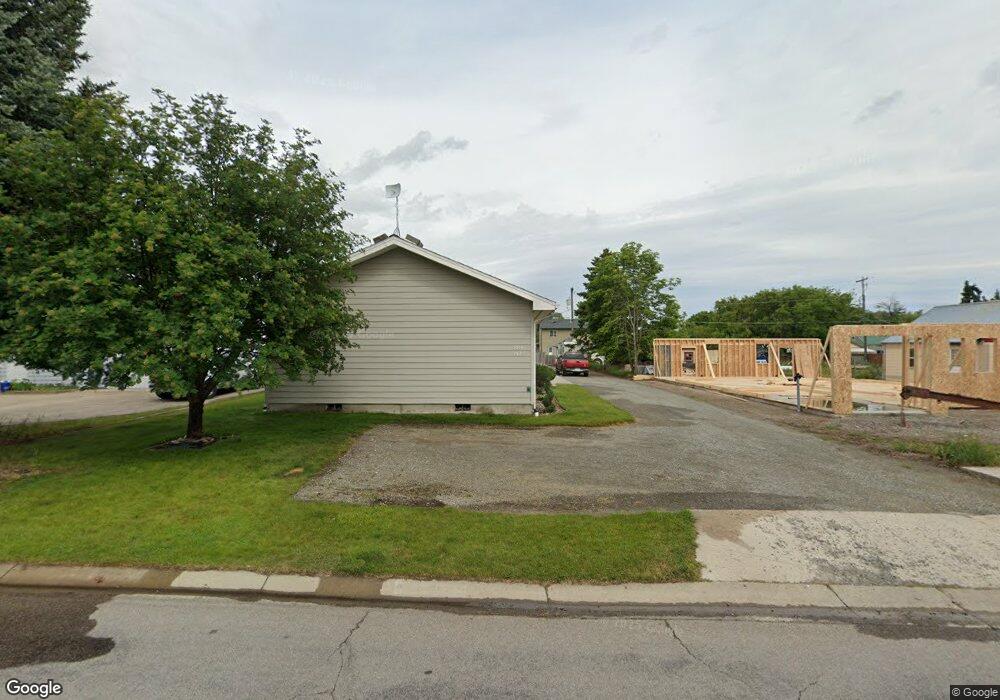
1421 7th Ave W Kalispell, MT 59901
Estimated Value: $393,735 - $589,000
6
Beds
4
Baths
1,872
Sq Ft
$258/Sq Ft
Est. Value
About This Home
This home is located at 1421 7th Ave W, Kalispell, MT 59901 and is currently estimated at $482,184, approximately $257 per square foot. 1421 7th Ave W is a home located in Flathead County with nearby schools including Lillian Peterson School, Kalispell Middle School, and Flathead High School.
Ownership History
Date
Name
Owned For
Owner Type
Purchase Details
Closed on
Oct 9, 2025
Sold by
Michael A Tronstad Trust and Tronstad Michael A
Bought by
Waatti Matthew and Equity Trust
Current Estimated Value
Home Financials for this Owner
Home Financials are based on the most recent Mortgage that was taken out on this home.
Original Mortgage
$315,000
Outstanding Balance
$315,000
Interest Rate
6.5%
Mortgage Type
Seller Take Back
Estimated Equity
$167,184
Purchase Details
Closed on
Mar 19, 2018
Sold by
Tronstad Micahel A and Victoria M Tronstad Trust
Bought by
Tronstad Michael A and Michael A Tronstad Trust
Create a Home Valuation Report for This Property
The Home Valuation Report is an in-depth analysis detailing your home's value as well as a comparison with similar homes in the area
Purchase History
| Date | Buyer | Sale Price | Title Company |
|---|---|---|---|
| Waatti Matthew | -- | Insured Titles | |
| Tronstad Michael A | -- | None Available |
Source: Public Records
Mortgage History
| Date | Status | Borrower | Loan Amount |
|---|---|---|---|
| Open | Waatti Matthew | $315,000 |
Source: Public Records
Tax History
| Year | Tax Paid | Tax Assessment Tax Assessment Total Assessment is a certain percentage of the fair market value that is determined by local assessors to be the total taxable value of land and additions on the property. | Land | Improvement |
|---|---|---|---|---|
| 2025 | $1,889 | $393,100 | $0 | $0 |
| 2024 | $3,048 | $391,300 | $0 | $0 |
| 2023 | $3,818 | $391,300 | $0 | $0 |
| 2022 | $2,342 | $233,200 | $0 | $0 |
| 2021 | $2,509 | $233,200 | $0 | $0 |
| 2020 | $3,092 | $215,800 | $0 | $0 |
| 2019 | $3,093 | $215,800 | $0 | $0 |
| 2018 | $2,974 | $196,600 | $0 | $0 |
| 2017 | $2,061 | $196,600 | $0 | $0 |
| 2016 | $2,733 | $196,600 | $0 | $0 |
| 2015 | $2,728 | $196,600 | $0 | $0 |
| 2014 | $2,832 | $125,142 | $0 | $0 |
Source: Public Records
Map
Nearby Homes
- 1411 7th Ave W
- 1423 7th Ave W Unit & 1433
- 1423 7th Ave W
- 1433 7th Ave W
- 1427 7th Ave W
- 1427 7th Ave W Unit & 1423 & 1433
- 1405 7th Ave W
- 1420 7th Ave W
- 1412 6th Ave W
- 1422 7th Ave W
- 1312 7th Ave W
- 1430 7th Ave W
- 1425 Western Dr
- 1330 &1332 7th Ave W
- 1422 6th Ave W
- 1311 7th Ave W
- 1311 A/B 7th Ave W
- 1430 6th Ave W
- 1475 Western Dr
- 1485 Western Dr
Your Personal Tour Guide
Ask me questions while you tour the home.