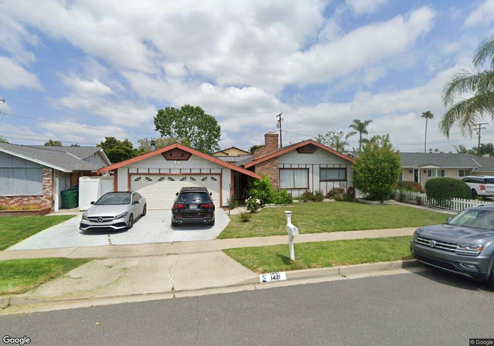
1421 Bullard Ln Tustin, CA 92780
Estimated Value: $817,000 - $1,422,000
3
Beds
2
Baths
1,934
Sq Ft
$622/Sq Ft
Est. Value
About This Home
This home is located at 1421 Bullard Ln, Tustin, CA 92780 and is currently estimated at $1,202,927, approximately $621 per square foot. 1421 Bullard Ln is a home located in Orange County with nearby schools including Red Hill Elementary School, C. E. Utt Middle School, and Tustin High School.
Ownership History
Date
Name
Owned For
Owner Type
Purchase Details
Closed on
Aug 1, 2013
Sold by
Apel Martina
Bought by
Wilkinson Sean and Wilkinson Rosemarie
Current Estimated Value
Home Financials for this Owner
Home Financials are based on the most recent Mortgage that was taken out on this home.
Original Mortgage
$416,772
Interest Rate
4.46%
Mortgage Type
VA
Create a Home Valuation Report for This Property
The Home Valuation Report is an in-depth analysis detailing your home's value as well as a comparison with similar homes in the area
Home Values in the Area
Average Home Value in this Area
Purchase History
| Date | Buyer | Sale Price | Title Company |
|---|---|---|---|
| Wilkinson Sean | $408,000 | Pacific Coast Title Company |
Source: Public Records
Mortgage History
| Date | Status | Borrower | Loan Amount |
|---|---|---|---|
| Previous Owner | Wilkinson Sean | $416,772 |
Source: Public Records
Tax History Compared to Growth
Tax History
| Year | Tax Paid | Tax Assessment Tax Assessment Total Assessment is a certain percentage of the fair market value that is determined by local assessors to be the total taxable value of land and additions on the property. | Land | Improvement |
|---|---|---|---|---|
| 2025 | $2,744 | $212,336 | $115,519 | $96,817 |
| 2024 | $2,744 | $208,173 | $113,254 | $94,919 |
| 2023 | $2,667 | $204,092 | $111,034 | $93,058 |
| 2022 | $2,616 | $200,091 | $108,857 | $91,234 |
| 2021 | $2,567 | $196,168 | $106,722 | $89,446 |
| 2020 | $2,553 | $194,157 | $105,628 | $88,529 |
| 2019 | $2,498 | $190,350 | $103,556 | $86,794 |
| 2018 | $2,460 | $186,618 | $101,525 | $85,093 |
| 2017 | $2,419 | $182,959 | $99,534 | $83,425 |
| 2016 | $2,379 | $179,372 | $97,582 | $81,790 |
| 2015 | $2,466 | $176,678 | $96,116 | $80,562 |
| 2014 | $2,408 | $173,218 | $94,234 | $78,984 |
Source: Public Records
Map
Nearby Homes
- 1312 Sierra Alta Dr
- 12472 Woodlawn Ave
- 1311 La Colina Dr
- 1642 Tiffany Place
- 12441 La Bella Dr
- 12361 Charloma Dr
- 1111 Packers Cir Unit 25
- 1161 Packers Cir Unit 102
- 1431 Mauna Loa Rd
- 1301 Landfair Cir
- 1125 E 1st St
- 12605 Prescott Ave
- 12261 Browning Ave
- 12138 Skyline Dr
- 1271 Brittany Cross Rd
- 1621 Bryan Ave
- 2226 Mccharles Dr
- 13511 Epping Way
- 12800 Stevens Dr
- 2141 Palermo
- 1431 Bullard Ln
- 1411 Bullard Ln
- 1422 Sierra Alta Dr
- 1432 Sierra Alta Dr
- 1412 Sierra Alta Dr
- 1451 Bullard Ln
- 1391 Bullard Ln
- 1422 Bullard Ln
- 1422 Bullard Ln
- 1402 Bullard Ln
- 1452 Sierra Alta Dr
- 1392 Sierra Alta Dr
- 1432 Bullard Ln
- 12701 Red Hill Ave
- 1371 Bullard Ln
- 1452 Bullard Ln
- 12671 Red Hill Ave
- 1382 Sierra Alta Dr
- 1421 Sierra Alta Dr
- 1472 Bullard Ln