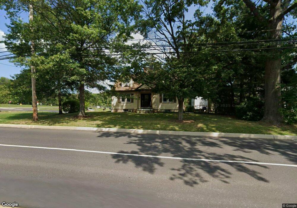
1421 Cowpath Rd Unit 26 Hatfield, PA 19440
Estimated Value: $416,697 - $442,000
3
Beds
2
Baths
1,571
Sq Ft
$273/Sq Ft
Est. Value
About This Home
This home is located at 1421 Cowpath Rd Unit 26, Hatfield, PA 19440 and is currently estimated at $428,674, approximately $272 per square foot. 1421 Cowpath Rd Unit 26 is a home located in Montgomery County with nearby schools including A. M. Kulp Elementary School, Pennfield Middle School, and North Penn Senior High School.
Ownership History
Date
Name
Owned For
Owner Type
Purchase Details
Closed on
May 31, 1995
Sold by
Stockinger John J and Stockinger Mary E
Bought by
Fricker Ronald G and Fricker Maria R
Current Estimated Value
Create a Home Valuation Report for This Property
The Home Valuation Report is an in-depth analysis detailing your home's value as well as a comparison with similar homes in the area
Home Values in the Area
Average Home Value in this Area
Purchase History
| Date | Buyer | Sale Price | Title Company |
|---|---|---|---|
| Fricker Ronald G | $128,000 | -- |
Source: Public Records
Tax History Compared to Growth
Tax History
| Year | Tax Paid | Tax Assessment Tax Assessment Total Assessment is a certain percentage of the fair market value that is determined by local assessors to be the total taxable value of land and additions on the property. | Land | Improvement |
|---|---|---|---|---|
| 2025 | $4,891 | $122,150 | $48,360 | $73,790 |
| 2024 | $4,891 | $122,150 | $48,360 | $73,790 |
| 2023 | $4,682 | $122,150 | $48,360 | $73,790 |
| 2022 | $4,528 | $122,150 | $48,360 | $73,790 |
| 2021 | $4,400 | $122,150 | $48,360 | $73,790 |
| 2020 | $4,296 | $122,150 | $48,360 | $73,790 |
| 2019 | $4,224 | $122,150 | $48,360 | $73,790 |
| 2018 | $4,225 | $122,150 | $48,360 | $73,790 |
| 2017 | $4,063 | $122,150 | $48,360 | $73,790 |
| 2016 | $4,016 | $122,150 | $48,360 | $73,790 |
| 2015 | $3,855 | $122,150 | $48,360 | $73,790 |
| 2014 | $3,855 | $122,150 | $48,360 | $73,790 |
Source: Public Records
Map
Nearby Homes
- 1306 W Orvilla Rd
- 1226 Cabin Rd
- 2317 E Orvilla Rd
- 1744 Lydia Dr
- 1315 Deer Run Rd
- 732 Cowpath Rd
- 480 Bentwood Dr
- 105 S Main St
- 109 Hickory Dr
- 24 S Wayne Ave
- 113 Hickory Dr
- 0 Fairmount St
- 3 Diamond St
- 302 W Broad St
- 36 N Maple Ave
- 142 Orchard Ln
- 138 Diamond St Unit 31
- 9 Fortuna Dr
- 8 Fortuna Dr
- 5 Fortuna Dr
- 1345 Cowpath Rd
- 1931 E Orvilla Rd Unit 23
- 1916 E Orvilla Rd
- 1440 Cowpath Rd Unit 15
- 1941 E Orvilla Rd
- 1340 Cowpath Rd
- 1926 E Orvilla Rd
- 1505 Cowpath Rd
- 2020 E Orvilla Rd
- 1328 Cowpath Rd
- 1951 E Orvilla Rd
- 1511 Cowpath Rd
- 1441 W Orvilla Rd
- 1441 W Orvilla Rd Unit 2ND FLR
- 1519 Cowpath Rd
- 1320 Cowpath Rd
- 1480 Leas Way
- 2025 E Orvilla Rd
- 1306 Cowpath Rd
- 1435 W Orvilla Rd