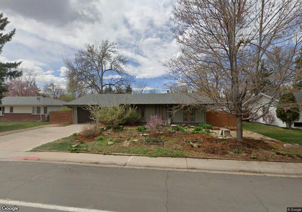
1421 Stover St Fort Collins, CO 80524
Historic Fort Collins High School NeighborhoodEstimated Value: $535,000 - $706,000
3
Beds
2
Baths
1,376
Sq Ft
$438/Sq Ft
Est. Value
About This Home
This home is located at 1421 Stover St, Fort Collins, CO 80524 and is currently estimated at $603,246, approximately $438 per square foot. 1421 Stover St is a home located in Larimer County with nearby schools including Laurel Elementary School, Lesher Middle School, and Fort Collins High School.
Ownership History
Date
Name
Owned For
Owner Type
Purchase Details
Closed on
Jul 11, 2018
Sold by
Moses Mary Beth
Bought by
Moses Mary Beth and Hand Randall
Current Estimated Value
Home Financials for this Owner
Home Financials are based on the most recent Mortgage that was taken out on this home.
Original Mortgage
$176,400
Outstanding Balance
$154,533
Interest Rate
5%
Mortgage Type
Adjustable Rate Mortgage/ARM
Estimated Equity
$448,713
Purchase Details
Closed on
Jul 13, 2005
Sold by
Nolan Tee Ray
Bought by
Moses Mary Beth
Home Financials for this Owner
Home Financials are based on the most recent Mortgage that was taken out on this home.
Original Mortgage
$43,000
Interest Rate
5.19%
Mortgage Type
Stand Alone Second
Purchase Details
Closed on
Jun 1, 1993
Sold by
Wright Jesse F
Bought by
Nolan Tee Ray
Create a Home Valuation Report for This Property
The Home Valuation Report is an in-depth analysis detailing your home's value as well as a comparison with similar homes in the area
Home Values in the Area
Average Home Value in this Area
Purchase History
| Date | Buyer | Sale Price | Title Company |
|---|---|---|---|
| Moses Mary Beth | -- | None Available | |
| Moses Mary Beth | $215,000 | -- | |
| Nolan Tee Ray | $95,000 | -- |
Source: Public Records
Mortgage History
| Date | Status | Borrower | Loan Amount |
|---|---|---|---|
| Open | Moses Mary Beth | $176,400 | |
| Closed | Moses Mary Beth | $43,000 | |
| Closed | Moses Mary Beth | $172,000 |
Source: Public Records
Tax History Compared to Growth
Tax History
| Year | Tax Paid | Tax Assessment Tax Assessment Total Assessment is a certain percentage of the fair market value that is determined by local assessors to be the total taxable value of land and additions on the property. | Land | Improvement |
|---|---|---|---|---|
| 2025 | $3,296 | $38,036 | $3,350 | $34,686 |
| 2024 | $3,136 | $38,036 | $3,350 | $34,686 |
| 2022 | $2,603 | $27,564 | $3,475 | $24,089 |
| 2021 | $2,630 | $28,357 | $3,575 | $24,782 |
| 2020 | $2,324 | $24,839 | $3,575 | $21,264 |
| 2019 | $2,334 | $24,839 | $3,575 | $21,264 |
| 2018 | $2,255 | $24,739 | $3,600 | $21,139 |
| 2017 | $2,247 | $24,739 | $3,600 | $21,139 |
| 2016 | $1,817 | $19,900 | $3,980 | $15,920 |
| 2015 | $1,804 | $19,900 | $3,980 | $15,920 |
| 2014 | $1,553 | $17,030 | $3,980 | $13,050 |
Source: Public Records
Map
Nearby Homes
- 613 E Lake St
- 205 Circle Dr
- 1628 Smith Place
- 816 Buckeye St
- 1204 Newsom St
- 1305 Green St
- 1535 Peterson St
- 1539 Peterson St
- 1741 Brookhaven Cir E Unit A
- 1741 Brookhaven Cir E Unit D
- 834 Cherokee Dr
- 1110 Peterson St
- 1737 Springmeadows Ct Unit A
- 311 Edwards St
- 1112 Robertson St
- 1804 Mohawk St
- 1304 S Lemay Ave
- 812 Peterson St
- 1020 S College Ave
- 613 Dartmouth Trail