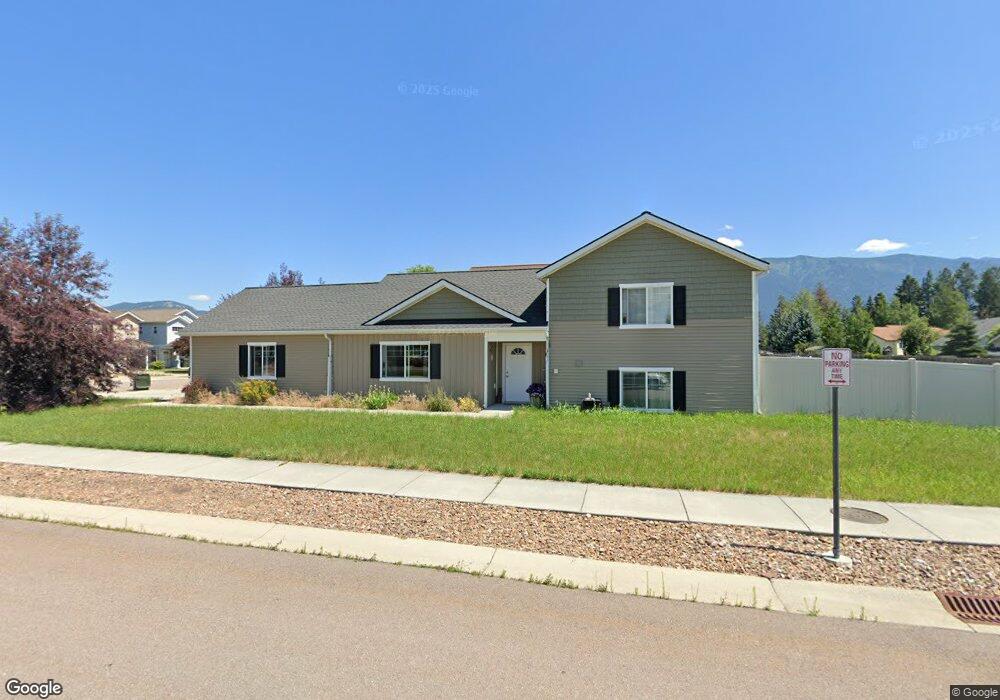
1421 Wildcat Dr Columbia Falls, MT 59912
Estimated Value: $492,000 - $612,000
3
Beds
3
Baths
1,728
Sq Ft
$309/Sq Ft
Est. Value
About This Home
This home is located at 1421 Wildcat Dr, Columbia Falls, MT 59912 and is currently estimated at $533,575, approximately $308 per square foot. 1421 Wildcat Dr is a home located in Flathead County with nearby schools including Ruder Elementary School, Columbia Falls Junior High School (7-8), and Columbia Falls High School.
Ownership History
Date
Name
Owned For
Owner Type
Purchase Details
Closed on
Jul 17, 2017
Sold by
Green Marcus B and Green Shelly L
Bought by
Green Marcus B and Green Shelly L
Current Estimated Value
Home Financials for this Owner
Home Financials are based on the most recent Mortgage that was taken out on this home.
Original Mortgage
$198,102
Outstanding Balance
$164,589
Interest Rate
3.89%
Mortgage Type
Purchase Money Mortgage
Estimated Equity
$368,986
Purchase Details
Closed on
Jan 14, 2014
Sold by
Cahoon Enterprises Llc
Bought by
Green Marcus B and Green Shelley L
Create a Home Valuation Report for This Property
The Home Valuation Report is an in-depth analysis detailing your home's value as well as a comparison with similar homes in the area
Home Values in the Area
Average Home Value in this Area
Purchase History
| Date | Buyer | Sale Price | Title Company |
|---|---|---|---|
| Green Marcus B | -- | First American Title Company | |
| Green Marcus B | -- | None Available |
Source: Public Records
Mortgage History
| Date | Status | Borrower | Loan Amount |
|---|---|---|---|
| Open | Green Marcus B | $198,102 |
Source: Public Records
Tax History Compared to Growth
Tax History
| Year | Tax Paid | Tax Assessment Tax Assessment Total Assessment is a certain percentage of the fair market value that is determined by local assessors to be the total taxable value of land and additions on the property. | Land | Improvement |
|---|---|---|---|---|
| 2025 | $2,481 | $518,700 | $0 | $0 |
| 2024 | $2,684 | $381,100 | $0 | $0 |
| 2023 | $2,785 | $381,100 | $0 | $0 |
| 2022 | $3,071 | $295,200 | $0 | $0 |
| 2021 | $3,268 | $295,200 | $0 | $0 |
| 2020 | $3,033 | $260,400 | $0 | $0 |
| 2019 | $2,877 | $260,400 | $0 | $0 |
| 2018 | $2,546 | $219,500 | $0 | $0 |
| 2017 | $2,349 | $219,500 | $0 | $0 |
| 2016 | $2,155 | $187,400 | $0 | $0 |
| 2015 | $2,138 | $187,400 | $0 | $0 |
| 2014 | $1,955 | $102,449 | $0 | $0 |
Source: Public Records
Map
Nearby Homes
- 1318 Wildcat Dr
- 1924 Rapids Ave
- 1615 Ave
- 1159 15th Ave W
- 165 Veteran Dr
- 1005 10th St W
- 57 Hidden Cedar Loop
- 9 & 11 Diane Rd
- 929 9th St W
- 4 Hidden Cedar Loop
- 558 Talbot Rd
- 1605 & 1629 4th Ave W
- 809 9th St W Unit 1
- 809 9th St W Unit 14
- 809 9th St W Unit 17
- 26 Martha Rd
- 1947 9th St W
- 7 Beth Rd
- 625 7th Ave W
- 1126 Columbia Falls Stage Rd
- 1407 Wildcat Dr
- 1387 Wildcat Dr
- 1373 Wildcat Dr
- 1422 Wildcat Dr
- 1408 Wildcat Dr
- 1359 Wildcat Dr
- 1388 Wildcat Dr
- 1374 Wildcat Dr
- 1345 Wildcat Dr
- 1360 Wildcat Dr
- 1331 Wildcat Dr
- 1346 Wildcat Dr
- 1403 Eddy Ct
- 1317 Wildcat Dr
- 1332 Wildcat Dr
- 1405 Eddy Ct
- 1401 Eddy Ct
- 1303 Wildcat Dr
- 1304 Wildcat Dr
- 1285 Wildcat Dr