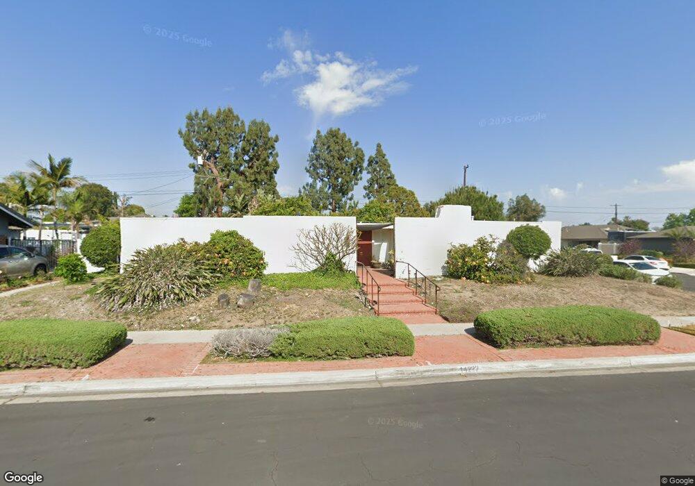
14222 Howland Way Tustin, CA 92780
Estimated Value: $1,361,000 - $1,520,000
3
Beds
3
Baths
2,590
Sq Ft
$556/Sq Ft
Est. Value
About This Home
This home is located at 14222 Howland Way, Tustin, CA 92780 and is currently estimated at $1,440,285, approximately $556 per square foot. 14222 Howland Way is a home located in Orange County with nearby schools including Guin Foss Elementary School, Columbus Tustin Middle School, and Foothill High School.
Ownership History
Date
Name
Owned For
Owner Type
Purchase Details
Closed on
Aug 30, 2017
Sold by
Nishmura Earl K and Nishmura Anne Lei
Bought by
Miura David Isamu and Nishmura Anne Lei
Current Estimated Value
Home Financials for this Owner
Home Financials are based on the most recent Mortgage that was taken out on this home.
Original Mortgage
$300,000
Interest Rate
3.9%
Mortgage Type
New Conventional
Purchase Details
Closed on
May 17, 2002
Sold by
Nishimura Karl K and Nishimura Mildred T
Bought by
Nishimura Karl K and Nishimura Mildred T
Create a Home Valuation Report for This Property
The Home Valuation Report is an in-depth analysis detailing your home's value as well as a comparison with similar homes in the area
Home Values in the Area
Average Home Value in this Area
Purchase History
| Date | Buyer | Sale Price | Title Company |
|---|---|---|---|
| Miura David Isamu | -- | North American Title | |
| Nishimura Karl K | -- | -- |
Source: Public Records
Mortgage History
| Date | Status | Borrower | Loan Amount |
|---|---|---|---|
| Closed | Miura David Isamu | $300,000 |
Source: Public Records
Tax History
| Year | Tax Paid | Tax Assessment Tax Assessment Total Assessment is a certain percentage of the fair market value that is determined by local assessors to be the total taxable value of land and additions on the property. | Land | Improvement |
|---|---|---|---|---|
| 2025 | $1,934 | $134,781 | $32,337 | $102,444 |
| 2024 | $1,934 | $132,139 | $31,703 | $100,436 |
| 2023 | $1,875 | $129,549 | $31,082 | $98,467 |
| 2022 | $1,834 | $127,009 | $30,472 | $96,537 |
| 2021 | $1,801 | $124,519 | $29,874 | $94,645 |
| 2020 | $1,791 | $123,243 | $29,568 | $93,675 |
| 2019 | $1,756 | $120,827 | $28,988 | $91,839 |
| 2018 | $9,197 | $816,000 | $647,989 | $168,011 |
| 2017 | $1,628 | $116,136 | $27,862 | $88,274 |
| 2016 | $1,601 | $113,859 | $27,315 | $86,544 |
| 2015 | $1,693 | $112,149 | $26,904 | $85,245 |
| 2014 | $1,654 | $109,953 | $26,377 | $83,576 |
Source: Public Records
Map
Nearby Homes
- 17965 Wellington Ave
- 17782 Arbolada Way
- 14162 Prospect Ave
- 17552 Vandenberg Ln Unit 1
- 17522 Vandenberg Ln Unit 3
- 14272 Acacia Dr
- 13981 Brenan Way
- 14682 Holt Ave
- 13902 Yorba St Unit 14C
- 13772 Sanderstead Rd
- 17926 Irvine Blvd
- 139 Jessup Way
- 119 Jessup Way
- 17956 Irvine Blvd
- 13662 Loretta Dr
- 17572 Leafwood Ln
- 1111 Tustin Pines Way
- 13682 Carroll Way
- 2171 Lemon Heights
- 1271 Garland Ave
- 14202 Howland Way
- 17961 Wellington Ave
- 17962 Fiesta Way
- 17942 Wellington Ave
- 14221 Howland Way
- 17922 Wellington Ave
- 14201 Howland Way
- 17962 Wellington Ave
- 17912 Wellington Ave
- 17966 Fiesta Way
- 17966 Wellington Ave
- 14172 Howland Way
- 14181 Howland Way
- 17941 Bigelow Park
- 17961 Bigelow Park
- 17961 Fiesta Way
- 14222 Shasta Way
- 17921 Bigelow Park
- 14202 Shasta Way
- 17965 Fiesta Way
Your Personal Tour Guide
Ask me questions while you tour the home.