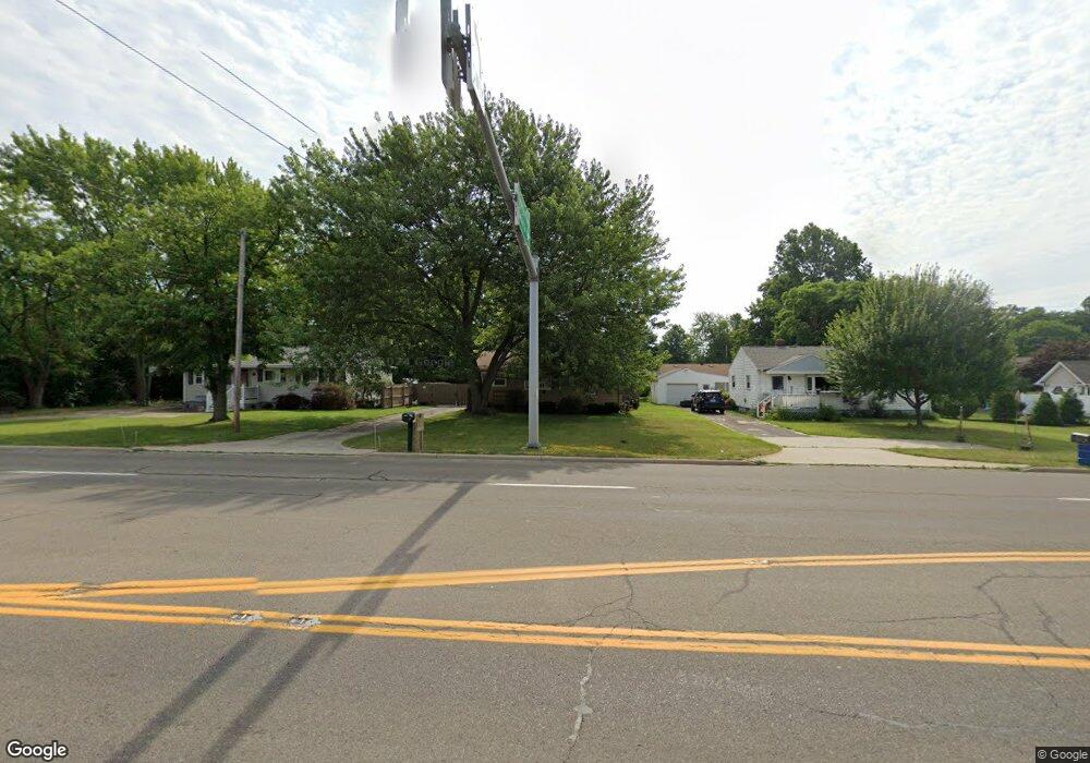
1427 S Canfield Niles Rd Youngstown, OH 44515
Austintown NeighborhoodEstimated Value: $132,000 - $181,000
3
Beds
2
Baths
1,056
Sq Ft
$145/Sq Ft
Est. Value
About This Home
This home is located at 1427 S Canfield Niles Rd, Youngstown, OH 44515 and is currently estimated at $152,657, approximately $144 per square foot. 1427 S Canfield Niles Rd is a home located in Mahoning County with nearby schools including Austintown Elementary School, Austintown Intermediate School, and Austintown Middle School.
Ownership History
Date
Name
Owned For
Owner Type
Purchase Details
Closed on
Oct 29, 2009
Sold by
Miller Carla M
Bought by
Glancy Melissa S
Current Estimated Value
Home Financials for this Owner
Home Financials are based on the most recent Mortgage that was taken out on this home.
Original Mortgage
$49,094
Outstanding Balance
$32,236
Interest Rate
5.11%
Mortgage Type
FHA
Estimated Equity
$120,421
Purchase Details
Closed on
Jan 1, 1990
Bought by
Boyles Frank H and Boyles L
Create a Home Valuation Report for This Property
The Home Valuation Report is an in-depth analysis detailing your home's value as well as a comparison with similar homes in the area
Home Values in the Area
Average Home Value in this Area
Purchase History
| Date | Buyer | Sale Price | Title Company |
|---|---|---|---|
| Glancy Melissa S | $50,000 | Attorney | |
| Boyles Frank H | -- | -- |
Source: Public Records
Mortgage History
| Date | Status | Borrower | Loan Amount |
|---|---|---|---|
| Open | Glancy Melissa S | $49,094 |
Source: Public Records
Tax History Compared to Growth
Tax History
| Year | Tax Paid | Tax Assessment Tax Assessment Total Assessment is a certain percentage of the fair market value that is determined by local assessors to be the total taxable value of land and additions on the property. | Land | Improvement |
|---|---|---|---|---|
| 2024 | $1,615 | $35,260 | $6,140 | $29,120 |
| 2023 | $1,590 | $35,260 | $6,140 | $29,120 |
| 2022 | $1,318 | $23,430 | $5,410 | $18,020 |
| 2021 | $1,319 | $23,430 | $5,410 | $18,020 |
| 2020 | $1,324 | $23,430 | $5,410 | $18,020 |
| 2019 | $1,255 | $20,210 | $4,670 | $15,540 |
| 2018 | $1,208 | $20,210 | $4,670 | $15,540 |
| 2017 | $1,225 | $20,210 | $4,670 | $15,540 |
| 2016 | $1,245 | $20,680 | $4,670 | $16,010 |
| 2015 | $1,207 | $20,680 | $4,670 | $16,010 |
| 2014 | $1,213 | $20,680 | $4,670 | $16,010 |
| 2013 | $1,200 | $20,680 | $4,670 | $16,010 |
Source: Public Records
Map
Nearby Homes
- 5318 Pinecrest Ave
- 5678 Cider Mill Crossing
- 5179 Willow Crest Ave
- 701 Oberlin Place
- 5256 S Saratoga Ave
- 316 S Inglewood Ave
- 5559 London Dr
- 5640 Baylor Ave
- 5109 W Elmwood Ave
- 1707 Westhampton Dr
- 148 Marcia Dr
- 0 Madrid Dr
- 124 S Inglewood Ave
- 3794-3796 Mahoning Ave
- 519 Wilcox Rd Unit A
- 557 Wilcox Rd Unit A
- 1439 Bexley Dr
- 2211 Penny Ln
- 4815 New Rd
- 370 Wilcox Rd
- 1421 S Canfield Niles Rd
- 1435 S Canfield Niles Rd
- 398 Beechcrest Ave
- 390 Beechcrest Ave
- 406 Beechcrest Ave
- 5434 N Beacon Dr
- 5422 N Beacon Dr
- 5411 Willow Crest Ave
- 382 Beechcrest Ave
- 5410 N Beacon Dr
- 397 Beechcrest Ave
- 405 Beechcrest Ave
- 389 Beechcrest Ave
- 5398 N Beacon Dr
- 438 W Saratoga Ave
- 381 Beechcrest Ave
- 5410 Willow Crest Ave
- 374 Beechcrest Ave
- 435 W Saratoga Ave
- 5399 Willow Crest Ave