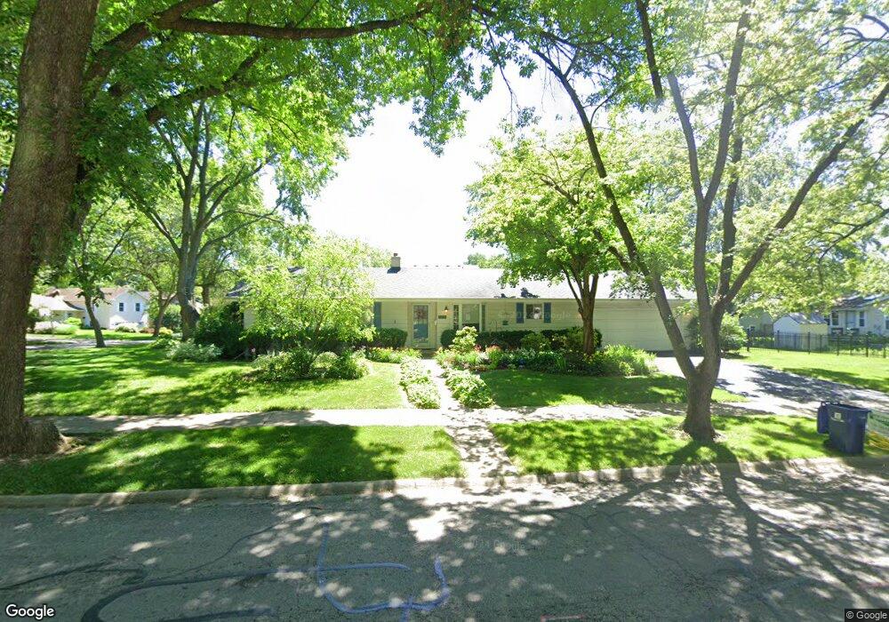
1428 Clyde Dr Unit 2 Naperville, IL 60565
Maple Brook NeighborhoodEstimated Value: $514,476 - $573,000
4
Beds
3
Baths
1,724
Sq Ft
$311/Sq Ft
Est. Value
About This Home
This home is located at 1428 Clyde Dr Unit 2, Naperville, IL 60565 and is currently estimated at $536,119, approximately $310 per square foot. 1428 Clyde Dr Unit 2 is a home located in DuPage County with nearby schools including Maplebrook Elementary School, Lincoln Jr. High School, and Naperville Central High School.
Ownership History
Date
Name
Owned For
Owner Type
Purchase Details
Closed on
Dec 23, 2011
Sold by
Keefer Nancy A and Nancy A Keefer Trust
Bought by
Keefer Earl E and Keefer Nancy A
Current Estimated Value
Home Financials for this Owner
Home Financials are based on the most recent Mortgage that was taken out on this home.
Original Mortgage
$135,000
Outstanding Balance
$92,172
Interest Rate
3.97%
Mortgage Type
New Conventional
Estimated Equity
$443,947
Purchase Details
Closed on
Jun 3, 2011
Sold by
North Star Trust Company
Bought by
Keefer Nancy A and Nancy A Keefer Trust
Home Financials for this Owner
Home Financials are based on the most recent Mortgage that was taken out on this home.
Original Mortgage
$170,000
Interest Rate
5.87%
Mortgage Type
Adjustable Rate Mortgage/ARM
Purchase Details
Closed on
Sep 26, 2001
Sold by
Glowiak Bernice W
Bought by
Oak Brook Bank and Trust #8-1261
Create a Home Valuation Report for This Property
The Home Valuation Report is an in-depth analysis detailing your home's value as well as a comparison with similar homes in the area
Home Values in the Area
Average Home Value in this Area
Purchase History
| Date | Buyer | Sale Price | Title Company |
|---|---|---|---|
| Keefer Earl E | -- | Old Republic National Title | |
| Keefer Nancy A | $250,000 | Attorneys Title Guaranty Fun | |
| Oak Brook Bank | $216,000 | Prairie Title |
Source: Public Records
Mortgage History
| Date | Status | Borrower | Loan Amount |
|---|---|---|---|
| Open | Keefer Earl E | $135,000 | |
| Closed | Keefer Nancy A | $170,000 |
Source: Public Records
Tax History
| Year | Tax Paid | Tax Assessment Tax Assessment Total Assessment is a certain percentage of the fair market value that is determined by local assessors to be the total taxable value of land and additions on the property. | Land | Improvement |
|---|---|---|---|---|
| 2024 | $7,026 | $130,695 | $74,343 | $56,352 |
| 2023 | $6,711 | $119,280 | $67,850 | $51,430 |
| 2022 | $6,640 | $113,600 | $64,620 | $48,980 |
| 2021 | $6,381 | $109,310 | $62,180 | $47,130 |
| 2020 | $6,237 | $107,340 | $61,060 | $46,280 |
| 2019 | $6,036 | $102,700 | $58,420 | $44,280 |
| 2018 | $5,872 | $100,190 | $56,990 | $43,200 |
| 2017 | $5,738 | $96,810 | $55,070 | $41,740 |
| 2016 | $5,606 | $93,310 | $53,080 | $40,230 |
| 2015 | $5,541 | $87,870 | $49,990 | $37,880 |
| 2014 | $5,411 | $83,690 | $47,610 | $36,080 |
| 2013 | $5,330 | $83,890 | $47,720 | $36,170 |
Source: Public Records
Map
Nearby Homes
- 1751 S Washington St Unit 1
- 1754 S Washington St Unit 1754
- 48 Starling Ln
- 124 E Bailey Rd Unit E
- 8S452 Bell Dr
- 138 E Bailey Rd Unit M
- 144 E Bailey Rd Unit D
- 228 E Bailey Rd Unit F
- 381 Prairie Knoll Dr
- 510 Harlowe Ln Unit 2001C
- 1546 Treeline Ct Unit 405
- 264 E Bailey Rd Unit C
- 1449 Whitespire Ct Unit 5104
- 313 W Gartner Rd
- 316 Sycamore Dr Unit 11
- 1712 Coach Dr
- 1715 Amelia Ct
- 621 Bourbon Ct
- 908 Julian Ct
- 627 Bourbon Ct
Your Personal Tour Guide
Ask me questions while you tour the home.