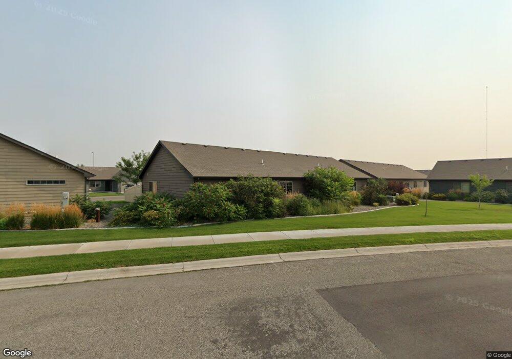
1428 River Point Loop Billings, MT 59101
South Central Billings NeighborhoodEstimated Value: $275,000 - $281,000
2
Beds
2
Baths
1,072
Sq Ft
$260/Sq Ft
Est. Value
About This Home
This home is located at 1428 River Point Loop, Billings, MT 59101 and is currently estimated at $278,938, approximately $260 per square foot. 1428 River Point Loop is a home located in Yellowstone County with nearby schools including Elysian Elementary School, Elysian School, and Billings West High School.
Ownership History
Date
Name
Owned For
Owner Type
Purchase Details
Closed on
Jun 13, 2019
Sold by
Stevenson Edward O and Stevenson Constance A
Bought by
Vito-Lepore Michael and Bold-Lepore Carol
Current Estimated Value
Home Financials for this Owner
Home Financials are based on the most recent Mortgage that was taken out on this home.
Original Mortgage
$80,000
Outstanding Balance
$70,197
Interest Rate
4%
Mortgage Type
New Conventional
Estimated Equity
$208,741
Create a Home Valuation Report for This Property
The Home Valuation Report is an in-depth analysis detailing your home's value as well as a comparison with similar homes in the area
Home Values in the Area
Average Home Value in this Area
Purchase History
| Date | Buyer | Sale Price | Title Company |
|---|---|---|---|
| Vito-Lepore Michael | -- | First Montana Title Co |
Source: Public Records
Mortgage History
| Date | Status | Borrower | Loan Amount |
|---|---|---|---|
| Open | Vito-Lepore Michael | $80,000 |
Source: Public Records
Tax History
| Year | Tax Paid | Tax Assessment Tax Assessment Total Assessment is a certain percentage of the fair market value that is determined by local assessors to be the total taxable value of land and additions on the property. | Land | Improvement |
|---|---|---|---|---|
| 2025 | $1,964 | $273,600 | $43,276 | $230,324 |
| 2024 | $1,964 | $233,100 | $36,641 | $196,459 |
| 2023 | $2,030 | $233,100 | $36,641 | $196,459 |
| 2022 | $1,821 | $186,100 | $0 | $0 |
| 2021 | $1,695 | $186,100 | $0 | $0 |
| 2020 | $1,720 | $180,700 | $0 | $0 |
| 2019 | $1,635 | $180,700 | $0 | $0 |
| 2018 | $1,616 | $173,100 | $0 | $0 |
| 2017 | $1,312 | $173,100 | $0 | $0 |
| 2016 | $1,439 | $164,100 | $0 | $0 |
| 2015 | $1,400 | $164,100 | $0 | $0 |
| 2014 | $1,337 | $82,089 | $0 | $0 |
Source: Public Records
Map
Nearby Homes
- 5327 Frontier Dr Unit 2
- 5255 Golden Hollow Rd
- 5233 Golden Hollow Rd
- 5437 Frontier Dr
- 5238 Golden Hollow Rd
- 1616 Island View Dr
- 1736 Stony Meadow Ln
- 1868 Songbird Dr
- 1904 Songbird Dr
- 1925 Stony Meadow Ln
- 44 Nimitz Dr
- 6102 Northstead Ave Unit 202
- 6102 Northstead Ave Unit 201
- 1831 Walter Creek Blvd
- 1806 Walter Creek Blvd
- 6108 Northstead Ave Unit 201
- 6108 Northstead Ave Unit 202
- 6135 Mollie Rose Ln
- 6046 Norma Jean Ln
- 2503 Blue Creek Rd
- 1434 River Point Loop
- 1420 River Point Loop Unit 1
- 1420 River Point Loop Unit 2
- 1420 River Point Loop
- 1406 River Point Loop
- 1404 River Point Loop
- 1404 River Point Loop
- 1429 River Point Loop
- 5240 Frontier Dr
- 1425 River Point Loop
- 1435 River Point Loop Unit 2
- 1435 River Point Loop
- 5236 Frontier Dr
- 5302 Denali Dr
- 1551 River Point Edge
- 5234 Frontier Dr
- 5304 Denali Dr
- 1419 River Point Loop
- 1419 River Point Loop Unit 1
- 1443 River Point Loop Unit 1
Your Personal Tour Guide
Ask me questions while you tour the home.