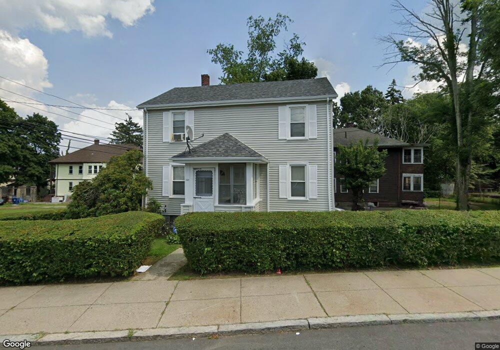
143 Blake St Mattapan, MA 02126
Hyde Park NeighborhoodEstimated Value: $820,000 - $1,005,000
8
Beds
5
Baths
3,032
Sq Ft
$302/Sq Ft
Est. Value
About This Home
This home is located at 143 Blake St, Mattapan, MA 02126 and is currently estimated at $914,195, approximately $301 per square foot. 143 Blake St is a home located in Suffolk County with nearby schools including KIPP Academy Boston Charter School, Boston Preparatory Charter Public School, and Berea Seventh-day Adventist Academy.
Ownership History
Date
Name
Owned For
Owner Type
Purchase Details
Closed on
Mar 25, 2005
Sold by
Perry Mary B
Bought by
Pena Josefina
Current Estimated Value
Home Financials for this Owner
Home Financials are based on the most recent Mortgage that was taken out on this home.
Original Mortgage
$266,750
Outstanding Balance
$134,787
Interest Rate
5.56%
Mortgage Type
Purchase Money Mortgage
Estimated Equity
$779,408
Create a Home Valuation Report for This Property
The Home Valuation Report is an in-depth analysis detailing your home's value as well as a comparison with similar homes in the area
Home Values in the Area
Average Home Value in this Area
Purchase History
| Date | Buyer | Sale Price | Title Company |
|---|---|---|---|
| Pena Josefina | $275,000 | -- |
Source: Public Records
Mortgage History
| Date | Status | Borrower | Loan Amount |
|---|---|---|---|
| Open | Pena Josefina | $266,750 |
Source: Public Records
Tax History Compared to Growth
Tax History
| Year | Tax Paid | Tax Assessment Tax Assessment Total Assessment is a certain percentage of the fair market value that is determined by local assessors to be the total taxable value of land and additions on the property. | Land | Improvement |
|---|---|---|---|---|
| 2025 | $10,576 | $913,300 | $207,800 | $705,500 |
| 2024 | $6,641 | $609,300 | $176,000 | $433,300 |
| 2023 | $4,748 | $442,100 | $180,000 | $262,100 |
| 2022 | $4,495 | $413,100 | $168,200 | $244,900 |
| 2021 | $4,121 | $386,200 | $161,700 | $224,500 |
| 2020 | $3,952 | $374,200 | $163,700 | $210,500 |
| 2019 | $3,586 | $340,200 | $122,700 | $217,500 |
| 2018 | $3,396 | $324,000 | $122,700 | $201,300 |
| 2017 | $3,148 | $297,300 | $122,700 | $174,600 |
| 2016 | $3,086 | $280,500 | $122,700 | $157,800 |
| 2015 | $2,908 | $240,100 | $102,000 | $138,100 |
| 2014 | -- | $221,900 | $102,000 | $119,900 |
Source: Public Records
Map
Nearby Homes
- 34 Ridlon Rd
- 839-843 Cummins Hwy
- 90 Hollingsworth St
- 7 Winborough St
- 23 Caton St
- 770 Cummins Hwy Unit 1
- 770 Cummins Hwy Unit 22
- 25 Alpine St Unit 7
- 231 Itasca St
- 10 Brockton St
- 265 Hebron St
- 0 Tina Ave
- 645 River St
- 48-50 Rockdale St
- 179 Hebron St
- 95 Woodhaven St
- 20 Massasoit St
- 72 Livermore St
- 42 Osceola St
- 100 Itasca St
- 132 Greenfield Rd
- 141 Blake St
- 130 Greenfield Rd Unit 2
- 130 Greenfield Rd Unit 1
- 142 Blake St Unit 2
- 142 Blake St Unit 1
- 142 Blake St Unit 144
- 144 Blake St Unit 2
- 144 Blake St Unit 144
- 146 Blake St Unit 148
- 133 Blake St
- 146 Greenfield Rd
- 44 Rugby Rd Unit 46
- 128 Greenfield Rd
- 138 Blake St Unit 140
- 131 Greenfield Rd
- 131 Blake St
- 134 Blake St Unit 136
- 126 Greenfield Rd
- 134 Blake St Unit 1