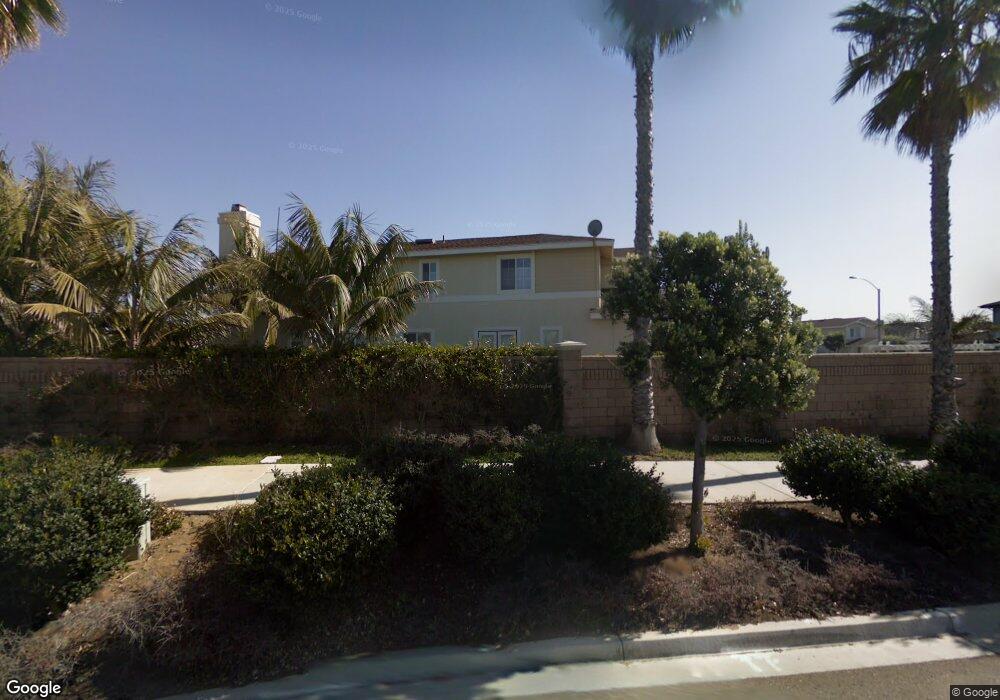
143 Channel Rd Unit 11 Carlsbad, CA 92011
South Beach NeighborhoodEstimated Value: $1,756,000 - $2,078,000
3
Beds
3
Baths
2,261
Sq Ft
$844/Sq Ft
Est. Value
About This Home
This home is located at 143 Channel Rd Unit 11, Carlsbad, CA 92011 and is currently estimated at $1,909,192, approximately $844 per square foot. 143 Channel Rd Unit 11 is a home located in San Diego County with nearby schools including Pacific Rim Elementary, Aviara Oaks Middle, and Carlsbad High School.
Ownership History
Date
Name
Owned For
Owner Type
Purchase Details
Closed on
May 10, 2001
Sold by
Fieldstone Poinsettia Cove Llc
Bought by
Fels Robert M and Fels Sandra M
Current Estimated Value
Home Financials for this Owner
Home Financials are based on the most recent Mortgage that was taken out on this home.
Original Mortgage
$200,000
Interest Rate
7.11%
Mortgage Type
Balloon
Create a Home Valuation Report for This Property
The Home Valuation Report is an in-depth analysis detailing your home's value as well as a comparison with similar homes in the area
Home Values in the Area
Average Home Value in this Area
Purchase History
| Date | Buyer | Sale Price | Title Company |
|---|---|---|---|
| Fels Robert M | $447,000 | First American Title |
Source: Public Records
Mortgage History
| Date | Status | Borrower | Loan Amount |
|---|---|---|---|
| Previous Owner | Fels Robert M | $200,000 |
Source: Public Records
Tax History Compared to Growth
Tax History
| Year | Tax Paid | Tax Assessment Tax Assessment Total Assessment is a certain percentage of the fair market value that is determined by local assessors to be the total taxable value of land and additions on the property. | Land | Improvement |
|---|---|---|---|---|
| 2025 | $7,556 | $660,317 | $369,316 | $291,001 |
| 2024 | $7,556 | $647,371 | $362,075 | $285,296 |
| 2023 | $7,521 | $634,678 | $354,976 | $279,702 |
| 2022 | $7,414 | $622,234 | $348,016 | $274,218 |
| 2021 | $7,364 | $610,035 | $341,193 | $268,842 |
| 2020 | $7,241 | $603,781 | $337,695 | $266,086 |
| 2019 | $7,121 | $591,943 | $331,074 | $260,869 |
| 2018 | $6,845 | $580,337 | $324,583 | $255,754 |
| 2017 | $6,740 | $568,959 | $318,219 | $250,740 |
| 2016 | $6,493 | $557,804 | $311,980 | $245,824 |
| 2015 | $6,469 | $549,426 | $307,294 | $242,132 |
| 2014 | $6,370 | $538,664 | $301,275 | $237,389 |
Source: Public Records
Map
Nearby Homes
- 7020 Whitewater St
- 609 Saltgrass Ave
- 6925 Waters End Dr
- 7205 Santa Barbara St Unit 153
- 7221 San Luis St
- 7207 Santa Barbara St Unit 154
- 7002 San Bartolo St Unit 30
- 7024 San Bartolo St Unit 19
- 7027 San Bartolo St Unit 43
- 7025 San Bartolo St Unit 42
- 7016 San Carlos St Unit 61
- 7313 Santa Barbara St Unit 294
- 7320 San Bartolo St Unit 217
- 7241 San Luis St
- 7236 San Benito St Unit 355
- 7233 San Bartolo St Unit 376
- 6951 Quiet Cove Dr
- 6550 Ponto Dr Unit SPC 39
- 6550 Ponto Dr Unit 110
- 6550 Ponto Dr Unit 14
- 139 Channel Rd Unit 12
- 135 Channel Rd
- 146 Channel Rd
- 142 Channel Rd
- 131 Channel Rd
- 127 Channel Rd Unit 15
- 6981 Catamaran Dr Unit 83
- 111 Channel Rd
- 134 Channel Rd
- 130 Channel Rd
- 126 Channel Rd
- 123 Channel Rd Unit 16
- 115 Channel Rd
- 142 Windvane Ln
- 146 Windvane Ln
- 138 Windvane Ln
- 119 Channel Rd Unit 17
- 134 Windvane Ln Unit 77
- 6969 Catamaran Dr Unit 80
- 130 Windvane Ln