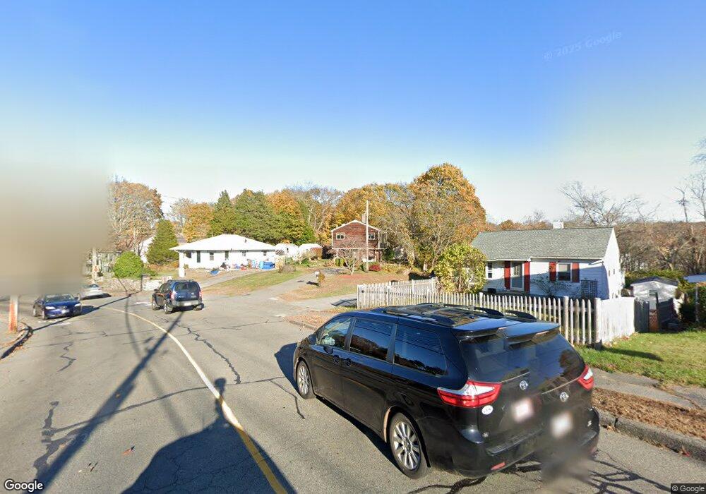
143 Cherry St Gloucester, MA 01930
Estimated Value: $582,000 - $660,000
3
Beds
2
Baths
1,152
Sq Ft
$532/Sq Ft
Est. Value
About This Home
This home is located at 143 Cherry St, Gloucester, MA 01930 and is currently estimated at $612,303, approximately $531 per square foot. 143 Cherry St is a home located in Essex County with nearby schools including Beeman Memorial, Ralph B O'maley Middle School, and Gloucester High School.
Ownership History
Date
Name
Owned For
Owner Type
Purchase Details
Closed on
Nov 21, 2023
Sold by
Parady Frederick J and Parady Sharon R
Bought by
Maritime Ret and Parady
Current Estimated Value
Purchase Details
Closed on
Dec 14, 1987
Sold by
Allen David C
Bought by
Parady Frederick J
Home Financials for this Owner
Home Financials are based on the most recent Mortgage that was taken out on this home.
Original Mortgage
$106,500
Interest Rate
10.96%
Mortgage Type
Purchase Money Mortgage
Create a Home Valuation Report for This Property
The Home Valuation Report is an in-depth analysis detailing your home's value as well as a comparison with similar homes in the area
Purchase History
| Date | Buyer | Sale Price | Title Company |
|---|---|---|---|
| Maritime Ret | -- | None Available | |
| Parady Frederick J | $135,000 | -- |
Source: Public Records
Mortgage History
| Date | Status | Borrower | Loan Amount |
|---|---|---|---|
| Previous Owner | Parady Frederick J | $200,000 | |
| Previous Owner | Parady Frederick J | $75,000 | |
| Previous Owner | Parady Frederick J | $150,000 | |
| Previous Owner | Parady Frederick J | $106,500 |
Source: Public Records
Tax History
| Year | Tax Paid | Tax Assessment Tax Assessment Total Assessment is a certain percentage of the fair market value that is determined by local assessors to be the total taxable value of land and additions on the property. | Land | Improvement |
|---|---|---|---|---|
| 2025 | $4,467 | $459,600 | $192,400 | $267,200 |
| 2024 | $4,382 | $450,400 | $183,200 | $267,200 |
| 2023 | $4,213 | $397,800 | $163,600 | $234,200 |
| 2022 | $4,086 | $348,300 | $142,300 | $206,000 |
| 2021 | $3,950 | $317,500 | $129,400 | $188,100 |
| 2020 | $3,854 | $312,600 | $129,400 | $183,200 |
| 2019 | $3,686 | $290,500 | $129,400 | $161,100 |
| 2018 | $3,548 | $274,400 | $129,400 | $145,000 |
| 2017 | $3,444 | $261,100 | $123,200 | $137,900 |
| 2016 | $3,403 | $250,000 | $128,500 | $121,500 |
| 2015 | $3,352 | $245,600 | $128,500 | $117,100 |
Source: Public Records
Map
Nearby Homes
- 3 Deacon Farm Ln
- 31 Echo Ave
- 2 Breezy Point Rd
- 13 Honeysuckle Rd
- 672 Washington St
- 13 Mystic Ave
- 8 Mystic Ave
- 98 Maplewood Ave
- 6 Monroe Ct
- 12 Arthur St
- 9 Cleveland Place
- 40 Sargent St
- 19 Trask St Unit 2
- 167 Atlantic St
- 178 Atlantic St
- 50 Warner St
- 226 Atlantic St
- 113 Pleasant St
- 33 Maplewood Ave Unit 310
- 15 Mount Vernon St
Your Personal Tour Guide
Ask me questions while you tour the home.