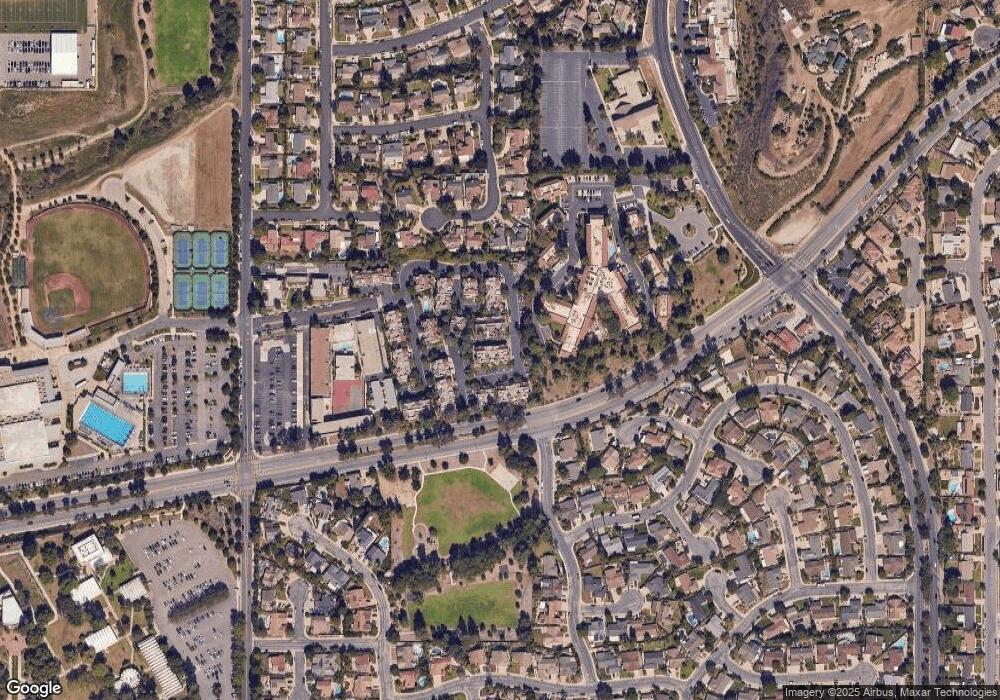
143 Mcafee Ct Thousand Oaks, CA 91360
Estimated Value: $552,817 - $579,000
3
Beds
2
Baths
1,143
Sq Ft
$498/Sq Ft
Est. Value
About This Home
This home is located at 143 Mcafee Ct, Thousand Oaks, CA 91360 and is currently estimated at $568,954, approximately $497 per square foot. 143 Mcafee Ct is a home located in Ventura County with nearby schools including Weathersfield Elementary School, Los Cerritos Middle School, and Thousand Oaks High School.
Ownership History
Date
Name
Owned For
Owner Type
Purchase Details
Closed on
Dec 10, 2010
Sold by
Finkelstein Ellen
Bought by
Goren Alon and Goren Nicole
Current Estimated Value
Home Financials for this Owner
Home Financials are based on the most recent Mortgage that was taken out on this home.
Original Mortgage
$236,340
Outstanding Balance
$156,383
Interest Rate
4.25%
Mortgage Type
FHA
Estimated Equity
$412,571
Purchase Details
Closed on
Oct 2, 2007
Sold by
Finkelstein Ellen
Bought by
Finkelstein Ellen
Create a Home Valuation Report for This Property
The Home Valuation Report is an in-depth analysis detailing your home's value as well as a comparison with similar homes in the area
Home Values in the Area
Average Home Value in this Area
Purchase History
| Date | Buyer | Sale Price | Title Company |
|---|---|---|---|
| Goren Alon | $260,000 | Chicago Title Company | |
| Finkelstein Ellen | -- | None Available |
Source: Public Records
Mortgage History
| Date | Status | Borrower | Loan Amount |
|---|---|---|---|
| Open | Goren Alon | $236,340 |
Source: Public Records
Tax History Compared to Growth
Tax History
| Year | Tax Paid | Tax Assessment Tax Assessment Total Assessment is a certain percentage of the fair market value that is determined by local assessors to be the total taxable value of land and additions on the property. | Land | Improvement |
|---|---|---|---|---|
| 2025 | $3,849 | $333,093 | $166,548 | $166,545 |
| 2024 | $3,849 | $326,562 | $163,282 | $163,280 |
| 2023 | $3,721 | $320,159 | $160,080 | $160,079 |
| 2022 | $3,652 | $313,882 | $156,941 | $156,941 |
| 2021 | $3,587 | $307,728 | $153,864 | $153,864 |
| 2020 | $3,185 | $304,576 | $152,288 | $152,288 |
| 2019 | $3,100 | $298,604 | $149,302 | $149,302 |
| 2018 | $3,037 | $292,750 | $146,375 | $146,375 |
| 2017 | $2,978 | $287,010 | $143,505 | $143,505 |
| 2016 | $2,949 | $281,384 | $140,692 | $140,692 |
| 2015 | $2,896 | $277,160 | $138,580 | $138,580 |
| 2014 | $2,854 | $271,732 | $135,866 | $135,866 |
Source: Public Records
Map
Nearby Homes
- 87 Mcafee Ct
- 190 Lucero St
- 71 Del Ray Cir
- 416 Camino Dos Palos
- 202 Faculty St
- 921 Calle Pinata
- 3097 Camino Del Zuro
- 2797 Beckett Ct
- 331 Briar Bluff Cir
- 2591 Sirius St
- 2669 Calle Bienvenido
- 485 Raindance St
- 731 Calle Nogal
- 226 Tennyson St
- 219 Sandberg St
- 4850 N Moorpark Rd
- 650 Calle Pensamiento
- 2340 Aldrich Cir
- 463 Serento Cir
- 1450 Corte de Primavera
- 137 Mcafee Ct
- 139 Mcafee Ct
- 141 Mcafee Ct
- 137 Mcafee Ct
- 151 Mcafee Ct
- 147 Mcafee Ct
- 149 Mcafee Ct
- 145 Mcafee Ct
- 165 Mcafee Ct
- 161 Mcafee Ct
- 157 Mcafee Ct
- 127 Mcafee Ct Unit 88
- 127 Mcafee Ct
- 153 Mcafee Ct
- 163 Mcafee Ct
- 135 Mcafee Ct Unit 92
- 135 Mcafee Ct
- 167 Mcafee Ct
- 159 Mcafee Ct Unit 70
- 119 Mcafee Ct
