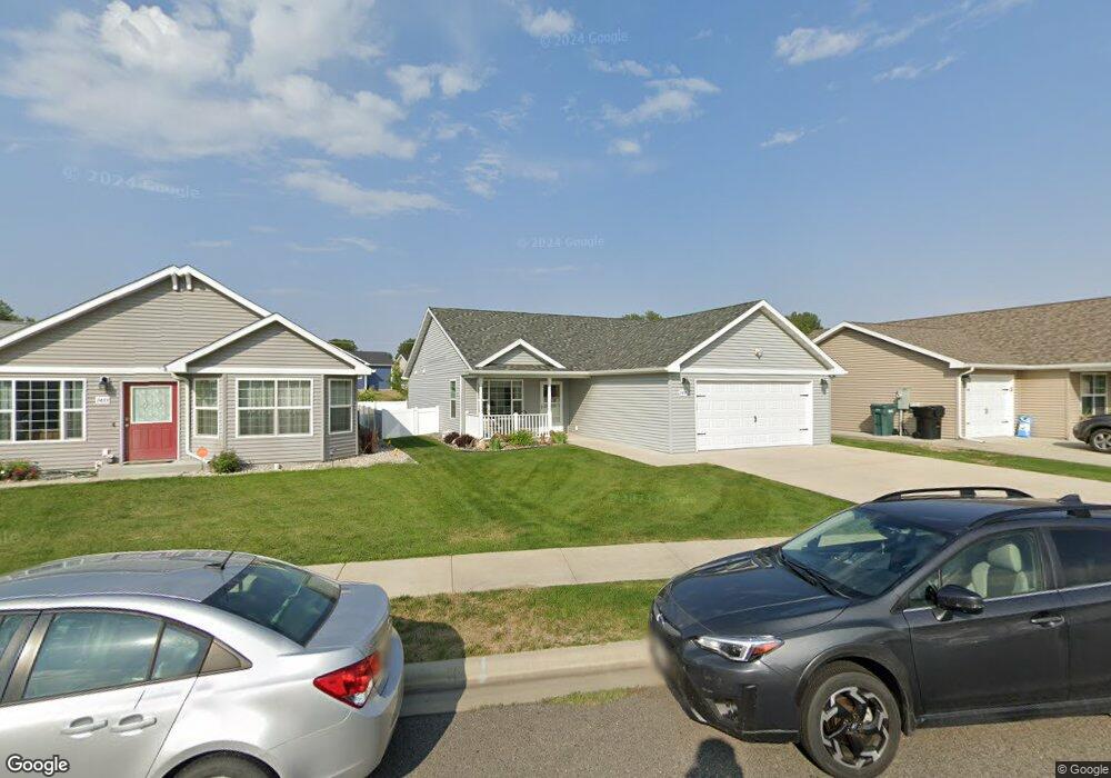
1431 Watson Peak Rd Billings, MT 59105
Billings Heights NeighborhoodEstimated Value: $329,000 - $418,000
3
Beds
2
Baths
1,368
Sq Ft
$266/Sq Ft
Est. Value
About This Home
This home is located at 1431 Watson Peak Rd, Billings, MT 59105 and is currently estimated at $364,092, approximately $266 per square foot. 1431 Watson Peak Rd is a home located in Yellowstone County with nearby schools including Bench School, Medicine Crow Middle School, and Skyview High School.
Ownership History
Date
Name
Owned For
Owner Type
Purchase Details
Closed on
Jun 7, 2024
Sold by
Knutson Lorraine M
Bought by
Cannon John G
Current Estimated Value
Home Financials for this Owner
Home Financials are based on the most recent Mortgage that was taken out on this home.
Original Mortgage
$202,875
Outstanding Balance
$200,360
Interest Rate
7.17%
Mortgage Type
New Conventional
Estimated Equity
$163,732
Purchase Details
Closed on
Oct 26, 2012
Sold by
Twin Oaks Corp
Bought by
Knutson Carl J and Knutson Lorraine M
Create a Home Valuation Report for This Property
The Home Valuation Report is an in-depth analysis detailing your home's value as well as a comparison with similar homes in the area
Home Values in the Area
Average Home Value in this Area
Purchase History
| Date | Buyer | Sale Price | Title Company |
|---|---|---|---|
| Cannon John G | -- | Chicago Title | |
| Knutson Carl J | -- | None Available |
Source: Public Records
Mortgage History
| Date | Status | Borrower | Loan Amount |
|---|---|---|---|
| Open | Cannon John G | $202,875 |
Source: Public Records
Tax History Compared to Growth
Tax History
| Year | Tax Paid | Tax Assessment Tax Assessment Total Assessment is a certain percentage of the fair market value that is determined by local assessors to be the total taxable value of land and additions on the property. | Land | Improvement |
|---|---|---|---|---|
| 2025 | $3,041 | $340,500 | $56,335 | $284,165 |
| 2024 | $3,041 | $299,900 | $54,056 | $245,844 |
| 2023 | $2,136 | $299,900 | $54,056 | $245,844 |
| 2022 | $1,552 | $220,100 | $0 | $0 |
| 2021 | $1,473 | $220,100 | $0 | $0 |
| 2020 | $1,477 | $211,000 | $0 | $0 |
| 2019 | $1,419 | $211,000 | $0 | $0 |
| 2018 | $1,321 | $199,400 | $0 | $0 |
| 2017 | $1,846 | $199,400 | $0 | $0 |
| 2016 | $2,058 | $186,300 | $0 | $0 |
| 2015 | $2,015 | $186,300 | $0 | $0 |
| 2014 | $1,949 | $95,823 | $0 | $0 |
Source: Public Records
Map
Nearby Homes
- 1422 Watson Peak Rd
- 1409 Twin Oaks Dr
- 10 Miners Place
- TBD Saint Andrews Dr
- 1485 Westchester Square E
- 1524 Westchester Square E
- 269 Westchester Square S
- 243 Westchester Square N Unit A2
- 130 132 Stillwater Ln
- 237 Prospectors Ln
- lot 12 Southern Sky Estates
- 218 Reda Ln Unit 3
- 218 Reda Ln Unit 4
- 69 Nugget Place
- 225 Windsor Cir N
- 104 Stillwater Ln
- 1703 Cody Dr
- 1034 Nutter Blvd
- 1612 Kelby Dr
- 1628 Kelby Dr
- 1433 Watson Peak Rd
- 1429 Watson Peak Rd
- 1435 Watson Peak Rd
- 1427 Watson Peak Rd
- 1407 Watson Peak Rd
- 1440 Watson Peak Rd
- 1437 Watson Peak Rd
- 1437 Watson Peak Rd
- 1444 Watson Peak Rd
- 1444 Watson Peak Rd
- 1423 Watson Peak Rd
- 1409 Watson Peak Rd
- 1409 Watson Peak Rd
- 1405 Watson Peak Rd
- 1436 Watson Peak Rd
- 1436 Watson Peak Rd
- 1432 Watson Peak Rd
- 1439 Watson Peak Rd
- 1439 Watson Peak Rd
- 1411 Watson Peak Rd