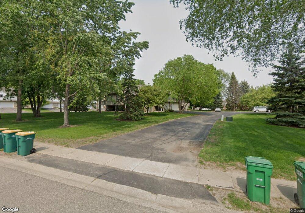
14314 Heywood Ave Saint Paul, MN 55124
Alimagnet NeighborhoodEstimated Value: $275,446 - $285,000
2
Beds
3
Baths
1,213
Sq Ft
$232/Sq Ft
Est. Value
About This Home
This home is located at 14314 Heywood Ave, Saint Paul, MN 55124 and is currently estimated at $281,112, approximately $231 per square foot. 14314 Heywood Ave is a home located in Dakota County with nearby schools including Westview Elementary School, Valley Middle School, and Apple Valley Senior High School.
Ownership History
Date
Name
Owned For
Owner Type
Purchase Details
Closed on
Sep 28, 2005
Sold by
Parke James
Bought by
Geoke Randal
Current Estimated Value
Purchase Details
Closed on
Dec 3, 2003
Sold by
Munson Richard L and Roszak Cynthia A
Bought by
Parke James
Purchase Details
Closed on
Aug 28, 2002
Sold by
Munson Richard L and Roszak Cynthia A
Bought by
Munson Richard L and Roszak Cynthia A
Purchase Details
Closed on
Jul 6, 1998
Sold by
Wold Robert S and Wold Mary J
Bought by
Roszak Cynthia A
Create a Home Valuation Report for This Property
The Home Valuation Report is an in-depth analysis detailing your home's value as well as a comparison with similar homes in the area
Home Values in the Area
Average Home Value in this Area
Purchase History
| Date | Buyer | Sale Price | Title Company |
|---|---|---|---|
| Geoke Randal | $192,900 | -- | |
| Parke James | $194,750 | -- | |
| Munson Richard L | -- | -- | |
| Roszak Cynthia A | $132,000 | -- |
Source: Public Records
Tax History Compared to Growth
Tax History
| Year | Tax Paid | Tax Assessment Tax Assessment Total Assessment is a certain percentage of the fair market value that is determined by local assessors to be the total taxable value of land and additions on the property. | Land | Improvement |
|---|---|---|---|---|
| 2024 | $2,584 | $249,900 | $49,100 | $200,800 |
| 2023 | $2,584 | $239,100 | $48,000 | $191,100 |
| 2022 | $2,254 | $241,400 | $47,900 | $193,500 |
| 2021 | $2,256 | $207,000 | $41,600 | $165,400 |
| 2020 | $2,204 | $203,000 | $39,700 | $163,300 |
| 2019 | $1,959 | $193,400 | $37,800 | $155,600 |
| 2018 | $2,569 | $182,300 | $35,000 | $147,300 |
| 2017 | $2,136 | $175,100 | $32,400 | $142,700 |
| 2016 | $2,335 | $160,700 | $30,800 | $129,900 |
| 2015 | $2,224 | $131,274 | $25,643 | $105,631 |
| 2014 | -- | $127,895 | $23,553 | $104,342 |
| 2013 | -- | $125,170 | $21,086 | $104,084 |
Source: Public Records
Map
Nearby Homes
- 14350 Hickory Way
- 14208 Heritage Ln
- 441 Walnut Ln
- 8681 144th Street Ct
- 14132 Heywood Path
- 249 Elm Dr
- 13910 Herald Ct
- 148 Spruce Dr
- 13902 Herald Way
- 13780 Hanover Way
- 14786 Hallmark Dr
- 13761 Hollybrook Cir
- 14709 White Oak Dr
- 13751 Hollybrook Cir
- 13731 Hollybrook Cir
- 13727 Hollybrook Cir
- The Magnolia Plan at Eagle Pointe - Townhomes
- The Sophia Plan at Eagle Pointe - Townhomes
- The Amelia Plan at Eagle Pointe - Townhomes
- The Nolan Plan at Eagle Pointe - Townhomes
- 14332 Heywood Ave
- 14316 Heywood Ave
- 8386 143rd St W
- 14330 Heywood Ave
- 14311 Hickory Way
- 14334 Heywood Ave
- 14302 Hickory Ct
- 14310 Hickory Way
- 14315 Hickory Way
- 14304 Hickory Ct
- 14346 Hickory Way
- 14314 Hickory Way
- 14336 Heywood Ave
- 14319 Hickory Way
- 14306 Hickory Ct
- 14342 Hickory Way
- 14318 Hickory Way
- 14352 Heywood Ave
- 14323 Hickory Way
- 8415 143rd St W