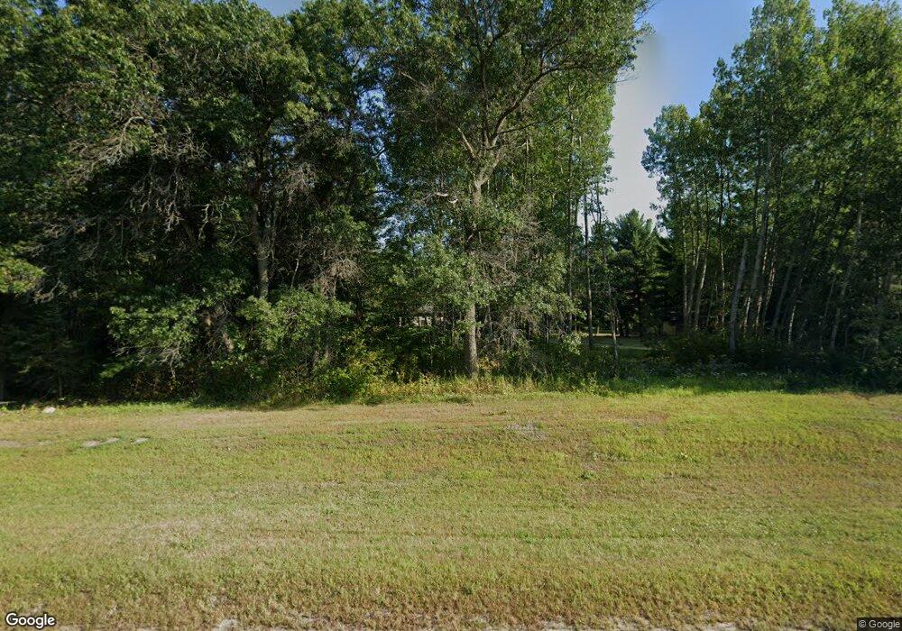
1432 Division St W Backus, MN 56435
Estimated Value: $314,000 - $402,615
3
Beds
2
Baths
1,032
Sq Ft
$341/Sq Ft
Est. Value
About This Home
This home is located at 1432 Division St W, Backus, MN 56435 and is currently estimated at $352,154, approximately $341 per square foot. 1432 Division St W is a home located in Cass County with nearby schools including Pine River-Backus Elementary School, Pine River-Backus High School, and Pine River-Backus Area Learning Center.
Ownership History
Date
Name
Owned For
Owner Type
Purchase Details
Closed on
Oct 17, 2017
Sold by
Roghair Henry R
Bought by
Taylor Gene F and Taylor Carole A
Current Estimated Value
Home Financials for this Owner
Home Financials are based on the most recent Mortgage that was taken out on this home.
Original Mortgage
$148,200
Outstanding Balance
$123,822
Interest Rate
3.83%
Mortgage Type
New Conventional
Estimated Equity
$228,332
Purchase Details
Closed on
Nov 29, 2012
Sold by
Federal National Mortgage Association
Bought by
Roghair Henry Robert
Home Financials for this Owner
Home Financials are based on the most recent Mortgage that was taken out on this home.
Original Mortgage
$50,000
Interest Rate
3.36%
Mortgage Type
Purchase Money Mortgage
Purchase Details
Closed on
Jul 1, 2005
Sold by
Skarp Debra E and Ettle Keith G
Bought by
Mid Minnesota Federal Credit Union
Create a Home Valuation Report for This Property
The Home Valuation Report is an in-depth analysis detailing your home's value as well as a comparison with similar homes in the area
Home Values in the Area
Average Home Value in this Area
Purchase History
| Date | Buyer | Sale Price | Title Company |
|---|---|---|---|
| Taylor Gene F | $156,000 | First American Title Company | |
| Roghair Henry Robert | -- | West Title Llc | |
| Mid Minnesota Federal Credit Union | $214,173 | None Available |
Source: Public Records
Mortgage History
| Date | Status | Borrower | Loan Amount |
|---|---|---|---|
| Open | Taylor Gene F | $148,200 | |
| Previous Owner | Roghair Henry Robert | $50,000 |
Source: Public Records
Tax History Compared to Growth
Tax History
| Year | Tax Paid | Tax Assessment Tax Assessment Total Assessment is a certain percentage of the fair market value that is determined by local assessors to be the total taxable value of land and additions on the property. | Land | Improvement |
|---|---|---|---|---|
| 2024 | $1,532 | $345,500 | $89,600 | $255,900 |
| 2023 | $1,290 | $307,800 | $80,800 | $227,000 |
| 2022 | $1,078 | $307,800 | $80,800 | $227,000 |
| 2021 | $1,058 | $204,500 | $51,400 | $153,100 |
| 2020 | $946 | $198,100 | $51,400 | $146,700 |
| 2019 | $894 | $163,500 | $46,400 | $117,100 |
| 2018 | $910 | $160,500 | $43,400 | $117,100 |
| 2017 | $954 | $160,500 | $43,400 | $117,100 |
| 2016 | $842 | $0 | $0 | $0 |
| 2015 | $842 | $153,300 | $49,700 | $103,600 |
| 2014 | $768 | $0 | $0 | $0 |
Source: Public Records
Map
Nearby Homes
- 1546 Division St W
- TBD Harriet Lake Trail NW
- 1378 Larrup Trail SW
- 344 County 118 NW
- 3312 County Road 56
- TBD Timber Wolf Trail SW
- 5296 County Road 56
- 1697_ 12th St SW
- 1697 12th St SW
- Tbd 12th St SW
- 1022 Rock Elm Trail NW
- 1465 State 84 NW
- 1238 26th Ave NW
- TBD Co 49
- 93 County 49 NW
- 1932 17th St NW
- 1764 State 84 SW
- 2247 Deep Portage Dr NW
- 1088 W Big Portage Lake Dr NW
- TBD 32nd Ave SW
- 1432 Division St W
- 1460 Division St W
- 1460 Division St W
- 1492 Division St W
- 1466 Division St W
- 74 74 Lynx Ln
- TBD Lot 6 Division St W
- 74 Lynx Ln
- 74 Lynx Ln
- 1546 Division St W
- 1554 1554 Divison St
- 1554 1554 Division St W
- 1554 Division St W
- XXX Harriet Path
- 1301 Division St W
- 0 Division St W
- TBD S Harriet Path
- 1556 Division St W
- 60 S Harriet Path NW
- 60 S Harriet Path NW
