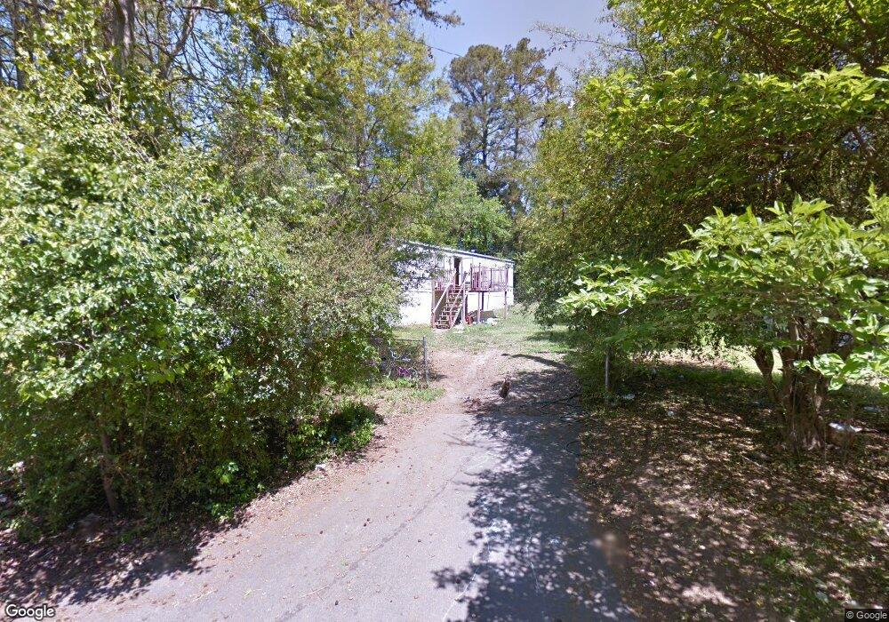
1432 Neighbor Ln Fort Mill, SC 29715
Estimated Value: $140,465 - $370,000
--
Bed
--
Bath
1,120
Sq Ft
$228/Sq Ft
Est. Value
About This Home
This home is located at 1432 Neighbor Ln, Fort Mill, SC 29715 and is currently estimated at $255,366, approximately $228 per square foot. 1432 Neighbor Ln is a home located in York County with nearby schools including Riverview Elementary School, Banks Trail Middle School, and Fort Mill High School.
Ownership History
Date
Name
Owned For
Owner Type
Purchase Details
Closed on
Oct 7, 2024
Sold by
Mcclure Karen Denise Armstrong
Bought by
Armstrong Deanna L
Current Estimated Value
Purchase Details
Closed on
Jul 26, 2022
Sold by
Armstrong Price Ashley
Bought by
Armstrong Sheneka Deverne
Purchase Details
Closed on
Jul 18, 2022
Sold by
Levi Armstrong Sr Ronnie
Bought by
Price Ashley Armstrong and Armstrong Sheneka Deverne
Purchase Details
Closed on
Dec 3, 2021
Sold by
Armstrong Deanna Lequatinee and Estate Of Karen Denise Armstro
Bought by
Armstrong Deanna L
Purchase Details
Closed on
Feb 25, 2013
Sold by
The Bank Of New York Mellon
Bought by
Armstrong Ronnie Levi and Armstrong Mamie L
Purchase Details
Closed on
Sep 14, 2012
Sold by
Lowery Willie Mae
Bought by
The Bank Of New York Mellon and The Bank Of New York
Create a Home Valuation Report for This Property
The Home Valuation Report is an in-depth analysis detailing your home's value as well as a comparison with similar homes in the area
Home Values in the Area
Average Home Value in this Area
Purchase History
| Date | Buyer | Sale Price | Title Company |
|---|---|---|---|
| Armstrong Deanna L | -- | None Listed On Document | |
| Armstrong Sheneka Deverne | -- | None Listed On Document | |
| Price Ashley Armstrong | -- | None Listed On Document | |
| Armstrong Deanna L | -- | None Available | |
| Turner Robert Pernell Armstrong | -- | None Available | |
| Armstrong Ronnie Levi | $7,000 | -- | |
| The Bank Of New York Mellon | $5,000 | -- |
Source: Public Records
Tax History Compared to Growth
Tax History
| Year | Tax Paid | Tax Assessment Tax Assessment Total Assessment is a certain percentage of the fair market value that is determined by local assessors to be the total taxable value of land and additions on the property. | Land | Improvement |
|---|---|---|---|---|
| 2024 | $386 | $2,192 | $1,600 | $592 |
| 2023 | $372 | $2,192 | $1,600 | $592 |
| 2022 | $368 | $3,288 | $2,400 | $888 |
| 2021 | $1,178 | $2,863 | $2,090 | $773 |
| 2020 | $1,178 | $2,863 | $0 | $0 |
| 2019 | $340 | $1,660 | $0 | $0 |
| 2018 | $361 | $1,660 | $0 | $0 |
| 2017 | $341 | $1,660 | $0 | $0 |
| 2016 | $339 | $1,660 | $0 | $0 |
| 2014 | $10 | $1,660 | $1,000 | $660 |
| 2013 | $10 | $2,120 | $1,400 | $720 |
Source: Public Records
Map
Nearby Homes
- 757 Jones Branch Rd
- 705 Jones Branch Rd
- 740 Jones Branch Rd
- 1528 Spring Blossom Trail
- 1541 Spring Blossom Trail
- 1540 Nichole Ln
- 1629 & 1631 Harris Rd
- 113 Dogwood Ln
- 1214 Brook Crest Ln
- 105 Lyman Oak Ct
- 1662 Sam Smith Rd
- 1628 Spring Blossom Trail
- 139 Creekside Dr
- 280 Tail Race Ln
- 507 Delta Dr
- 804 Eddy Dr
- 126 Rhett Ct
- 160 First St N
- 150 1st St N
- 0000 Alfred Ln
- 1432 Neighbor Ln
- 1438 Neighbor Ln
- 1435 Harris Rd
- 1431 Harris Rd
- 1429 Neighbor Ln
- 1420 Neighbor Ln
- 1425 Harris Rd
- 926 Murphy Ct
- 1421 Harris Rd
- 1445 Harris Rd
- 929 Murphy Ct
- 922 Murphy Ct
- 781 Jones Branch Rd
- 777 Jones Branch Rd
- 1439 Harris Rd
- 773 Jones Branch Rd
- 785 Jones Branch Rd
- 769 Jones Branch Rd
- 139 Epps Rd
- 925 Murphy Ct