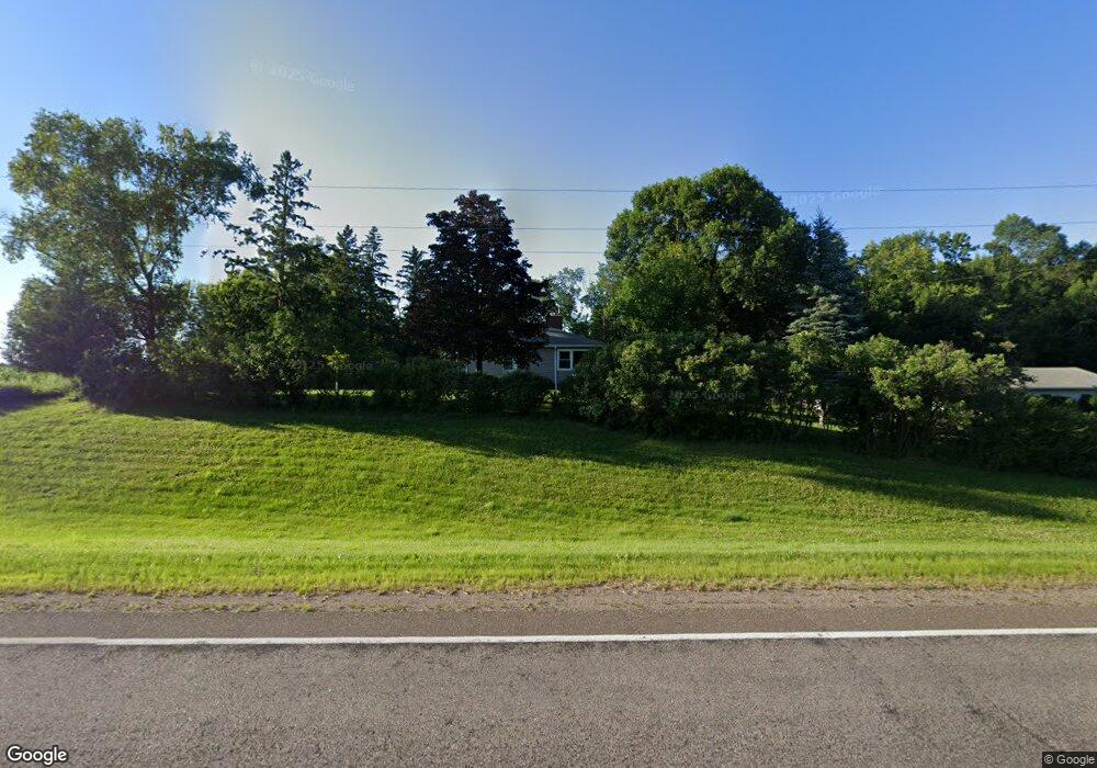
1435 389th Ave NE Stanchfield, MN 55080
Estimated Value: $214,000 - $310,000
2
Beds
1
Bath
1,122
Sq Ft
$231/Sq Ft
Est. Value
About This Home
This home is located at 1435 389th Ave NE, Stanchfield, MN 55080 and is currently estimated at $259,104, approximately $230 per square foot. 1435 389th Ave NE is a home located in Isanti County with nearby schools including Braham Elementary School and Braham Area High School.
Ownership History
Date
Name
Owned For
Owner Type
Purchase Details
Closed on
Jul 31, 2024
Sold by
Carlson Tammy and Carlson Jason
Bought by
Johnson Thomas
Current Estimated Value
Home Financials for this Owner
Home Financials are based on the most recent Mortgage that was taken out on this home.
Original Mortgage
$190,000
Outstanding Balance
$187,678
Interest Rate
6.87%
Mortgage Type
New Conventional
Estimated Equity
$71,426
Create a Home Valuation Report for This Property
The Home Valuation Report is an in-depth analysis detailing your home's value as well as a comparison with similar homes in the area
Home Values in the Area
Average Home Value in this Area
Purchase History
| Date | Buyer | Sale Price | Title Company |
|---|---|---|---|
| Johnson Thomas | $200,000 | -- |
Source: Public Records
Mortgage History
| Date | Status | Borrower | Loan Amount |
|---|---|---|---|
| Open | Johnson Thomas | $190,000 |
Source: Public Records
Tax History Compared to Growth
Tax History
| Year | Tax Paid | Tax Assessment Tax Assessment Total Assessment is a certain percentage of the fair market value that is determined by local assessors to be the total taxable value of land and additions on the property. | Land | Improvement |
|---|---|---|---|---|
| 2025 | $1,726 | $214,200 | $65,100 | $149,100 |
| 2024 | $1,744 | $212,800 | $65,100 | $147,700 |
| 2023 | $1,690 | $212,800 | $65,100 | $147,700 |
| 2022 | $1,518 | $192,700 | $61,700 | $131,000 |
| 2021 | $1,330 | $152,100 | $51,500 | $100,600 |
| 2020 | $1,366 | $132,000 | $51,500 | $80,500 |
| 2019 | $1,312 | $131,900 | $0 | $0 |
| 2018 | $1,130 | $90,200 | $0 | $0 |
| 2016 | $984 | $0 | $0 | $0 |
| 2015 | $954 | $0 | $0 | $0 |
| 2014 | -- | $0 | $0 | $0 |
| 2013 | -- | $0 | $0 | $0 |
Source: Public Records
Map
Nearby Homes
- 1788 397th Ave NE
- TBD Minnesota 65
- 0000 375th Ave NW
- 40525 Highway 65 NE
- TBD Lever Dr NE
- 1005 Lincoln Cir
- 810 Southview Ave
- 2993 361st Ave NE
- 35660 Palisade Dr NE
- 37540 Lever St NE
- 900 Shady Ridge Ln
- 2200 405th Ave NW
- 36287 Vickers Dr NE
- 35341 Hastings St NE
- TBD 405th Ave NW
- 37675 Verdin St NW
- 432 2nd St SE
- 310 Pinto Cir
- 211 Appaloosa Ct
- 209 Appaloosa Ct
- 1347 389th Ave NE
- 1426 389th Ave NE
- 38675 Central Dr NE
- 1493 389th Ave NE
- 39151 Polk St NE
- Lot 1 Polk St NE
- 00000 Polk St NE
- xxx Acacia Ln
- 38733 Polk St NE
- xxxx Central Ave
- 39278 Polk St NE
- 38640 Polk St NE
- 38694 Polk St NE
- 1610 397th Ave NE
- XXXX Xeon St NW
- Parcel C & D 381st Ave NE
- XXXX Highway 107 NE
- XXXX 379 Ave NE
- 28xx 337th Ln Nw Ln NW
- XXX NE 379 Ave NE