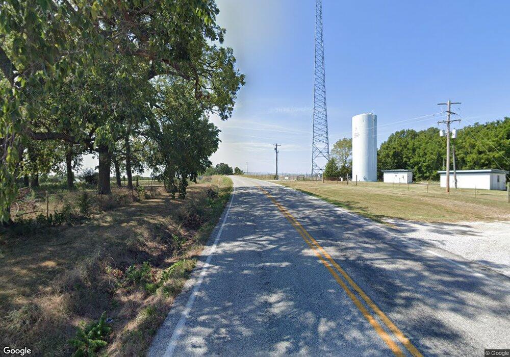
14363 Route E Pineville, MO 64856
Estimated Value: $200,607 - $300,000
3
Beds
--
Bath
1,560
Sq Ft
$160/Sq Ft
Est. Value
About This Home
This home is located at 14363 Route E, Pineville, MO 64856 and is currently estimated at $250,304, approximately $160 per square foot. 14363 Route E is a home with nearby schools including McDonald County High School.
Ownership History
Date
Name
Owned For
Owner Type
Purchase Details
Closed on
Feb 11, 2014
Sold by
Lockhart Karrie D
Bought by
Mcburnett Lindsay S and Mcburnett Allen L
Current Estimated Value
Home Financials for this Owner
Home Financials are based on the most recent Mortgage that was taken out on this home.
Original Mortgage
$140,125
Outstanding Balance
$106,111
Interest Rate
4.47%
Mortgage Type
New Conventional
Estimated Equity
$144,193
Purchase Details
Closed on
May 3, 2011
Sold by
National Loan Investors Lp
Bought by
Lockhart Carl D and Lockhart Karrie D
Home Financials for this Owner
Home Financials are based on the most recent Mortgage that was taken out on this home.
Original Mortgage
$120,000
Interest Rate
4.86%
Mortgage Type
Purchase Money Mortgage
Purchase Details
Closed on
Feb 12, 2010
Sold by
Howard L Mcdaniel Trust
Bought by
National Loan Investors Lp
Create a Home Valuation Report for This Property
The Home Valuation Report is an in-depth analysis detailing your home's value as well as a comparison with similar homes in the area
Purchase History
| Date | Buyer | Sale Price | Title Company |
|---|---|---|---|
| Mcburnett Lindsay S | -- | None Available | |
| Mcburnett Lindsay S | -- | None Available | |
| Lockhart Carl D | -- | None Available | |
| National Loan Investors Lp | $200,000 | None Available |
Source: Public Records
Mortgage History
| Date | Status | Borrower | Loan Amount |
|---|---|---|---|
| Open | Mcburnett Lindsay S | $140,125 | |
| Closed | Mcburnett Lindsay S | $140,125 | |
| Closed | Mcburnett Lindsay S | $40,474 | |
| Previous Owner | Lockhart Carl D | $120,000 |
Source: Public Records
Tax History
| Year | Tax Paid | Tax Assessment Tax Assessment Total Assessment is a certain percentage of the fair market value that is determined by local assessors to be the total taxable value of land and additions on the property. | Land | Improvement |
|---|---|---|---|---|
| 2025 | $688 | $17,460 | $0 | $0 |
| 2024 | $688 | $16,140 | $0 | $0 |
| 2023 | $688 | $16,140 | $0 | $0 |
| 2022 | $688 | $16,140 | $0 | $0 |
| 2021 | $688 | $16,140 | $0 | $0 |
| 2020 | $612 | $14,310 | $0 | $0 |
| 2019 | $612 | $14,310 | $0 | $0 |
| 2018 | $570 | $14,330 | $0 | $0 |
| 2017 | $570 | $14,330 | $0 | $0 |
| 2016 | $548 | $13,760 | $0 | $0 |
| 2015 | -- | $13,760 | $0 | $0 |
| 2014 | -- | $13,740 | $0 | $0 |
Source: Public Records
Map
Nearby Homes
- 3 Houghton Ln
- 12 Shildon Cir
- 3 Arrow Dr
- 13 Berwick Ln
- 4 Hart Ln
- 6 Hart Ln
- 50 Claxton Dr
- Lot 1 of Block 1 Claxton Dr
- 0 Coquet Ln Unit 1326746
- 16 Celtic Dr
- 3 Celtic Dr
- 13247 Route E
- Lot 1 of Block 1 E Lancashire Blvd Ar-340
- 17145 N Highway 94
- 5 Saint Asaph Dr
- 4 Rushden Ln
- 8 Cranfield Dr
- 8 Ampthill Ln
- 4 Ampthill Ln
- 0 Cress Ln
- 14203 Route E
- 14366 Route E
- 14362 NE E Hwy
- 14362 Ne Hwy E
- 14558 Route E
- 13 Ac Chestnut Ln
- 494 Chestnut Ln
- 14214 Route E
- 14160 Route E
- 13893 E Rt Hwy
- 14611 Route E
- 14611 Route E
- 14647 Route E
- 14664 Route E
- 14647 State Route E
- 102 Chestnut Ln
- 11 Black Jack E Hwy Ln
- 11 Blackjack Ln
- 13945 Route E
- Rt2 Box 2403
