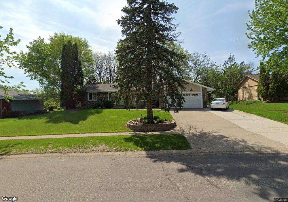
14371 Garland Ave Saint Paul, MN 55124
Scott Highlands NeighborhoodEstimated Value: $414,000 - $443,000
4
Beds
3
Baths
1,422
Sq Ft
$303/Sq Ft
Est. Value
About This Home
This home is located at 14371 Garland Ave, Saint Paul, MN 55124 and is currently estimated at $430,193, approximately $302 per square foot. 14371 Garland Ave is a home located in Dakota County with nearby schools including Greenleaf Elementary School, Falcon Ridge Middle School, and Apple Valley Senior High School.
Ownership History
Date
Name
Owned For
Owner Type
Purchase Details
Closed on
Mar 2, 2001
Sold by
St Ores Donald W and St Ores Jane E
Bought by
Svaren Peter J and Svaren Janice L
Current Estimated Value
Purchase Details
Closed on
May 28, 1998
Sold by
Selner Gregory J and Selner Brenda Jo
Bought by
Stores Donald W and Stores Jane
Create a Home Valuation Report for This Property
The Home Valuation Report is an in-depth analysis detailing your home's value as well as a comparison with similar homes in the area
Home Values in the Area
Average Home Value in this Area
Purchase History
| Date | Buyer | Sale Price | Title Company |
|---|---|---|---|
| Svaren Peter J | $192,000 | -- | |
| Stores Donald W | $144,800 | -- |
Source: Public Records
Tax History Compared to Growth
Tax History
| Year | Tax Paid | Tax Assessment Tax Assessment Total Assessment is a certain percentage of the fair market value that is determined by local assessors to be the total taxable value of land and additions on the property. | Land | Improvement |
|---|---|---|---|---|
| 2024 | $4,614 | $394,400 | $87,100 | $307,300 |
| 2023 | $4,614 | $407,000 | $87,300 | $319,700 |
| 2022 | $3,788 | $384,000 | $87,000 | $297,000 |
| 2021 | $3,638 | $330,700 | $77,100 | $253,600 |
| 2020 | $3,702 | $312,100 | $73,500 | $238,600 |
| 2019 | $3,297 | $308,200 | $70,000 | $238,200 |
| 2018 | $3,146 | $288,700 | $66,600 | $222,100 |
| 2017 | $3,072 | $265,500 | $63,500 | $202,000 |
| 2016 | $3,089 | $247,700 | $60,400 | $187,300 |
| 2015 | $2,653 | $231,336 | $55,675 | $175,661 |
| 2014 | -- | $199,181 | $52,435 | $146,746 |
| 2013 | -- | $188,608 | $48,062 | $140,546 |
Source: Public Records
Map
Nearby Homes
- 14461 Freesia Way
- 14144 Garland Ave
- 14620 Garrett Ave Unit 310
- 14217 Footbridge Way
- 7342 Upper 139th St W
- 14242 Glencove Trail
- 7662 142nd St W
- 14440 Flax Way
- 14057 Flintwood Ct
- 13954 Flagstaff Ct
- 13947 Fleetwood Ave
- 7291 Upper 136th St W
- 13720 Georgia Dr
- 13868 Glendale Ct
- 7577 138th St W
- 13715 Grafton Ct
- 14080 Guthrie Ave
- 7070 153rd St W Unit 211
- 13660 Gurney Path
- 15323 Foliage Ave
- 14359 Garland Ave
- 14383 Garland Ave
- 14376 Garland Ave
- 14347 Garland Ave
- 14397 Garland Ave
- 14360 Garland Ave
- 14384 Garland Ave
- 14335 Garland Ave
- 14357 Gannon Way
- 14402 Garland Ave
- 14413 Garland Ave
- 14344 Garland Ave
- 14379 Gannon Way
- 14317 Garland Ave
- 14418 Garland Ave
- 14427 Garland Ave
- 14391 Gannon Way
- 14346 Gannon Way
- 14326 Garland Ave
- 14434 Garland Ave