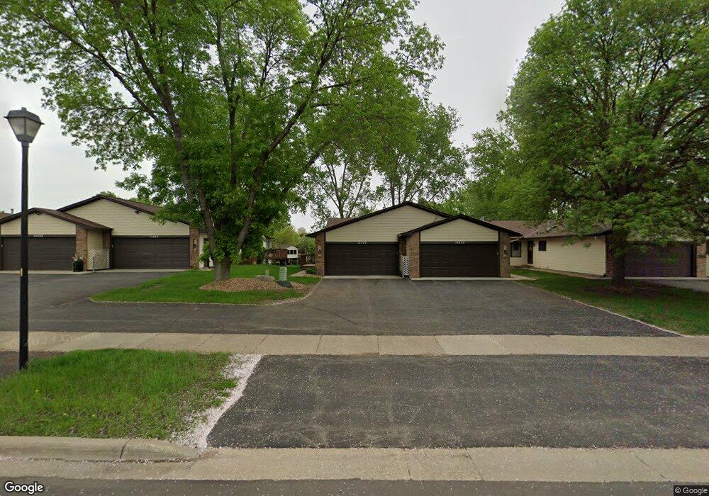
14372 Pennock Ave Saint Paul, MN 55124
Downtown Apple Valley NeighborhoodEstimated Value: $297,000 - $316,000
2
Beds
2
Baths
1,303
Sq Ft
$236/Sq Ft
Est. Value
About This Home
This home is located at 14372 Pennock Ave, Saint Paul, MN 55124 and is currently estimated at $307,524, approximately $236 per square foot. 14372 Pennock Ave is a home located in Dakota County with nearby schools including Westview Elementary School, Valley Middle School, and Apple Valley Senior High School.
Ownership History
Date
Name
Owned For
Owner Type
Purchase Details
Closed on
May 26, 2005
Sold by
Lauwagie Steven C and Lauwagie Roxanne M
Bought by
Amey Robert R and Amey Catherine M
Current Estimated Value
Purchase Details
Closed on
Oct 15, 1996
Sold by
Brown Bruce W and Brown Rebecca C
Bought by
Lauwagie Steven C and Lauwagie Roxanne M
Create a Home Valuation Report for This Property
The Home Valuation Report is an in-depth analysis detailing your home's value as well as a comparison with similar homes in the area
Home Values in the Area
Average Home Value in this Area
Purchase History
| Date | Buyer | Sale Price | Title Company |
|---|---|---|---|
| Amey Robert R | $215,500 | -- | |
| Lauwagie Steven C | $111,900 | -- |
Source: Public Records
Tax History Compared to Growth
Tax History
| Year | Tax Paid | Tax Assessment Tax Assessment Total Assessment is a certain percentage of the fair market value that is determined by local assessors to be the total taxable value of land and additions on the property. | Land | Improvement |
|---|---|---|---|---|
| 2024 | $3,252 | $287,200 | $48,000 | $239,200 |
| 2023 | $3,252 | $294,300 | $47,000 | $247,300 |
| 2022 | $2,716 | $277,900 | $46,800 | $231,100 |
| 2021 | $2,600 | $244,300 | $40,700 | $203,600 |
| 2020 | $2,694 | $230,100 | $38,800 | $191,300 |
| 2019 | $2,323 | $231,000 | $36,900 | $194,100 |
| 2018 | $2,219 | $211,200 | $34,200 | $177,000 |
| 2017 | $2,128 | $195,200 | $31,700 | $163,500 |
| 2016 | $2,012 | $179,900 | $30,200 | $149,700 |
| 2015 | $1,723 | $147,951 | $25,776 | $122,175 |
| 2014 | -- | $126,805 | $23,002 | $103,803 |
| 2013 | -- | $105,986 | $19,761 | $86,225 |
Source: Public Records
Map
Nearby Homes
- 14242 Glencove Trail
- 7662 142nd St W
- 14115 Pennock Ave Unit 301
- 14115 Pennock Ave Unit 303
- 14620 Garrett Ave Unit 310
- 14620 Garrett Ave Unit 104
- 13780 Hanover Way
- 14786 Hallmark Dr
- 14208 Heritage Ln
- 7577 138th St W
- 13902 Herald Way
- 13868 Glendale Ct
- 13910 Herald Ct
- 13720 Georgia Dr
- 13715 Grafton Ct
- 14132 Heywood Path
- 14461 Freesia Way
- 834 Fireside Dr
- 441 Walnut Ln
- 13420 Gull Ct
- 14378 Pennock Ave
- 14382 Pennock Ave
- 14358 Pennock Ave
- 14388 Pennock Ave
- 14352 Pennock Ave
- 14348 Pennock Ave
- 14398 Pennock Ave
- 14402 Pennock Ave
- 14408 Pennock Ave
- 14412 Pennock Ave
- 14424 Lower Guthrie Ct
- 14331 Glenda Dr
- 14329 Glenda Dr
- 14327 Glenda Dr
- 14325 Glenda Dr
- 14319 Glenda Dr
- 14317 Glenda Dr
- 14313 Glenda Dr
- 14422 Pennock Ave
- 14337 Glenda Dr