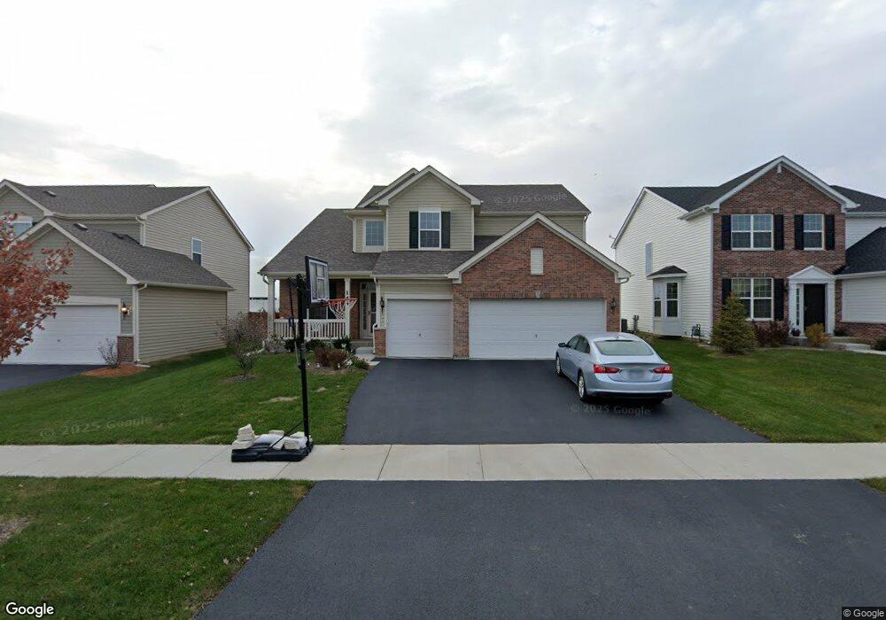
144 Abbott Ct Bartlett, IL 60103
Estimated Value: $562,436 - $620,000
4
Beds
3
Baths
2,612
Sq Ft
$226/Sq Ft
Est. Value
About This Home
This home is located at 144 Abbott Ct, Bartlett, IL 60103 and is currently estimated at $590,859, approximately $226 per square foot. 144 Abbott Ct is a home located in DuPage County with nearby schools including Nature Ridge Elementary School, Kenyon Woods Middle School, and South Elgin High School.
Ownership History
Date
Name
Owned For
Owner Type
Purchase Details
Closed on
Apr 13, 2017
Sold by
Calatlantic Group Inc
Bought by
Desai Kalpesh A and Desai Dipti K
Current Estimated Value
Home Financials for this Owner
Home Financials are based on the most recent Mortgage that was taken out on this home.
Original Mortgage
$300,536
Interest Rate
3.5%
Mortgage Type
Adjustable Rate Mortgage/ARM
Purchase Details
Closed on
Jul 27, 2016
Sold by
Bluff City Llc
Bought by
Calatlantic Group Inc
Create a Home Valuation Report for This Property
The Home Valuation Report is an in-depth analysis detailing your home's value as well as a comparison with similar homes in the area
Home Values in the Area
Average Home Value in this Area
Purchase History
| Date | Buyer | Sale Price | Title Company |
|---|---|---|---|
| Desai Kalpesh A | $376,000 | First American Title | |
| Calatlantic Group Inc | $910,000 | Chicago Title Insurance Co |
Source: Public Records
Mortgage History
| Date | Status | Borrower | Loan Amount |
|---|---|---|---|
| Previous Owner | Desai Kalpesh A | $300,536 |
Source: Public Records
Tax History
| Year | Tax Paid | Tax Assessment Tax Assessment Total Assessment is a certain percentage of the fair market value that is determined by local assessors to be the total taxable value of land and additions on the property. | Land | Improvement |
|---|---|---|---|---|
| 2024 | $12,255 | $154,543 | $35,479 | $119,064 |
| 2023 | $11,689 | $139,077 | $32,053 | $107,024 |
| 2022 | $11,077 | $126,814 | $29,227 | $97,587 |
| 2021 | $10,535 | $118,562 | $27,325 | $91,237 |
| 2020 | $10,476 | $113,186 | $26,086 | $87,100 |
| 2019 | $9,907 | $107,817 | $24,849 | $82,968 |
| 2018 | $10,492 | $112,528 | $23,409 | $89,119 |
| 2017 | $7,544 | $78,679 | $22,130 | $56,549 |
| 2016 | $167 | $1,654 | $1,654 | $0 |
Source: Public Records
Map
Nearby Homes
- 2068 Norwich Dr
- 220 Carroll Way
- 1969 Osprey Ct Unit 223
- 1916 Blue Heron Cir
- 19 N East Ave
- 995 Bluff Quarry Dr
- 645 E State St
- 3 S South Elgin Blvd
- 1088 Center Dr
- 1040 Moraine Dr
- 521 E Spring Ave
- 1004 Atterberg Rd
- 399 Fulton St Unit 2
- 10 N Gilbert St Unit 314
- 10 N Gilbert St Unit 217
- 1701 Deer Pointe Dr
- 1480 Raymond St
- 339 Hartman Ct
- 1630 Raymond St
- 127 5th Ave
Your Personal Tour Guide
Ask me questions while you tour the home.