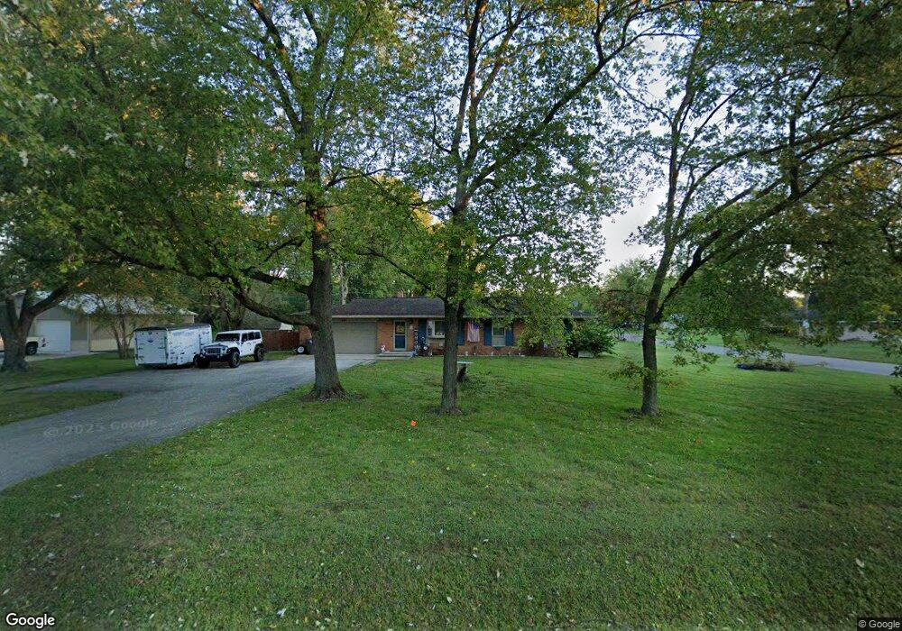
144 E Southport Rd Indianapolis, IN 46227
Linden Wood NeighborhoodEstimated Value: $218,000 - $234,000
3
Beds
2
Baths
1,134
Sq Ft
$198/Sq Ft
Est. Value
About This Home
This home is located at 144 E Southport Rd, Indianapolis, IN 46227 and is currently estimated at $224,708, approximately $198 per square foot. 144 E Southport Rd is a home located in Marion County with nearby schools including William Henry Burkhart Elementary School, Perry Meridian 6th Grade Academy, and Perry Meridian Middle School.
Ownership History
Date
Name
Owned For
Owner Type
Purchase Details
Closed on
Dec 10, 2009
Sold by
Knisely Kirk M and Garten Mellene Sandra M
Bought by
Knisely Kirk M
Current Estimated Value
Home Financials for this Owner
Home Financials are based on the most recent Mortgage that was taken out on this home.
Original Mortgage
$101,383
Outstanding Balance
$66,128
Interest Rate
4.9%
Mortgage Type
FHA
Estimated Equity
$158,580
Create a Home Valuation Report for This Property
The Home Valuation Report is an in-depth analysis detailing your home's value as well as a comparison with similar homes in the area
Home Values in the Area
Average Home Value in this Area
Purchase History
| Date | Buyer | Sale Price | Title Company |
|---|---|---|---|
| Knisely Kirk M | -- | Reo Title Services Llc | |
| Knisely Kirk M | -- | Reo Title Services |
Source: Public Records
Mortgage History
| Date | Status | Borrower | Loan Amount |
|---|---|---|---|
| Open | Knisely Kirk M | $101,383 | |
| Closed | Knisely Kirk M | $101,383 |
Source: Public Records
Tax History Compared to Growth
Tax History
| Year | Tax Paid | Tax Assessment Tax Assessment Total Assessment is a certain percentage of the fair market value that is determined by local assessors to be the total taxable value of land and additions on the property. | Land | Improvement |
|---|---|---|---|---|
| 2024 | $2,140 | $179,800 | $33,700 | $146,100 |
| 2023 | $2,140 | $169,300 | $33,700 | $135,600 |
| 2022 | $2,093 | $154,400 | $33,700 | $120,700 |
| 2021 | $1,908 | $141,500 | $33,700 | $107,800 |
| 2020 | $1,499 | $119,400 | $33,700 | $85,700 |
| 2019 | $1,483 | $118,700 | $20,200 | $98,500 |
| 2018 | $1,241 | $105,900 | $20,200 | $85,700 |
| 2017 | $1,283 | $108,400 | $20,200 | $88,200 |
| 2016 | $1,239 | $105,500 | $20,200 | $85,300 |
| 2014 | $1,112 | $110,100 | $20,200 | $89,900 |
| 2013 | $1,194 | $110,100 | $20,200 | $89,900 |
Source: Public Records
Map
Nearby Homes
- 410 E Southport Rd
- 232 Bangor Dr
- 6712 Forrest Commons Blvd
- 6560 Hi Vu Dr
- 6643 S New Jersey St
- 125 E Waterbury Rd
- 115 Jordan Rd
- 6520 Forrest Commons Blvd
- 234 E Hickory Ln
- 27 Forrests Edge Ct
- 7017 Chimney Rock Ct
- 246 Griffin Rd
- 136 W Loretta Dr
- 20 Forrests Edge Ct
- 7445 Melanie Ln
- 7528 S New Jersey St
- 7467 Woodshire Place
- 931 Maynard Dr
- 7011 Mclain Dr
- 618 Reda Rd
- 6934 Brill Rd
- 250 E Southport Rd
- 6926 Brill Rd
- 140 E Southport Rd
- 6931 Brill Rd
- 6916 Brill Rd
- 306 E Southport Rd
- 305 E Venoy Dr
- 195 E Venoy Dr
- 141 E Southport Rd
- 6915 Brill Rd
- 193 E Venoy Dr
- 130 E Southport Rd
- 6915 S Brill Rd
- 318 E Southport Rd
- 189 E Venoy Dr
- 317 E Venoy Dr
- 306 E Venoy Dr
- 6903 Brill Rd