144 High Meadow Rd Newbury, NH 03255
Estimated Value: $999,000 - $1,316,000
3
Beds
2
Baths
4,083
Sq Ft
$293/Sq Ft
Est. Value
About This Home
This home is located at 144 High Meadow Rd, Newbury, NH 03255 and is currently estimated at $1,194,466, approximately $292 per square foot. 144 High Meadow Rd is a home located in Merrimack County with nearby schools including Kearsarge Regional Elementary School at Bradford, Kearsarge Regional Middle School, and Kearsarge Regional High School.
Ownership History
Date
Name
Owned For
Owner Type
Purchase Details
Closed on
May 29, 1996
Sold by
Bell Robert W and Bell Lynne M
Bought by
Valovic John and Valovic Monica L
Current Estimated Value
Home Financials for this Owner
Home Financials are based on the most recent Mortgage that was taken out on this home.
Original Mortgage
$44,000
Interest Rate
7.91%
Create a Home Valuation Report for This Property
The Home Valuation Report is an in-depth analysis detailing your home's value as well as a comparison with similar homes in the area
Home Values in the Area
Average Home Value in this Area
Purchase History
| Date | Buyer | Sale Price | Title Company |
|---|---|---|---|
| Valovic John | $70,000 | -- |
Source: Public Records
Mortgage History
| Date | Status | Borrower | Loan Amount |
|---|---|---|---|
| Open | Valovic John | $382,000 | |
| Closed | Valovic John | $44,000 |
Source: Public Records
Tax History Compared to Growth
Tax History
| Year | Tax Paid | Tax Assessment Tax Assessment Total Assessment is a certain percentage of the fair market value that is determined by local assessors to be the total taxable value of land and additions on the property. | Land | Improvement |
|---|---|---|---|---|
| 2024 | $12,058 | $923,965 | $347,665 | $576,300 |
| 2023 | $12,058 | $923,965 | $347,665 | $576,300 |
| 2022 | $10,915 | $959,149 | $382,849 | $576,300 |
| 2021 | $10,914 | $959,094 | $382,794 | $576,300 |
| 2020 | $10,706 | $648,033 | $236,233 | $411,800 |
| 2019 | $10,292 | $648,097 | $236,297 | $411,800 |
| 2018 | $10,047 | $648,186 | $236,386 | $411,800 |
| 2017 | $10,183 | $648,216 | $236,416 | $411,800 |
| 2016 | $10,402 | $648,115 | $236,315 | $411,800 |
| 2015 | $10,621 | $652,410 | $255,710 | $396,700 |
| 2014 | $10,106 | $652,410 | $255,710 | $396,700 |
| 2013 | $9,728 | $651,555 | $254,855 | $396,700 |
Source: Public Records
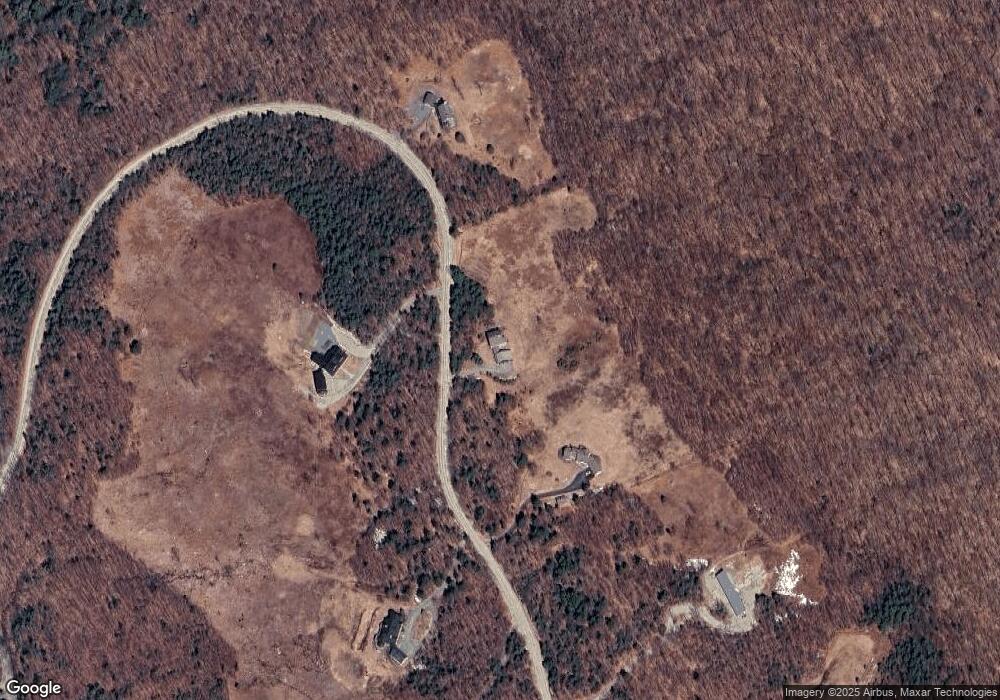
Map
Nearby Homes
- 25 Hilltop Dr
- 81 Gerald Dr
- Lower Crest Rd
- 344 Chalk Pond Rd
- 91 Chalk Pond Rd
- 0 Crest Dr Unit 4996159
- 0 Lakewood Manor Rd Unit 467
- 81 Lakewood Manor Rd
- 37 Baker Hill Rd
- 20 Edgemont Landing Rd
- 00 Brookside Rd Unit 530-317&525-332
- 8 Snow Rd
- 33 Chandler Brook Rd
- 1386 Route 103
- 30 Greystone Ln
- 6 Chapin Way Unit 6
- 12 Chapin Way Unit Lot 12
- 12 Shadow Ln
- 0 Roby Unit 5036005
- 0 Summit Rd Unit 431
- 13 High Meadow Rd
- 164 High Meadow Rd
- 125 High Meadow Rd
- 116 High Meadow Rd
- 161 High Meadow Rd
- 0 High Meadow Unit 13 4480233
- 173 High Meadow Rd
- 186 High Meadow Rd
- 5 High Meadow Rd
- 0 Cloudland Unit 14 and 15 4691458
- 0 Cloudland Unit 14 and 15 4754982
- 187 High Meadow Rd
- 46 High Meadow Rd
- Lot 13 High Meadow Rd
- 216 High Meadow Rd
- 21 High Meadow Rd
- 305 Rollins Rd
- 51 High Ridge Rd
- 46 High Ridge Rd
- 0 High Point Rd