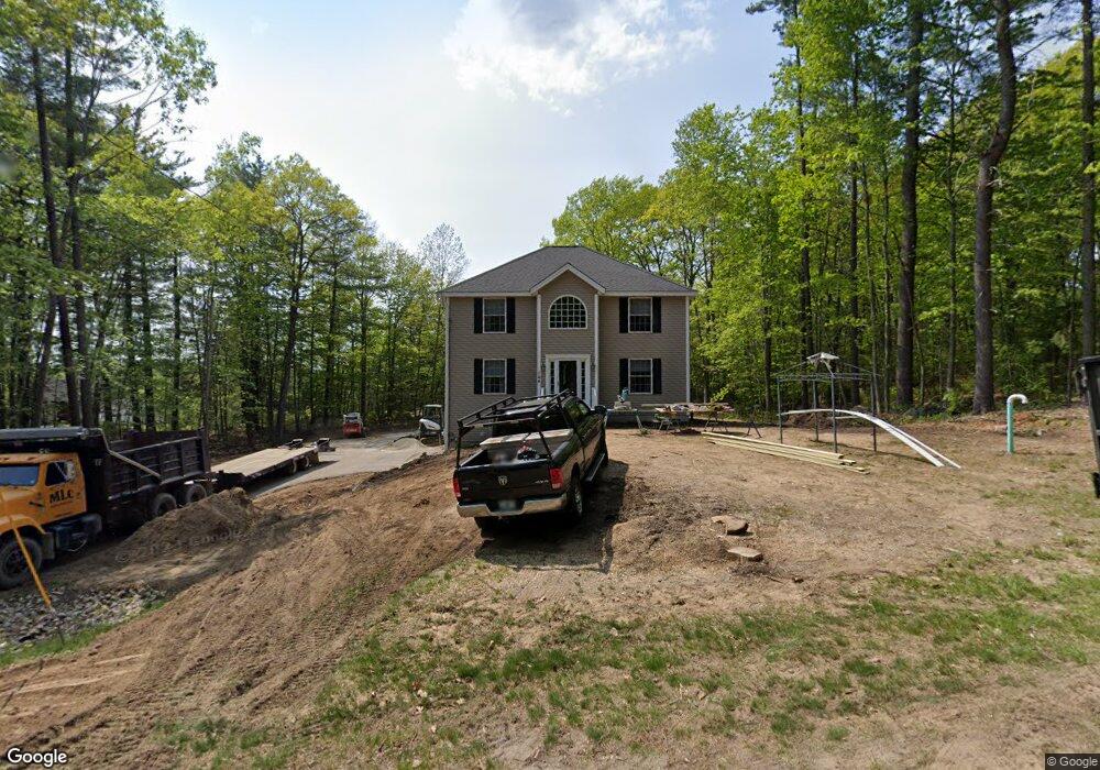
144 Lily Pond Rd Somersworth, NH 03878
Estimated Value: $501,000 - $546,010
--
Bed
1
Bath
1,936
Sq Ft
$267/Sq Ft
Est. Value
About This Home
This home is located at 144 Lily Pond Rd, Somersworth, NH 03878 and is currently estimated at $516,753, approximately $266 per square foot. 144 Lily Pond Rd is a home with nearby schools including Maple Wood Elementary School, Somersworth High School, and Tri-City Christian Academy.
Ownership History
Date
Name
Owned For
Owner Type
Purchase Details
Closed on
Mar 21, 2001
Sold by
Parks Conrad W and Parks Karin E
Bought by
Francoeur James F and Francoeur Debora A
Current Estimated Value
Home Financials for this Owner
Home Financials are based on the most recent Mortgage that was taken out on this home.
Original Mortgage
$144,000
Interest Rate
6.93%
Create a Home Valuation Report for This Property
The Home Valuation Report is an in-depth analysis detailing your home's value as well as a comparison with similar homes in the area
Home Values in the Area
Average Home Value in this Area
Purchase History
| Date | Buyer | Sale Price | Title Company |
|---|---|---|---|
| Francoeur James F | $30,000 | -- | |
| Francoeur James F | $30,000 | -- |
Source: Public Records
Mortgage History
| Date | Status | Borrower | Loan Amount |
|---|---|---|---|
| Open | Francoeur James F | $293,135 | |
| Closed | Francoeur James F | $289,275 | |
| Closed | Francoeur James F | $144,000 |
Source: Public Records
Tax History Compared to Growth
Tax History
| Year | Tax Paid | Tax Assessment Tax Assessment Total Assessment is a certain percentage of the fair market value that is determined by local assessors to be the total taxable value of land and additions on the property. | Land | Improvement |
|---|---|---|---|---|
| 2024 | $8,883 | $475,000 | $113,900 | $361,100 |
| 2023 | $8,283 | $282,700 | $52,900 | $229,800 |
| 2022 | $7,941 | $282,700 | $52,900 | $229,800 |
| 2021 | $7,697 | $279,600 | $52,900 | $226,700 |
| 2020 | $536 | $279,600 | $52,900 | $226,700 |
| 2019 | $530 | $279,600 | $52,900 | $226,700 |
| 2018 | $466 | $227,900 | $53,100 | $174,800 |
| 2017 | $7,541 | $227,900 | $53,100 | $174,800 |
| 2016 | $419 | $227,900 | $53,100 | $174,800 |
| 2015 | $7,350 | $227,900 | $53,100 | $174,800 |
| 2014 | $7,097 | $227,900 | $53,100 | $174,800 |
Source: Public Records
Map
Nearby Homes
- 43 Otis Rd
- 159 W High St
- 163 Rochester St
- 395 Route 108
- 4539A Knox Ln
- 58 Knox Ln
- 35 Rochester St
- 1 Bridge St
- 11 Linden St
- 23 Mount Vernon St
- 18 Grand St
- 203 New Hampshire 108
- 24-26 Highland St
- 39 Pine Hill Rd
- 91 Sullivan St
- 44 Logan St
- 61 Pine Hill Mhp Rd
- 25 High St
- 18 Lenox Dr Unit C
- 29 Chadwick Ln
- 140 Lily Pond Rd
- 139 Lily Pond Rd
- 151 Lily Pond Rd
- 21 Shore Rd
- 20 Shore Rd
- 20 Shore Rd
- 20 Shore Rd
- 157 Lily Pond Rd
- 130 Lily Pond Rd
- 126 Lily Pond Rd
- 168 Lily Pond Rd
- 78 Rocky Hill Rd
- 86 Rocky Hill Rd
- 160 Lily Pond Rd
- 18 Blue Heron Dr
- 120 Lily Pond Rd
- 88 Rocky Hill Rd
- 81 Rocky Hill Rd
- 112 Lily Pond Road -- Waterfront
- 83 Rocky Hill Rd