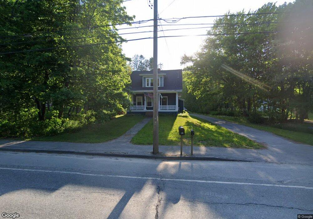
144 Main Rd S Hampden, ME 04444
Estimated Value: $254,000 - $305,000
3
Beds
1
Bath
1,202
Sq Ft
$230/Sq Ft
Est. Value
About This Home
This home is located at 144 Main Rd S, Hampden, ME 04444 and is currently estimated at $276,011, approximately $229 per square foot. 144 Main Rd S is a home located in Penobscot County.
Ownership History
Date
Name
Owned For
Owner Type
Purchase Details
Closed on
Aug 20, 2007
Sold by
Tietje Suzanne
Bought by
Gleason 2Nd Abel P and Gleason Janel B
Current Estimated Value
Home Financials for this Owner
Home Financials are based on the most recent Mortgage that was taken out on this home.
Original Mortgage
$147,900
Outstanding Balance
$93,691
Interest Rate
6.67%
Mortgage Type
Unknown
Estimated Equity
$182,320
Create a Home Valuation Report for This Property
The Home Valuation Report is an in-depth analysis detailing your home's value as well as a comparison with similar homes in the area
Home Values in the Area
Average Home Value in this Area
Purchase History
| Date | Buyer | Sale Price | Title Company |
|---|---|---|---|
| Gleason 2Nd Abel P | -- | -- |
Source: Public Records
Mortgage History
| Date | Status | Borrower | Loan Amount |
|---|---|---|---|
| Open | Gleason 2Nd Abel P | $147,900 |
Source: Public Records
Tax History Compared to Growth
Tax History
| Year | Tax Paid | Tax Assessment Tax Assessment Total Assessment is a certain percentage of the fair market value that is determined by local assessors to be the total taxable value of land and additions on the property. | Land | Improvement |
|---|---|---|---|---|
| 2024 | $2,728 | $174,300 | $62,500 | $111,800 |
| 2023 | $2,747 | $142,700 | $51,200 | $91,500 |
| 2022 | $2,633 | $127,200 | $45,600 | $81,600 |
| 2021 | $2,633 | $127,200 | $45,600 | $81,600 |
| 2020 | $2,595 | $127,200 | $45,600 | $81,600 |
| 2019 | $2,526 | $123,800 | $44,300 | $79,500 |
| 2018 | $120 | $123,800 | $44,300 | $79,500 |
| 2017 | $2,278 | $123,800 | $44,300 | $79,500 |
| 2016 | $2,239 | $123,000 | $44,000 | $79,000 |
| 2015 | $2,153 | $123,000 | $44,000 | $79,000 |
| 2014 | $2,167 | $123,800 | $44,300 | $79,500 |
| 2013 | $2,061 | $123,800 | $44,300 | $79,500 |
Source: Public Records
Map
Nearby Homes
- 63 Pleasant St
- 10 Orient Ave
- 238 Main Rd S
- 93 Hopkins Rd
- 48 & 50 Highland Ridge Dr
- 22 & 24 Highland Ridge Dr
- 55 & 57 Highland Ridge Dr
- 51 & 53 Highland Ridge Dr
- 16 & 18 Highland Ridge Dr
- 35 Highland Ridge Dr Unit 28
- 69 Cottage St
- 342 Main Rd S
- 12 Rowell Rd
- 18 Canoe Club Rd
- 66 Foster Ave
- 29 Foster Ave
- 128 Mayo Rd Unit D
- 0 Constitution
- 135 Mayo Rd Unit G
- 420 Main Rd S