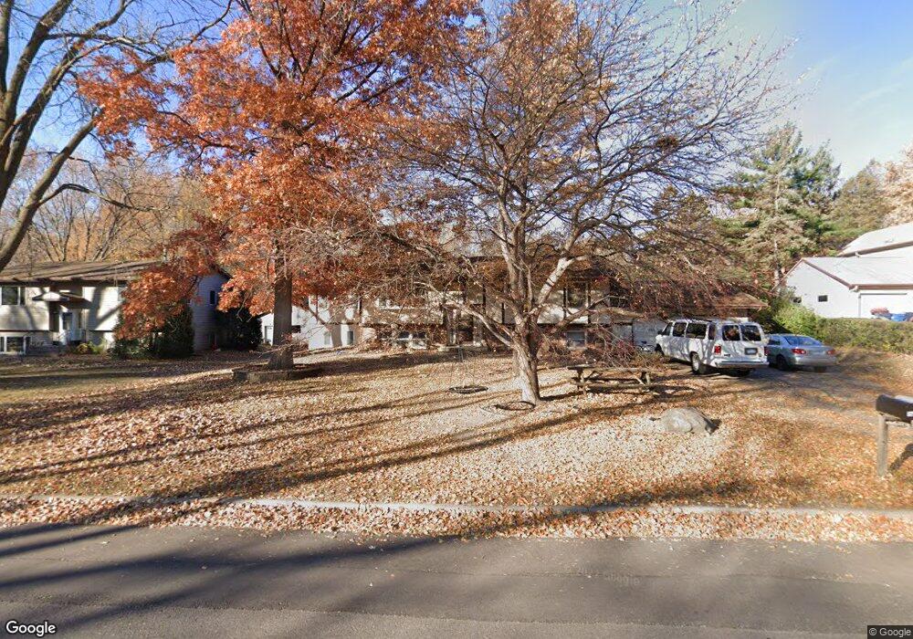
1441 Carrie St Saint Paul, MN 55118
Estimated Value: $389,000 - $462,000
5
Beds
3
Baths
1,494
Sq Ft
$286/Sq Ft
Est. Value
About This Home
This home is located at 1441 Carrie St, Saint Paul, MN 55118 and is currently estimated at $427,883, approximately $286 per square foot. 1441 Carrie St is a home located in Dakota County with nearby schools including Garlough Environmental Magnet, Heritage E-STEM Magnet School, and Two Rivers High School.
Ownership History
Date
Name
Owned For
Owner Type
Purchase Details
Closed on
Dec 1, 2014
Sold by
Davis Jeffrey R
Bought by
Heffron Matthew L and Heffron Arika E
Current Estimated Value
Home Financials for this Owner
Home Financials are based on the most recent Mortgage that was taken out on this home.
Original Mortgage
$220,644
Outstanding Balance
$169,199
Interest Rate
3.95%
Mortgage Type
VA
Estimated Equity
$258,684
Create a Home Valuation Report for This Property
The Home Valuation Report is an in-depth analysis detailing your home's value as well as a comparison with similar homes in the area
Home Values in the Area
Average Home Value in this Area
Purchase History
| Date | Buyer | Sale Price | Title Company |
|---|---|---|---|
| Heffron Matthew L | $216,000 | Executive Title Inc |
Source: Public Records
Mortgage History
| Date | Status | Borrower | Loan Amount |
|---|---|---|---|
| Open | Heffron Matthew L | $220,644 |
Source: Public Records
Tax History Compared to Growth
Tax History
| Year | Tax Paid | Tax Assessment Tax Assessment Total Assessment is a certain percentage of the fair market value that is determined by local assessors to be the total taxable value of land and additions on the property. | Land | Improvement |
|---|---|---|---|---|
| 2024 | $5,580 | $423,800 | $119,000 | $304,800 |
| 2023 | $5,580 | $450,300 | $126,000 | $324,300 |
| 2022 | $4,624 | $411,000 | $125,600 | $285,400 |
| 2021 | $4,486 | $355,100 | $109,200 | $245,900 |
| 2020 | $4,396 | $342,800 | $104,000 | $238,800 |
| 2019 | $4,126 | $327,500 | $99,000 | $228,500 |
| 2018 | $3,836 | $295,400 | $92,600 | $202,800 |
| 2017 | $3,754 | $287,300 | $88,200 | $199,100 |
| 2016 | $3,510 | $270,900 | $80,200 | $190,700 |
| 2015 | $3,531 | $241,037 | $74,209 | $166,828 |
| 2014 | -- | $234,933 | $68,683 | $166,250 |
| 2013 | -- | $221,526 | $62,800 | $158,726 |
Source: Public Records
Map
Nearby Homes
- 1523 Traverse Ln
- 360 Trenton Ln
- 1532 Trellis Ln
- Bayfield Plan at Thompson Square East
- Capri Plan at Thompson Square East
- 1531 Traverse Ln
- Hayward Plan at Thompson Square East
- Barcelona Plan at Thompson Square East
- Athens II Plan at Thompson Square East
- Athens Plan at Thompson Square East
- 1520 Traverse Ln
- 1522 Traverse Ln
- 1524 Traverse Ln
- 1526 Traverse Ln
- 1530 Trellis Ln
- 1534 Trellis Ln
- 1536 Trellis Ln
- 1538 Trellis Ln
- 1540 Trellis Ln
- 203 Moreland Ave E
- 1447 Carrie St
- 1427 Carrie St
- 1450 Carrie St
- 1450 Carrie St
- 1455 Carrie St
- 1440 Carrie St
- 1455 Carrie St
- 1450 Carrie St
- 1419 Carrie St
- 1456 Carrie St
- 1428 Carrie St
- 1462 Carrie St
- 1420 Carrie St
- 1471 Carrie St
- 1471 Carrie St
- 1409 Carrie St
- 1420 Carrie St
- 1468 Carrie St
- 1405 Carrie St
- 245 Thompson Ave E