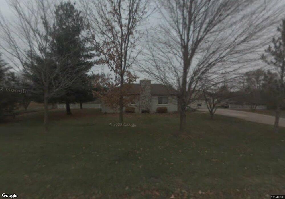
14440 Howe Rd Portland, MI 48875
Estimated Value: $264,000 - $414,000
3
Beds
2
Baths
1,716
Sq Ft
$184/Sq Ft
Est. Value
About This Home
This home is located at 14440 Howe Rd, Portland, MI 48875 and is currently estimated at $315,530, approximately $183 per square foot. 14440 Howe Rd is a home located in Clinton County with nearby schools including Oakwood Elementary School, Westwood Elementary School, and Portland Middle School.
Ownership History
Date
Name
Owned For
Owner Type
Purchase Details
Closed on
Mar 12, 2020
Sold by
Hindmon Carrie L and Hindmon Brian L
Bought by
Bolton Rachel A
Current Estimated Value
Home Financials for this Owner
Home Financials are based on the most recent Mortgage that was taken out on this home.
Original Mortgage
$179,900
Outstanding Balance
$162,244
Interest Rate
3.5%
Mortgage Type
USDA
Estimated Equity
$153,286
Create a Home Valuation Report for This Property
The Home Valuation Report is an in-depth analysis detailing your home's value as well as a comparison with similar homes in the area
Home Values in the Area
Average Home Value in this Area
Purchase History
| Date | Buyer | Sale Price | Title Company |
|---|---|---|---|
| Bolton Rachel A | $179,900 | Liberty Title |
Source: Public Records
Mortgage History
| Date | Status | Borrower | Loan Amount |
|---|---|---|---|
| Open | Bolton Rachel A | $179,900 |
Source: Public Records
Tax History Compared to Growth
Tax History
| Year | Tax Paid | Tax Assessment Tax Assessment Total Assessment is a certain percentage of the fair market value that is determined by local assessors to be the total taxable value of land and additions on the property. | Land | Improvement |
|---|---|---|---|---|
| 2025 | $1,667 | $115,200 | $19,900 | $95,300 |
| 2024 | $1,037 | $105,600 | $14,800 | $90,800 |
| 2023 | $982 | $101,400 | $0 | $0 |
| 2022 | $2,346 | $84,200 | $17,500 | $66,700 |
| 2021 | $2,276 | $76,500 | $17,300 | $59,200 |
| 2020 | $1,649 | $72,100 | $16,500 | $55,600 |
| 2019 | $1,573 | $66,400 | $16,100 | $50,300 |
| 2018 | $1,518 | $60,482 | $13,250 | $47,232 |
| 2017 | $1,499 | $59,938 | $13,300 | $46,638 |
| 2016 | $1,470 | $57,226 | $10,750 | $46,476 |
| 2015 | $1,466 | $56,734 | $0 | $0 |
| 2011 | -- | $60,009 | $0 | $0 |
Source: Public Records
Map
Nearby Homes
- 0 W Herbison Rd
- 15340 Cutler Rd
- 13433 S Grange Rd
- 14507 McCrumb Rd
- 13748 Alaska Ave
- 11744 E Grand River Ave
- 0 Mountainmint Cir Unit 287877
- 0 Chicory Ln Unit 286267
- 11678 E Grand River Ave
- 11877 W Herbison Rd
- 11781 W Herbison Rd
- 11958 Eden Trail
- 11500 Eden Trail
- 1 Frost Rd
- 11162 Harpham Dr
- 9584 Butler Rd
- 10696 W Clark Rd
- 10141 Charlotte Hwy
- 11471 S Bauer Rd
- 15364 Wright Rd