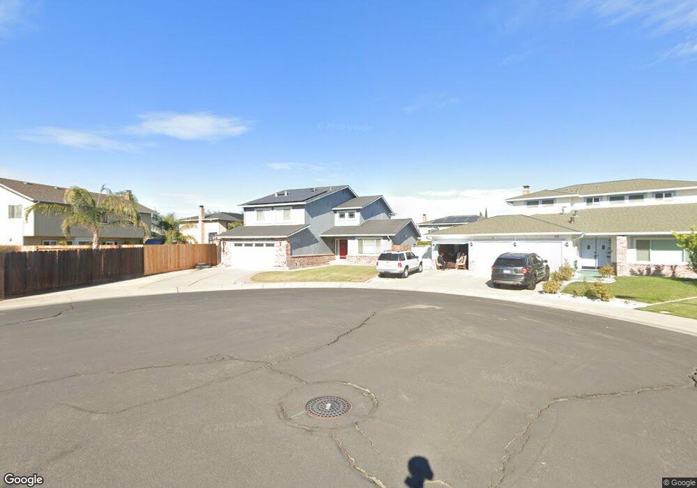
1445 Clipper Ct Manteca, CA 95337
Estimated Value: $619,000 - $664,000
5
Beds
3
Baths
2,732
Sq Ft
$234/Sq Ft
Est. Value
About This Home
This home is located at 1445 Clipper Ct, Manteca, CA 95337 and is currently estimated at $640,557, approximately $234 per square foot. 1445 Clipper Ct is a home located in San Joaquin County with nearby schools including Brock Elliott Elementary School and Sierra High School.
Ownership History
Date
Name
Owned For
Owner Type
Purchase Details
Closed on
Sep 11, 2002
Sold by
Vanpatten Linda
Bought by
Aguilar Timothy J and Aguilar Jennifer
Current Estimated Value
Home Financials for this Owner
Home Financials are based on the most recent Mortgage that was taken out on this home.
Original Mortgage
$223,200
Outstanding Balance
$109,351
Interest Rate
8.65%
Estimated Equity
$531,206
Purchase Details
Closed on
Apr 17, 1996
Sold by
Norris Dan Gregory
Bought by
Vanpatten Linda
Create a Home Valuation Report for This Property
The Home Valuation Report is an in-depth analysis detailing your home's value as well as a comparison with similar homes in the area
Purchase History
| Date | Buyer | Sale Price | Title Company |
|---|---|---|---|
| Aguilar Timothy J | $279,000 | Chicago Title Co | |
| Vanpatten Linda | -- | -- |
Source: Public Records
Mortgage History
| Date | Status | Borrower | Loan Amount |
|---|---|---|---|
| Open | Aguilar Timothy J | $223,200 |
Source: Public Records
Tax History
| Year | Tax Paid | Tax Assessment Tax Assessment Total Assessment is a certain percentage of the fair market value that is determined by local assessors to be the total taxable value of land and additions on the property. | Land | Improvement |
|---|---|---|---|---|
| 2025 | $4,502 | $404,054 | $120,200 | $283,854 |
| 2024 | $4,376 | $396,133 | $117,844 | $278,289 |
| 2023 | $4,323 | $388,367 | $115,534 | $272,833 |
| 2022 | $4,259 | $380,753 | $113,269 | $267,484 |
| 2021 | $4,213 | $373,289 | $111,049 | $262,240 |
| 2020 | $4,042 | $369,463 | $109,911 | $259,552 |
| 2019 | $3,989 | $362,219 | $107,756 | $254,463 |
| 2018 | $3,936 | $355,118 | $105,644 | $249,474 |
| 2017 | $3,879 | $348,156 | $103,573 | $244,583 |
| 2016 | $3,786 | $341,331 | $101,543 | $239,788 |
| 2014 | $3,519 | $329,622 | $98,060 | $231,562 |
Source: Public Records
Map
Nearby Homes
- 578 Schooner Place
- 1432 Driftwood Way
- 1176 Junction Dr
- 1821 Avo Way
- 1164 Marion St
- 1015 Tenaya Ct
- 896 Cinnamon Teal Ct
- 1976 Reading Way
- 938 Snowgoose Ln
- 865 Locust Ave
- 1432 Meridian St
- 1444 Meridian St
- 776 Folsom Way
- 778 Mission Ridge Dr
- 1025 Barbados St
- 1602 Oleander Ave
- 1676 Red Ribbons Ln
- 1142 Mammoth Dr
- 707 Chenin Blanc Dr
- 1653 Dairy Ln
- 1441 Clipper Ct
- 1030 Sunfish Dr
- 1036 Sunfish Dr
- 1434 Sextant Way
- 1442 Sextant Way
- 1044 Sunfish Dr
- 1426 Sextant Way
- 1442 Clipper Ct
- 1448 Sextant Way
- 1418 Sextant Way
- 1444 Clipper Ct
- 1058 Sunfish Dr
- 1041 Compass Ln
- 1049 Compass Ln
- 1035 Compass Ln
- 1029 Sunfish Dr
- 1033 Sunfish Dr
- 1441 Sextant Way
- 1433 Sextant Way
- 1023 Sunfish Dr
Your Personal Tour Guide
Ask me questions while you tour the home.