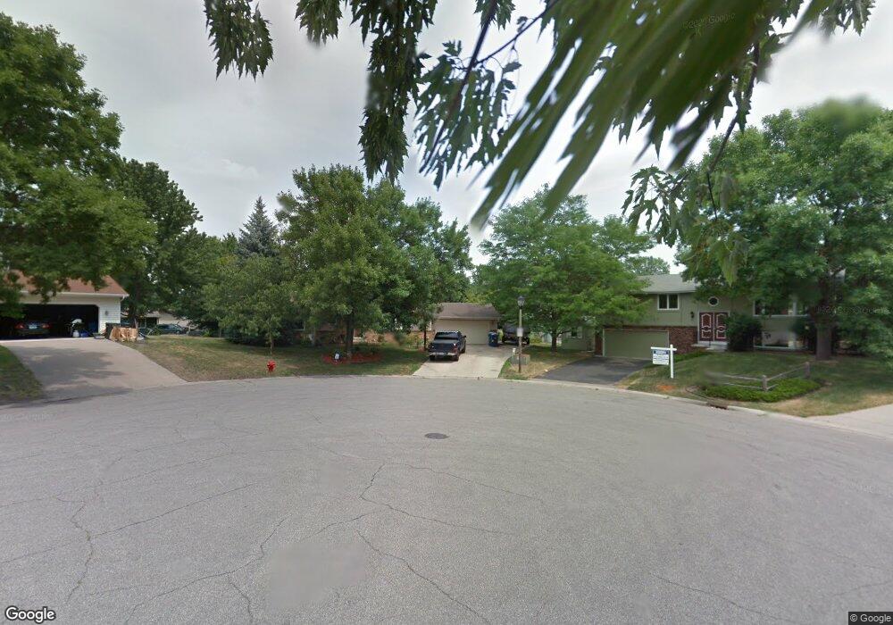
14474 Upper Guthrie Ct Saint Paul, MN 55124
Alimagnet NeighborhoodEstimated Value: $390,000 - $475,000
4
Beds
2
Baths
1,904
Sq Ft
$218/Sq Ft
Est. Value
About This Home
This home is located at 14474 Upper Guthrie Ct, Saint Paul, MN 55124 and is currently estimated at $415,228, approximately $218 per square foot. 14474 Upper Guthrie Ct is a home located in Dakota County with nearby schools including Westview Elementary School, Valley Middle School, and Apple Valley Senior High School.
Ownership History
Date
Name
Owned For
Owner Type
Purchase Details
Closed on
Nov 1, 2021
Sold by
Swenson Lawrence C and Swenson Kathryn L
Bought by
Veerasamy Sasikumar and Sasikumar Kumary
Current Estimated Value
Home Financials for this Owner
Home Financials are based on the most recent Mortgage that was taken out on this home.
Original Mortgage
$342,000
Outstanding Balance
$313,817
Interest Rate
3.09%
Mortgage Type
New Conventional
Estimated Equity
$101,411
Create a Home Valuation Report for This Property
The Home Valuation Report is an in-depth analysis detailing your home's value as well as a comparison with similar homes in the area
Home Values in the Area
Average Home Value in this Area
Purchase History
| Date | Buyer | Sale Price | Title Company |
|---|---|---|---|
| Veerasamy Sasikumar | $360,000 | Titlesmart Inc |
Source: Public Records
Mortgage History
| Date | Status | Borrower | Loan Amount |
|---|---|---|---|
| Open | Veerasamy Sasikumar | $342,000 |
Source: Public Records
Tax History
| Year | Tax Paid | Tax Assessment Tax Assessment Total Assessment is a certain percentage of the fair market value that is determined by local assessors to be the total taxable value of land and additions on the property. | Land | Improvement |
|---|---|---|---|---|
| 2024 | $3,860 | $350,200 | $98,500 | $251,700 |
| 2023 | $3,860 | $344,600 | $98,700 | $245,900 |
| 2022 | $3,390 | $335,300 | $98,400 | $236,900 |
| 2021 | $3,264 | $298,600 | $85,600 | $213,000 |
| 2020 | $3,246 | $282,400 | $82,500 | $199,900 |
| 2019 | $2,857 | $273,200 | $78,500 | $194,700 |
| 2018 | $2,742 | $253,700 | $74,800 | $178,900 |
| 2017 | $2,765 | $234,900 | $71,200 | $163,700 |
| 2016 | $2,775 | $225,700 | $67,800 | $157,900 |
| 2015 | $2,501 | $207,029 | $61,434 | $145,595 |
| 2014 | -- | $187,409 | $58,287 | $129,122 |
| 2013 | -- | $181,632 | $53,639 | $127,993 |
Source: Public Records
Map
Nearby Homes
- 14351 Glenda Dr
- 14231 Glencove Trail
- 14620 Garrett Ave Unit 310
- 14620 Garrett Ave Unit 104
- 14630 Garrett Ave Unit 506
- 14630 Garrett Ave Unit 606
- 14349 Hemlock Ct S
- 14160 Heritage Ct
- 14797 Haven Dr
- 26650 Jasma Dr
- 13850 Pennock Ave
- 14479 Garland Ave
- 858 Haralson Dr
- 14207 Hibiscus Ct
- 13807 Granada Way Unit 9
- 7577 138th St W
- 13868 Glendale Ct
- 14168 Heywood Path
- 14172 Heywood Path
- 814 Fireside Dr
- 14478 Upper Guthrie Ct
- 14470 Upper Guthrie Ct
- 14432 Lower Guthrie Ct
- 14428 Lower Guthrie Ct
- 14482 Upper Guthrie Ct
- 14436 Lower Guthrie Ct
- 14466 Upper Guthrie Ct
- 14432 Pennock Ave
- 14438 Pennock Ave
- 14428 Pennock Ave
- 14486 Upper Guthrie Ct
- 14422 Pennock Ave
- 14412 Pennock Ave
- 14424 Lower Guthrie Ct
- 14408 Pennock Ave
- 14440 Lower Guthrie Ct
- 14490 Upper Guthrie Ct
- 14402 Pennock Ave
- 14462 Upper Guthrie Ct
- 14398 Pennock Ave
Your Personal Tour Guide
Ask me questions while you tour the home.